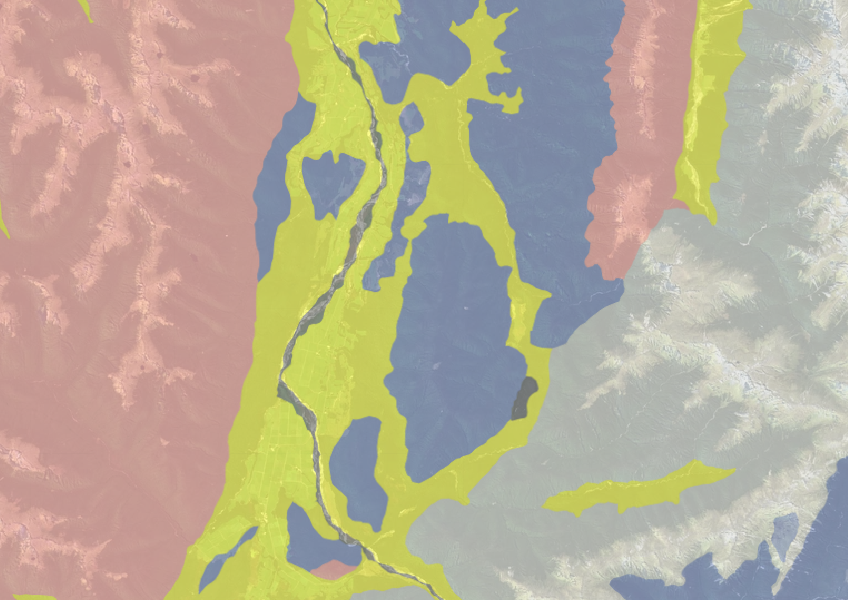
New Zealand Land Resource Inventory (NZLRI) - Rock
Whenua
Planning
Soil
Sustainability
Use the NZLRI rock dataset to understand what type of rock is under your whenua.
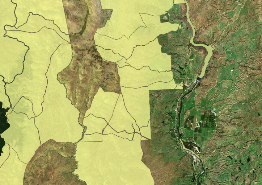
This dataset shows all Crown Land and properties managed by LINZ. It also includes land that LINZ manages for other agencies.
The boundaries of these properties are linked to a database, but some may not be accurate. This means the boundaries are only a guide and not always exact.
If you are a farmer or land owner, this information can help you understand what Crown Land is nearby and how it might affect your land use or rights. Some specific types of Crown properties, like South Island Pastoral Leases, are also available in this resource.
Data sourced from LINZ and licensed under CC BY 4.0.
Use the NZLRI rock dataset to understand what type of rock is under your whenua.
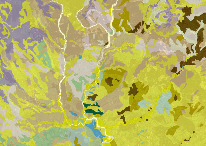
Get a better understanding of soil types on your whenua and across Aotearoa.

This map shows erosion types and estimated severity across Aotearoa.

Learn about the Treaty Settlements Landbank and how Māori interests in land are legally protected.
Get guidance about how to search for and request official copies of Māori land records.
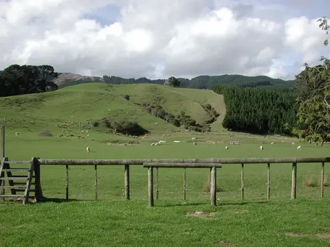
Find out how to access information about Māori land and its ownership and governance.

LUCAS is a national dataset that tracks carbon sequestration and land use change over time.

See land cover in Aotearoa and how it has changed over time.

Explore sea-level rise projections for New Zealand’s coasts, with local impacts and maps available.
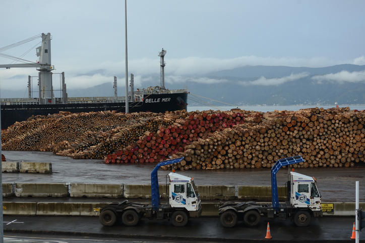
This technical model estimates forest profit expectations from 1990 to 2013.
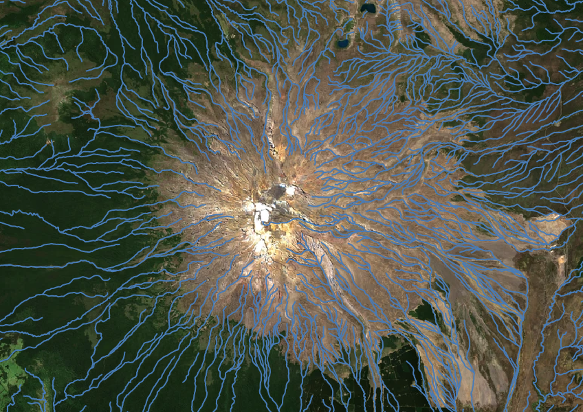
Download a dataset of named and unnamed river lines data for use in your analysis.

Discover how much mānuka honey the whenua in your rohe could produce each year.
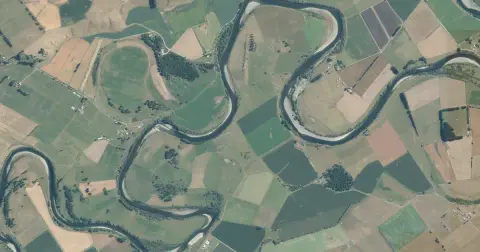
See flood risk maps for your region now and under future climate changes.
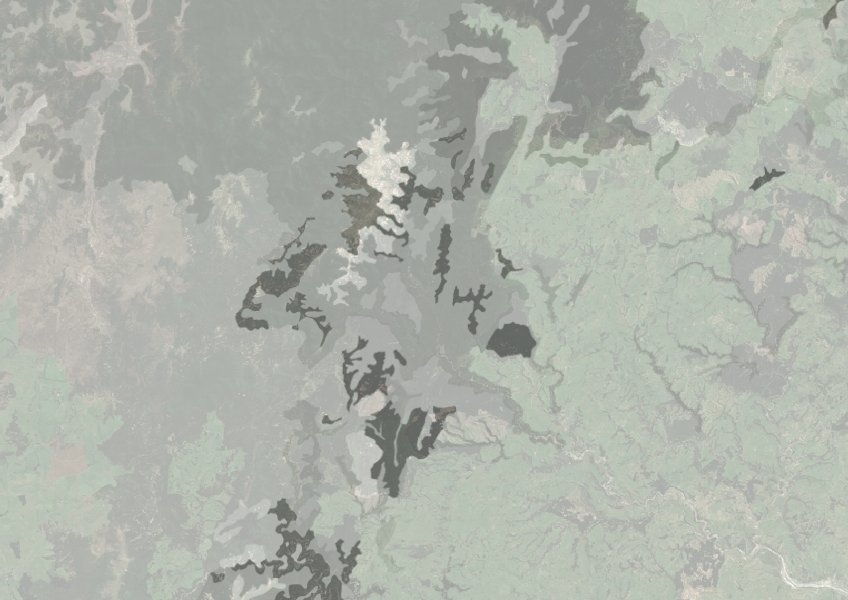
Understand how rocky your whenua is so you can make better land use decisions.
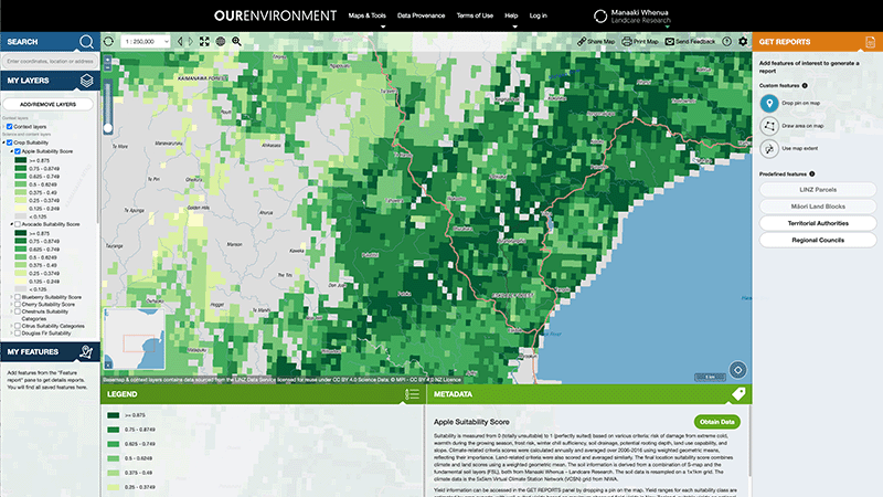
Explore New Zealand’s environment with interactive maps and data on various themes.
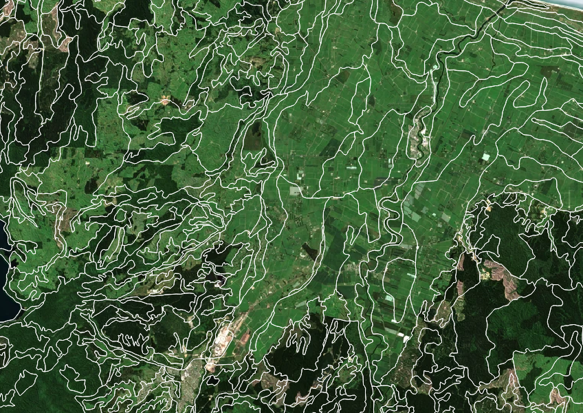
Get high-level soil classification data for Te Wai Pounamu to help with land use decisions.
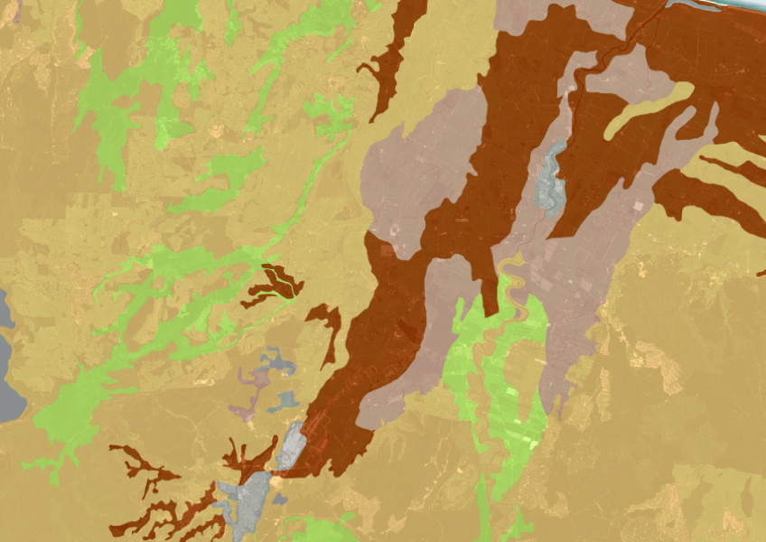
A dataset that estimates soil temperature across the motu.
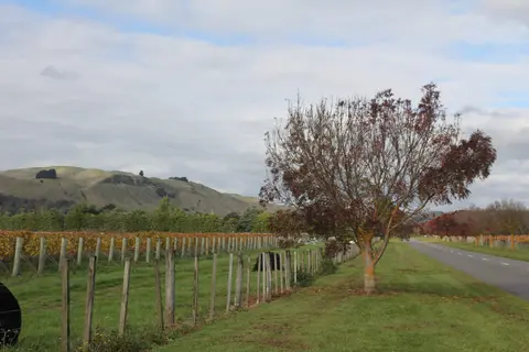
Get high-level soil classification data for Te Ika a Māui to help with land use decisions.
A comprehensive dataset that tracks how rural land is used across Aotearoa.
AgriBase maps NZ farms, offering data on type, size, and history for land use planning and research.
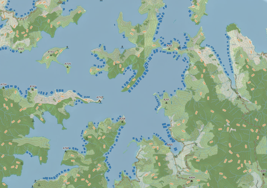
This map shows areas in Aotearoa that are used for aquatic farming.
Learn about whenua leases, types, benefits, and managing lease agreements on Māori land.