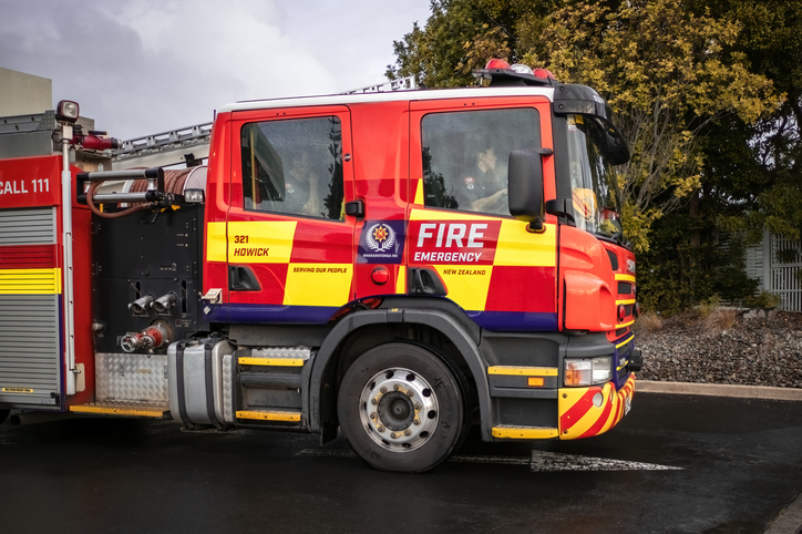
Forest fire danger (1990s, 2040, 2090)
Climate
Forestry
Risk
Sustainability
Check how forest fire danger in your rohe could change out to 2090.
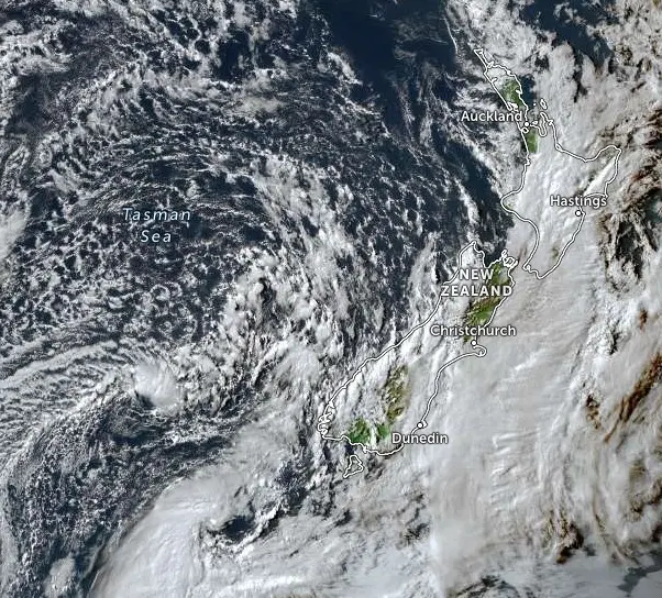
See your whenua from above with Zoom Earth. This online map shows live satellite images of Aotearoa and around the world. You can check your area for recent weather patterns, flooding, fire damage, or major changes like slips or erosion.
Check how forest fire danger in your rohe could change out to 2090.
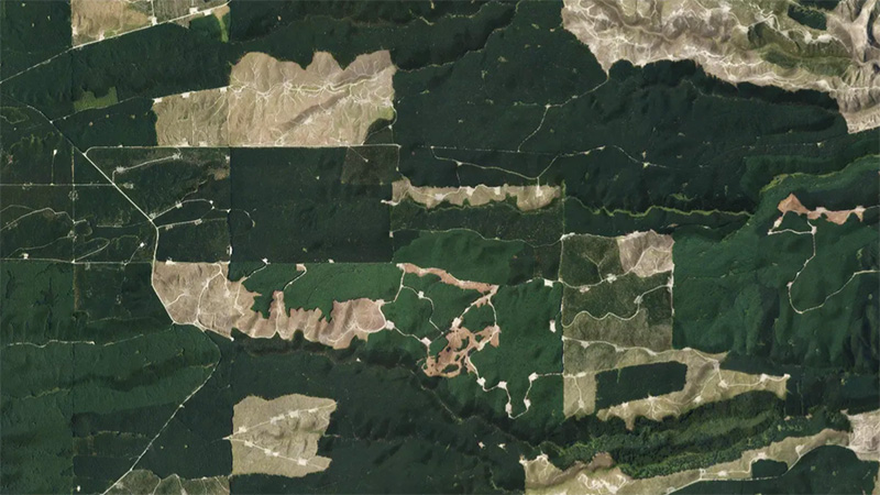
This add-in for Google Earth can help you monitor and analyse forest changes using satellite imagery and public datasets.
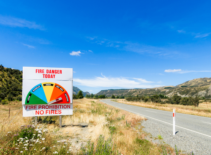
Learn about fire risks during droughts and how forestry insurance works in Aotearoa.
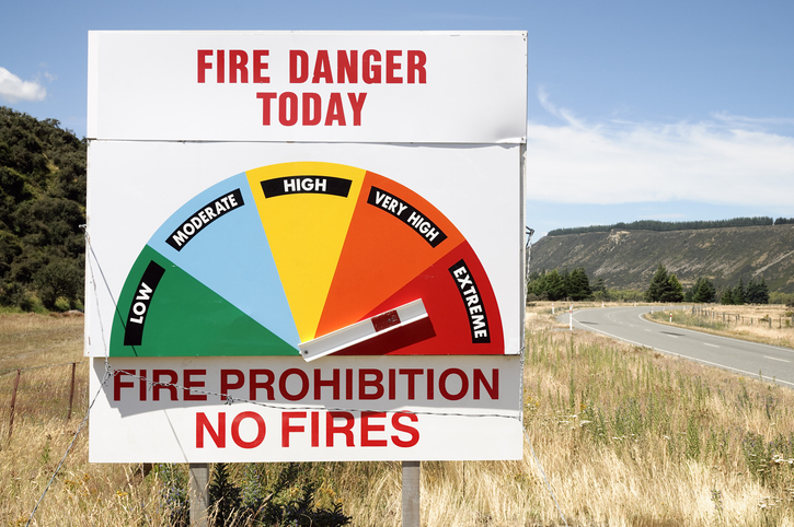
Access fire risk maps and forecasts, plus key weather data for Aotearoa's regions.
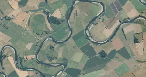
See flood risk maps for your region now and under future climate changes.
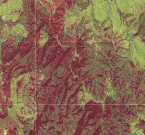
Check for land instability and slip-prone areas in the Whangārei District
Plantation Watch Lite offers satellite imagery for land changes in Aotearoa.
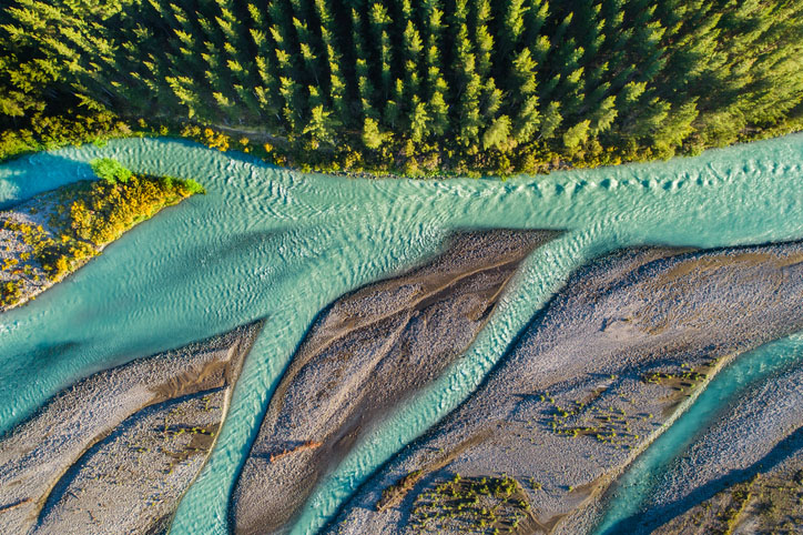
This add-in for Google Earth can help you track short-term land changes using satellite imagery and public datasets.

Explore coastal flood maps to assess the potential impacts of sea-level rise in your rohe.
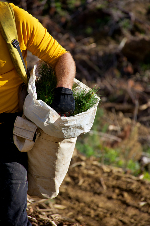
This code provides safety guidance for forestry work in New Zealand. It covers health, equipment, and emergency procedures.
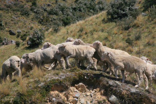
The ESC can determine whether you need resource consent to establish plantation forestry on your whenua.

See land cover in Aotearoa and how it has changed over time.

See how rising temperatures, floods, changing rain, and the environment may affect our whenua over the next century.
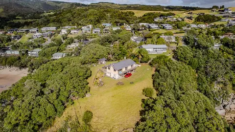
Check how coastal flooding, erosion and river flooding could affect your own property.
An online tool for real-time extreme weather event attribution in Aotearoa.
Explore projected temperature and rainfall changes for Aotearoa online.
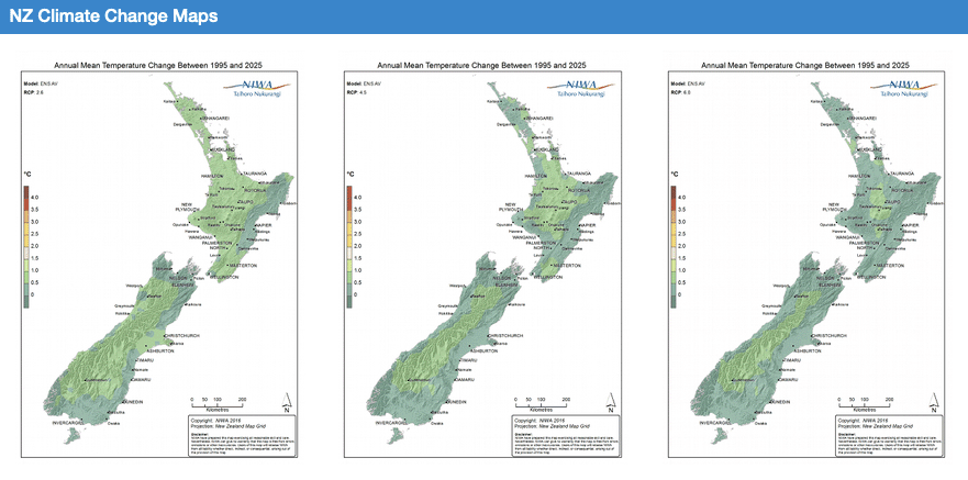
Explore how climate change will impact New Zealand's weather and environment over the coming century.
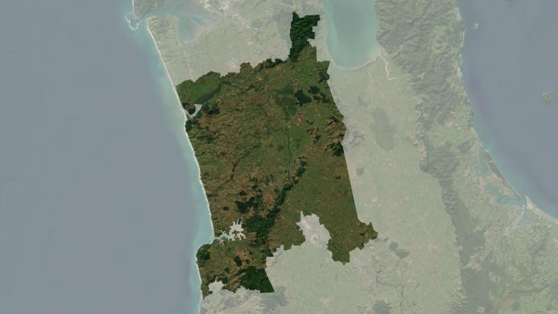
Understand climate event and variability trends for Waikato District.
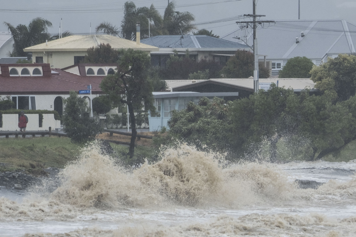
Explore interactive maps showing climate hazards for your hapori.
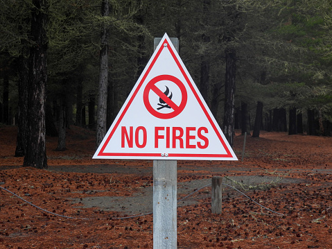
Learn how to reduce wildfire risks in rural areas and protect your property.
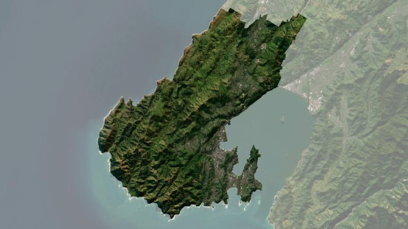
Understand climate event and variability trends for Wellington.
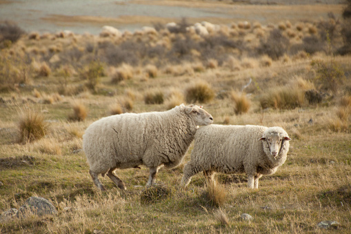
See how haemonchosis risk for your livestock could shift as the climate changes.
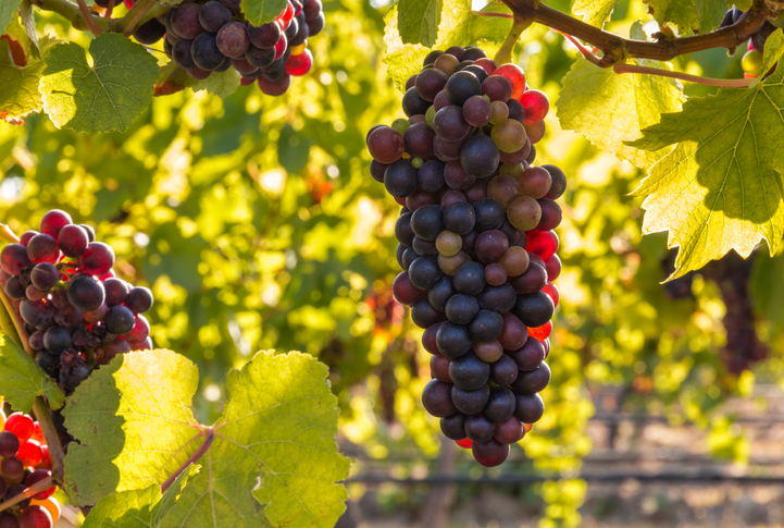
Check how well suited the whenua in your rohe is to growing Pinot noir grapes.