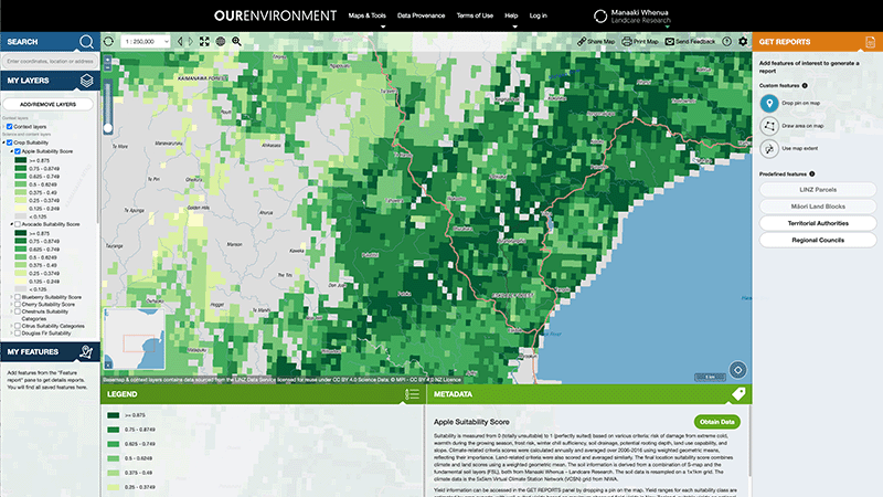
OurEnvironment NZ Land Atlas
Whenua
Biodiversity
Conservation
Forestry
Horticulture
Livestock
Planning
Soil
Sustainability
Whenua Māori
Explore New Zealand’s environment with interactive maps and data on various themes.
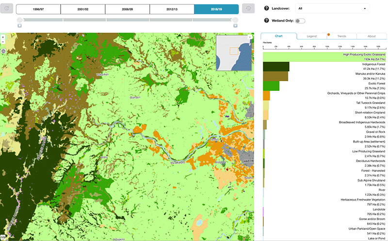
This interactive map lets you explore how land cover has changed in Aotearoa over the past 25 years. It includes maps, charts, and filters for different types of land use and land cover including wetlands.
Explore New Zealand’s environment with interactive maps and data on various themes.
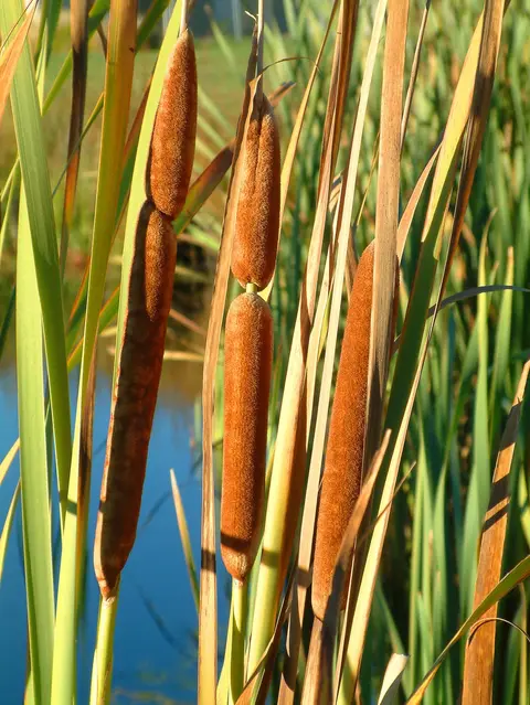
An interactive key to identify different wetlands that can be found in Aotearoa.
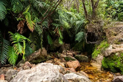
View historic indigenous forest cover in Te Ika a Māui based on a range of different data and imagery.

Explore sea-level rise projections for New Zealand’s coasts, with local impacts and maps available.

LUCAS is a national dataset that tracks carbon sequestration and land use change over time.
This paper explores how land ownership policies impact forest cover in New Zealand.

See land cover in Aotearoa and how it has changed over time.
Plantation Watch Lite offers satellite imagery for land changes in Aotearoa.
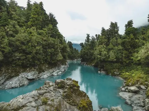
View historic indigenous forest cover in Te Wai Pounamu based on a range of different data and imagery.
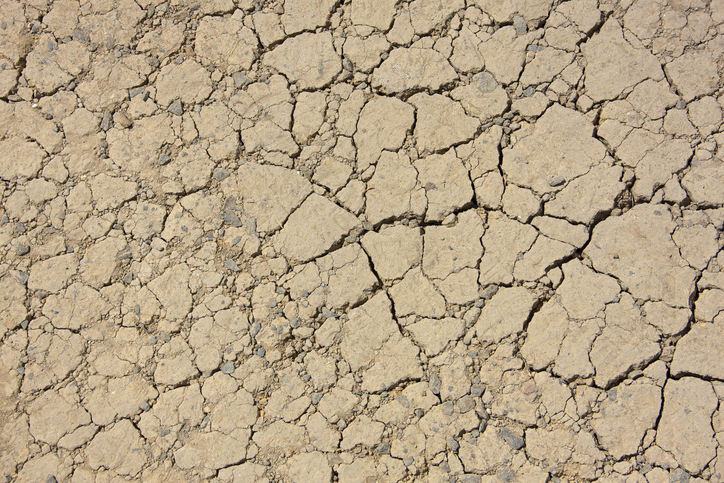
View drought intensity data and charts for your region. Updated monthly.
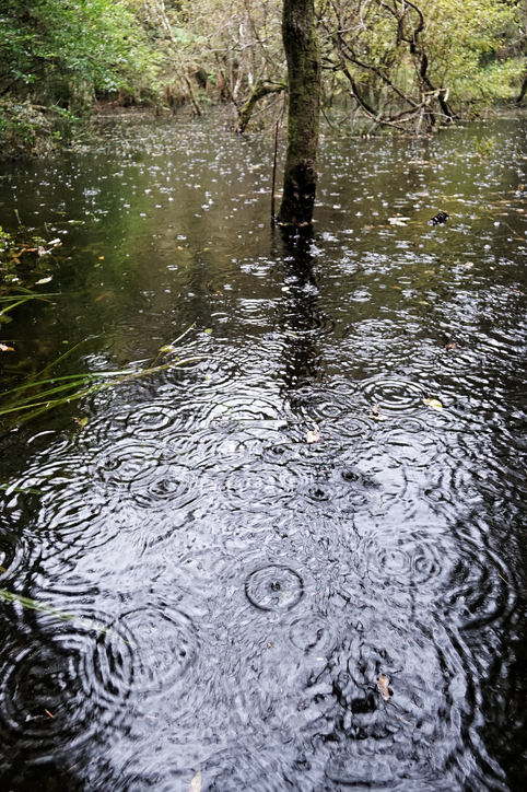
See how drought conditions and extreme rainfall in Aotearoa have changed as a result of climate change.
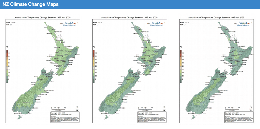
Explore how climate change will impact New Zealand's weather and environment over the coming century.
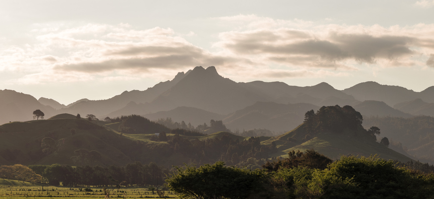
Explore future scenarios for the Waikato region with this interactive tool.
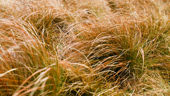
An interactive key to identify different Aotearoa grass species.
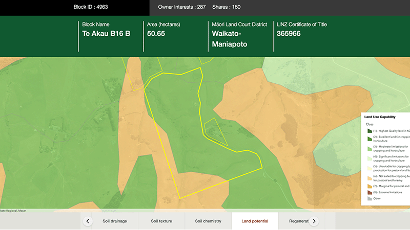
Explore different regulatory, soil, water, and land potential maps for your whenua.
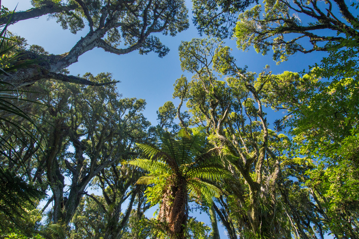
Explore New Zealand's forests, their history, importance, and management efforts.
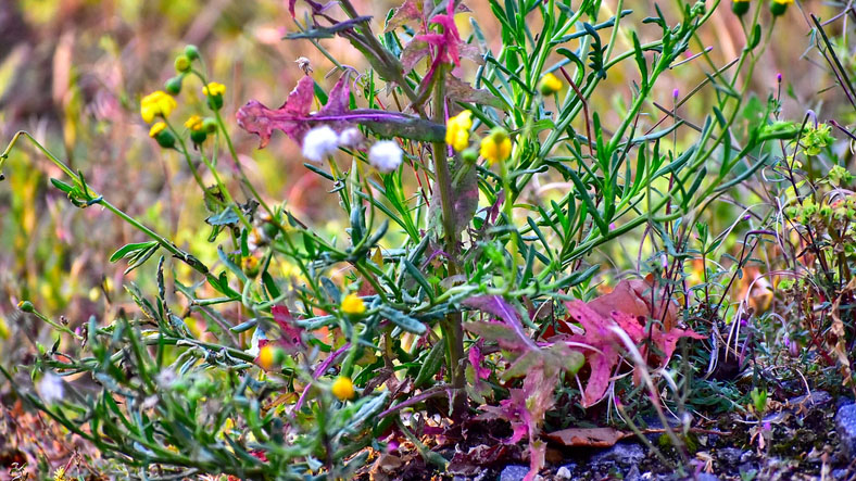
An interactive key to identify different weeds that can be found in Aotearoa.
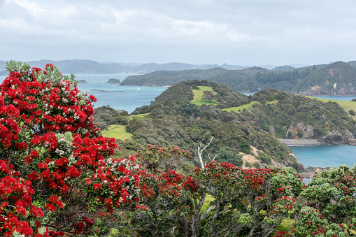
Explore projected temperature and rainfall changes for Aotearoa online.
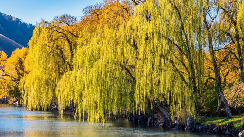
An interactive key to identify different Aotearoa willow species.
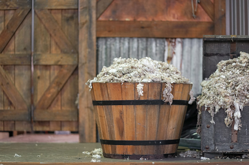
The report shows how Māori land use for farming changed between 2006 to 2016.
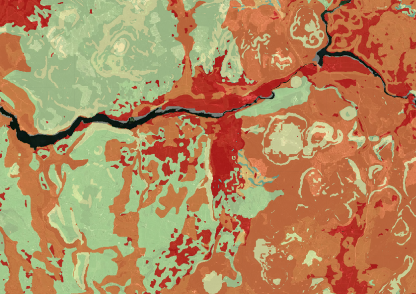
Map showing our remaining indigenous vegetation and its protection status..
Explore Tairāwhiti's land use history and the impact of agriculture on its landscape.