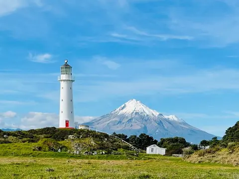
Environmental data in Taranaki
Whenua
Flooding
Water
Check live rainfall, river level and water quality readings across Taranaki.
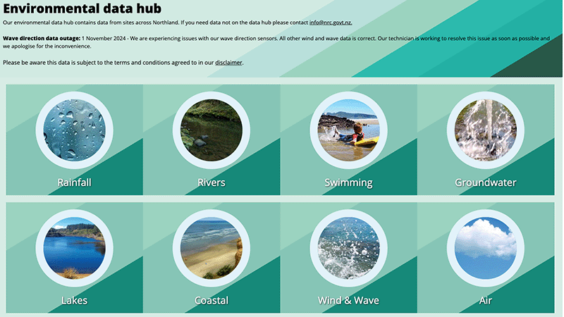
The Northland Environmental Data Hub provides real-time environmental data, including rainfall, river levels, water quality for swimming, groundwater, lakes, coastal conditions, wind, waves, and air quality.
Check live rainfall, river level and water quality readings across Taranaki.
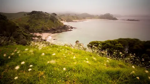
View rainfall data for Northland, showing monthly averages and percentages from gauges.
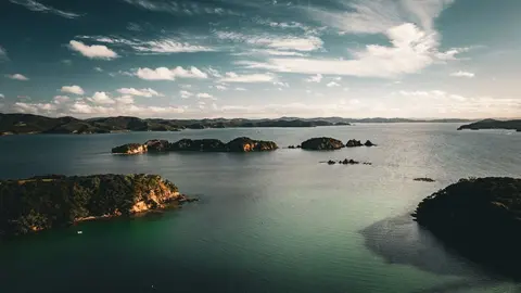
Find out what Northland's mild, humid and windy climate means for your whenua.
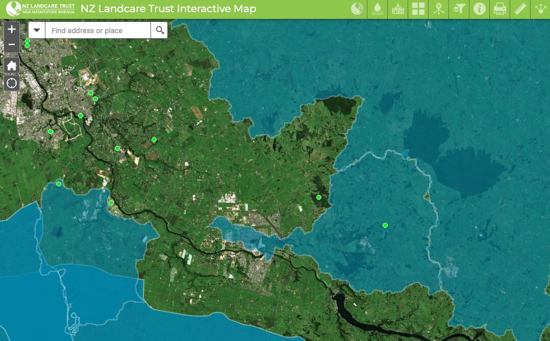
Find catchment and environmental groups and water quality data with this interactive map.
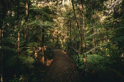
Explore how restoring bush, wetlands and waterways builds Northland's climate resilience.
The Hawke's Bay Farmers Hub offers support and resources for Hawke's Bay farmers and land owners.
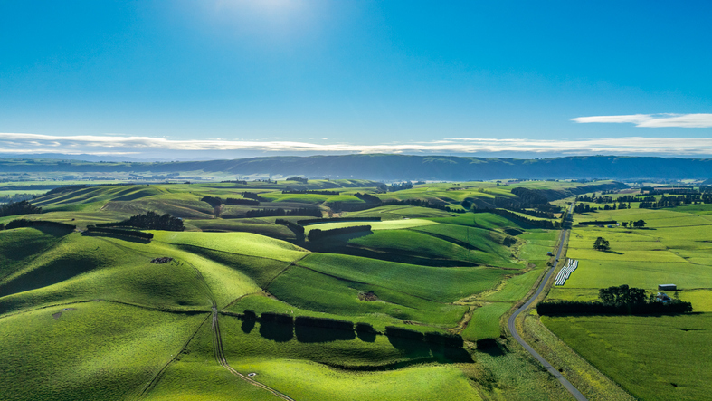
Get help to plan for climate change impacts on your whenua.
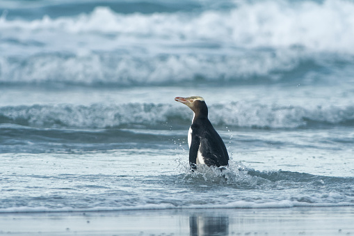
Find data on how climate change affects water in Aotearoa’s rivers and groundwater.
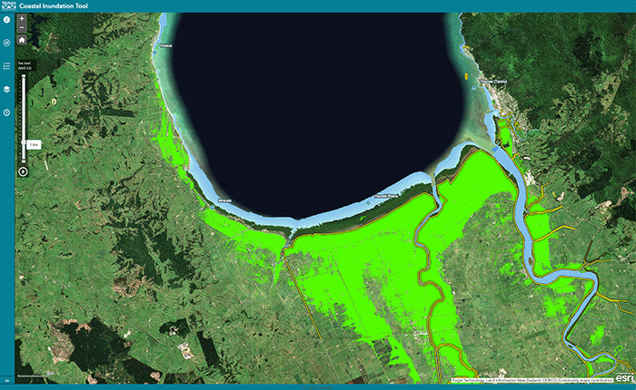
Understand coastal flooding risks in the Waikato region.
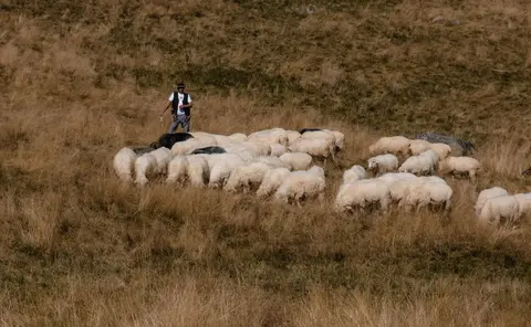
Explore ten practical ways to lift productivity, profitability and sustainability on your farm.
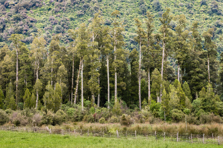
Explore opportunities for using and marketing farm-grown totara timber in Taitokerau.
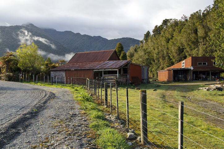
Find essential tools and resources for dairy farming and freshwater management on the West Coast.
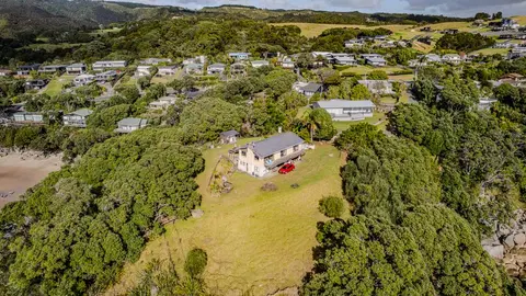
Check how coastal flooding, erosion and river flooding could affect your own property.
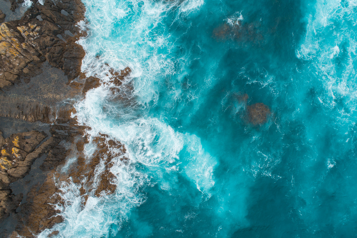
This add-in for Google Earth can help you analyse coastal changes using satellite imagery and public datasets.
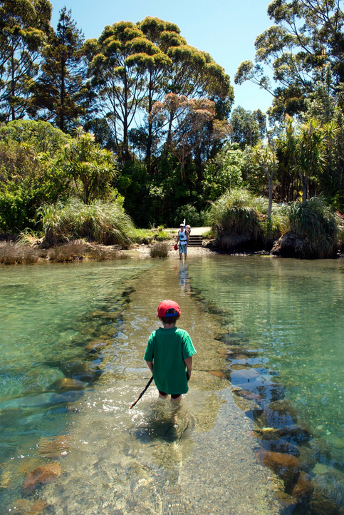
See how land-use and farm practice changes on your land can impact water quality across the catchment.
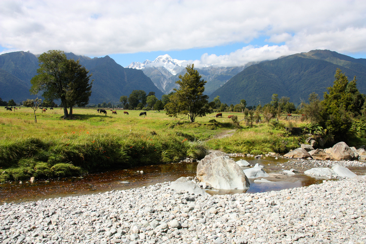
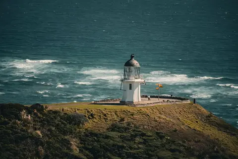
Read NIWA's full technical report on Northland's climate out to 2090.
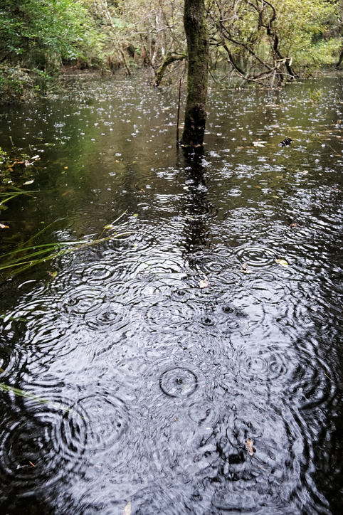
See how drought conditions and extreme rainfall in Aotearoa have changed as a result of climate change.
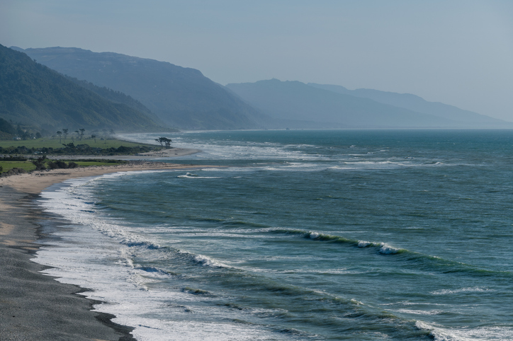
The SOE report shows the West Coast's natural resource trends and areas for improvement.
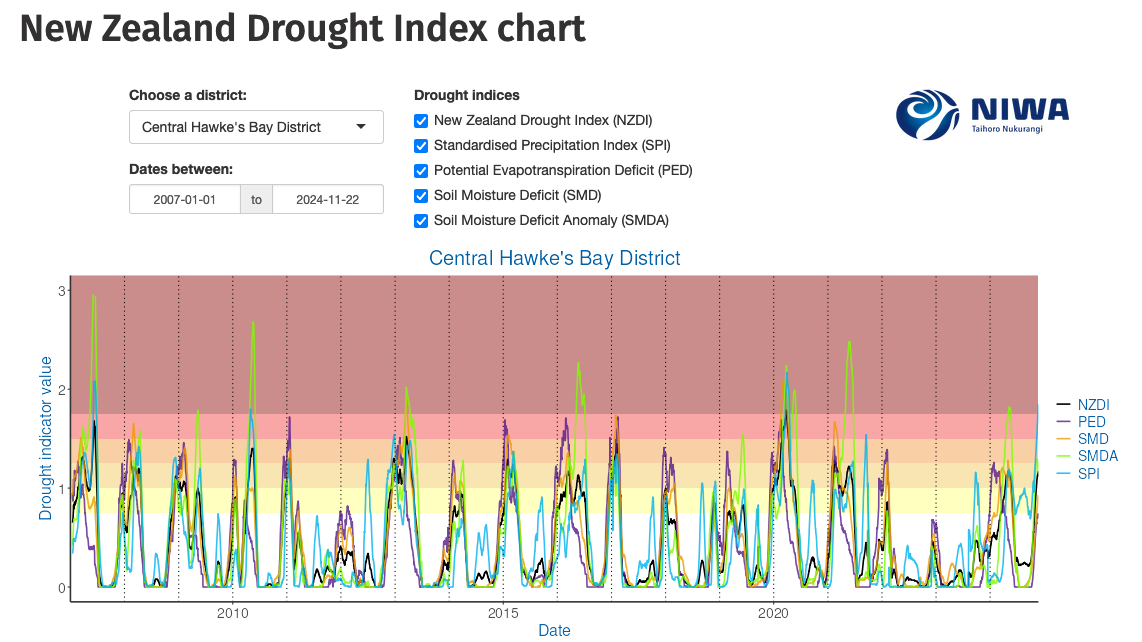
Monitor drought in New Zealand using key indicators and climate data. Access maps and downloads.

Explore how land use affects soil and water quality across New Zealand catchments.
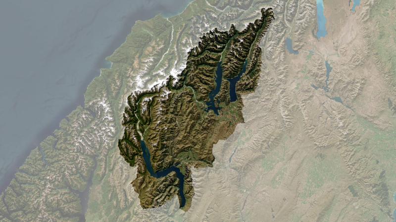
Understand climate event and variability trends for Queenstown-Lakes District.
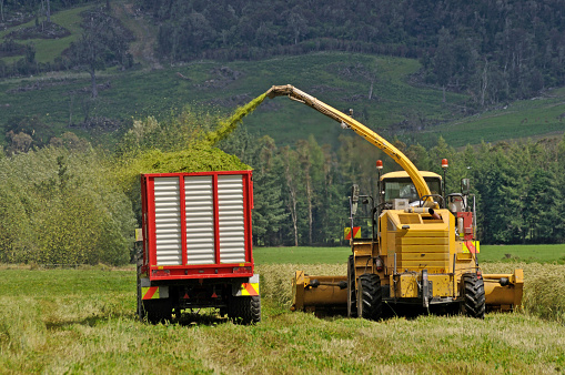
Good Farm Planning Hub offers tools and resources to help Taranaki farmers plan and thrive.