
NZ sea-level rise and vertical land movement maps
Climate
Adaptation
Flooding
Planning
Policy
Resilience
Explore sea-level rise projections for New Zealand’s coasts, with local impacts and maps available.
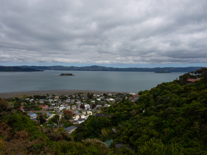
The NZ SeaRise project provides a map showing predicted vertical land movement for Eastbourne and its bays. This area has a rich history, with Māori living there for centuries and European settlers developing it into a seaside spot. The 1855 earthquake raised the land by about 2 metres, shaping the coast. Today, Eastbourne faces challenges from sea level rise, especially along its single coastal road. The project is intended to help landowners understand these changes and plan for the future of their properties and infrastructure.
Explore sea-level rise projections for New Zealand’s coasts, with local impacts and maps available.
Find out how sea level rise and extreme weather events like cyclones will worsen flooding in Aotearoa.
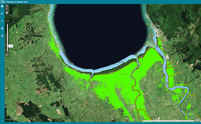
Understand coastal flooding risks in the Waikato region.
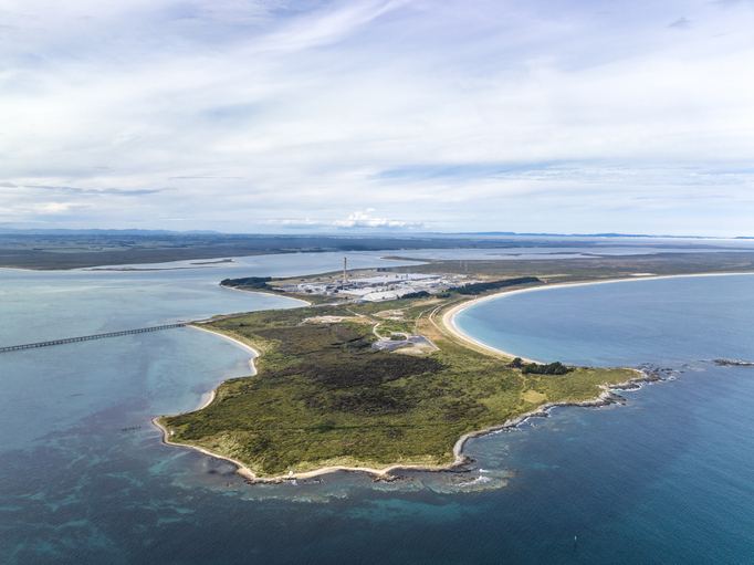
Explore Tiwai Point's unique history and the environmental challenges it faces due to sea level rise.
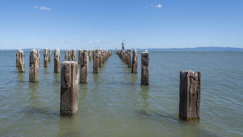
Explore Thames' unique history and the environmental challenges it faces due to sea level rise.
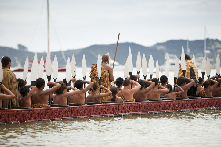
This resource focuses on community engagement for adapting to climate change in New Zealand.
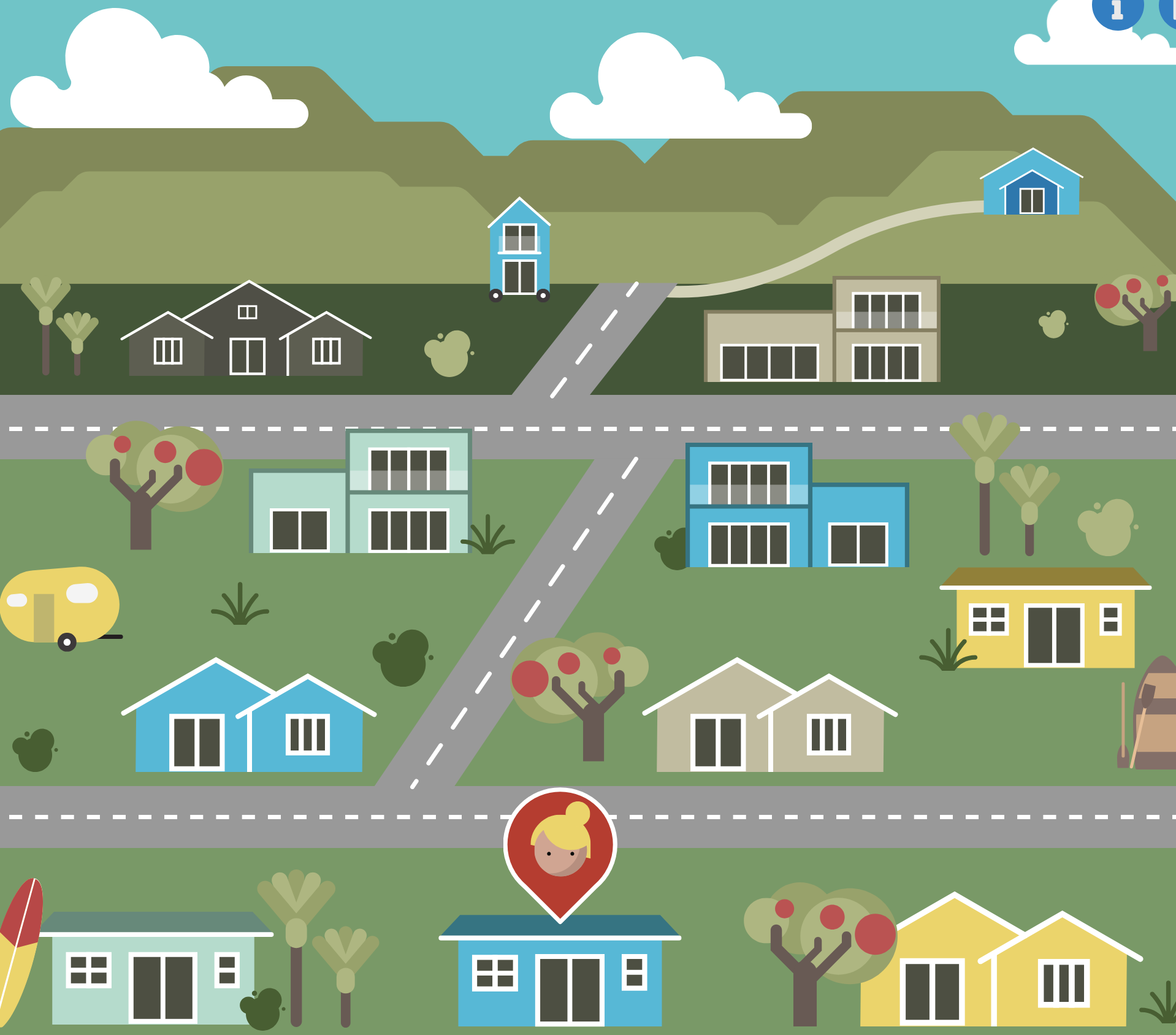
An online game about adapting your coastal property as sea levels rise.

Explore coastal flood maps to assess the potential impacts of sea-level rise in your rohe.
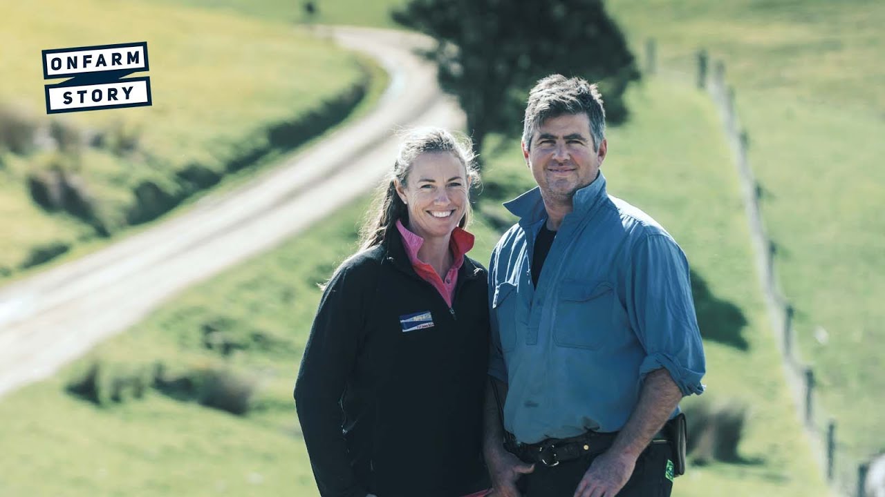
A farm family shares their journey of resilience and recovery after the Kaikoura earthquake.

Learn how many jobs covered blueberries could support on the whenua in your rohe.
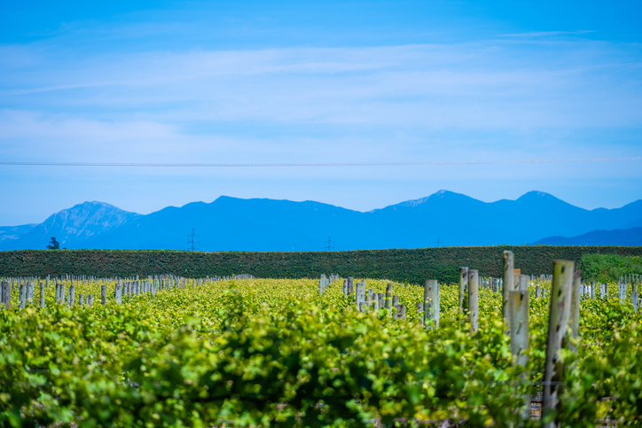
Discover how many jobs Sauvignon blanc grapes could support on the whenua in your rohe.
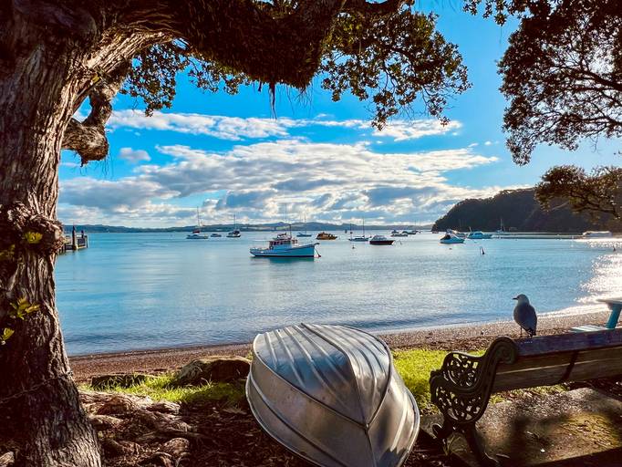
Te Tai Tokerau’s strategy tackles climate challenges with councils and Māori collaboration.
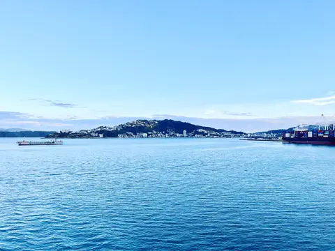
Learn how Wellington's commercial buildings and industry can switch heat from gas to electricity and biomass.
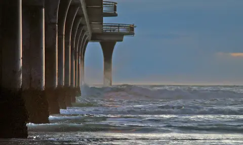
Research on adaptive tools for water infrastructure facing compounding coastal hazards.
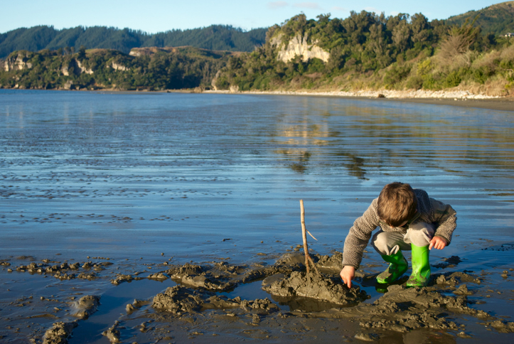
Read about potential ways to transition exotic coastal buffers to native forests.

This map shows erosion types and estimated severity across Aotearoa.
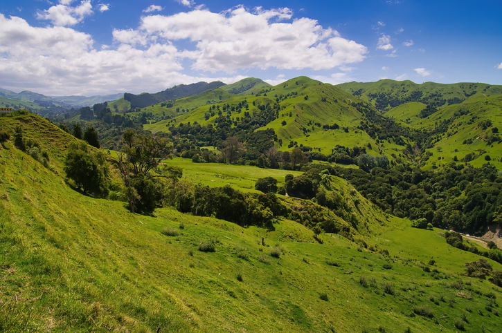
Learn about sustainable Māori forestry and agriculture for climate resilience on the East Coast.
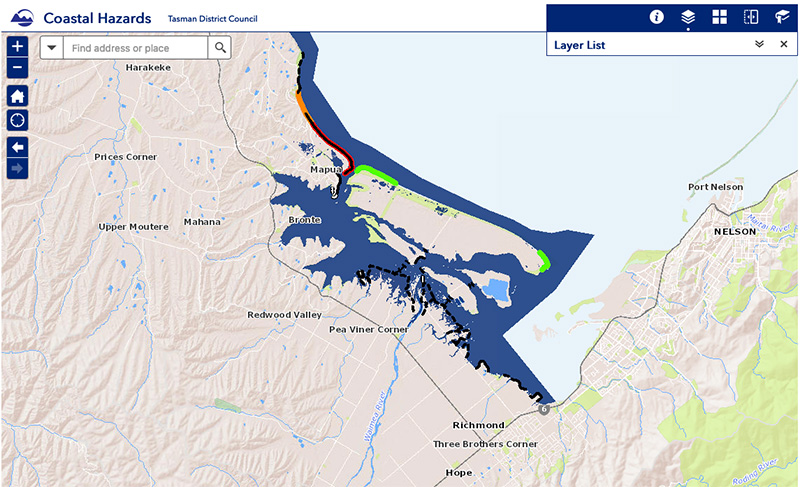
View sea-level rise and coastal erosion risks in Tasman Bay and Golden Bay.
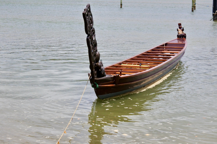
Find out about the history of whenua Māori, from arrival to recent times.
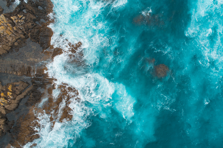
This add-in for Google Earth can help you analyse coastal changes using satellite imagery and public datasets.
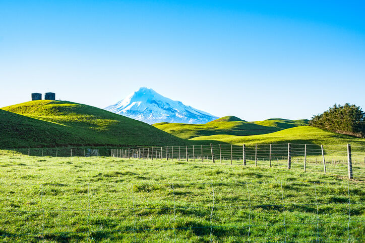
A report produced by NIWA, details climate change impacts and projections for Taranaki until 2100.

Learn about Māori land ownership, its history, and how it works today.
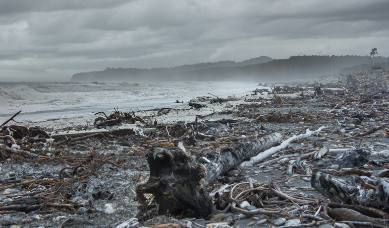
A detailed report on the climate-related challenges facing Māori communities.