
Land Use and Carbon Analysis System (LUCAS) Land Use Map
Whenua
Emissions reduction
Forestry
Policy
Sequestration
Sustainability
LUCAS is a national dataset that tracks carbon sequestration and land use change over time.
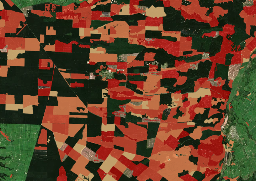
This dataset shows where forests have been cleared between 2008 and 2020. It is based on the Ministry for the Environment's Land Use Carbon Analysis System (LUCAS) uses satellite images to find clearings and tells you when they happened.
Note that this dataset does not show what happened to the land after the trees were cleared, like whether they were replanted or left bare.
Data supplied by Ministry for the Environment (MfE) licensed under CC BY 4.0.
LUCAS is a national dataset that tracks carbon sequestration and land use change over time.
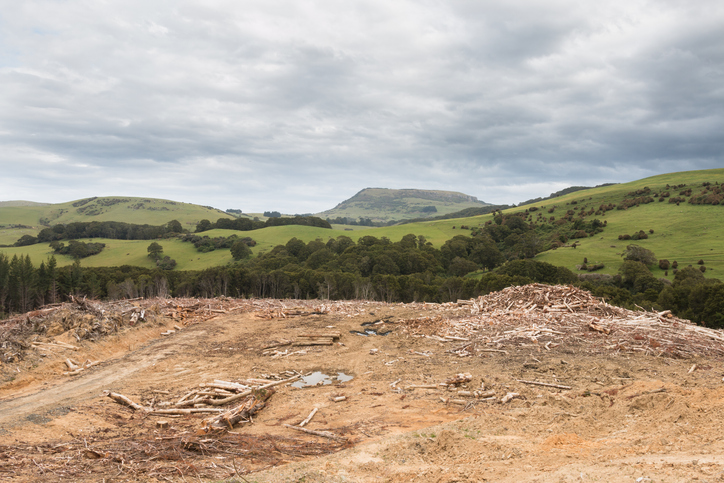
See statistics about deforestation for each local council area.
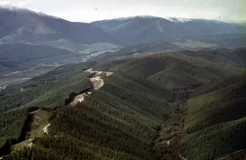
Understand the key considerations for land owners when considering entering the ETS.
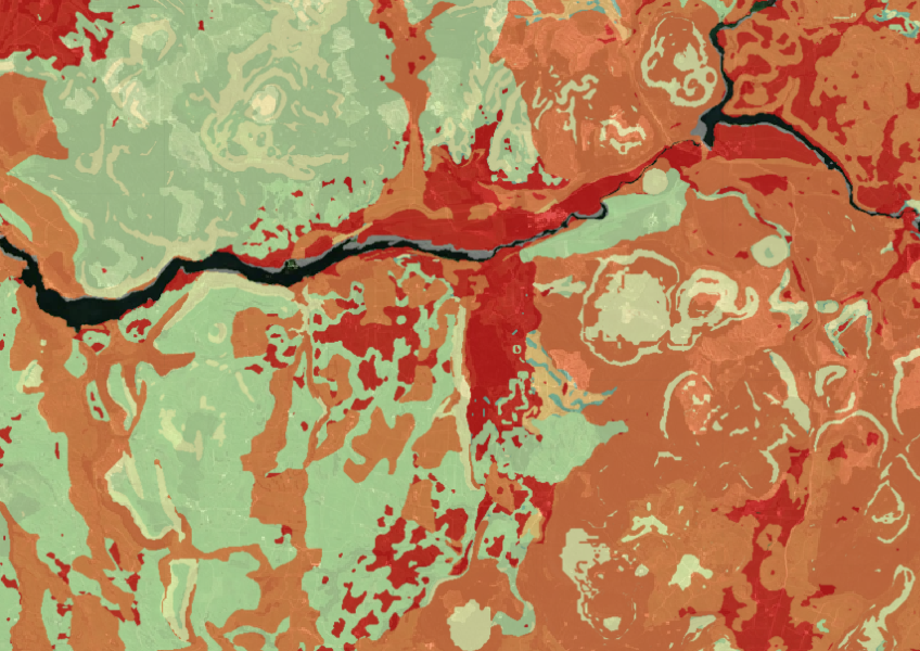
Map showing our remaining indigenous vegetation and its protection status..
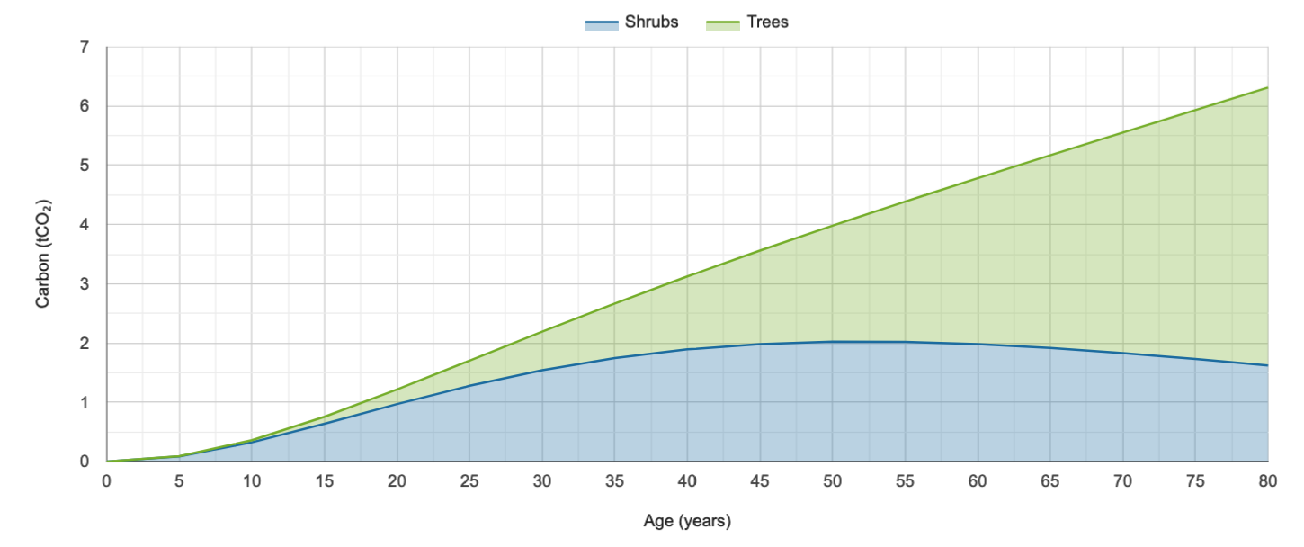
Calculate carbon storage in native forests and find planting needs to offset your footprint.
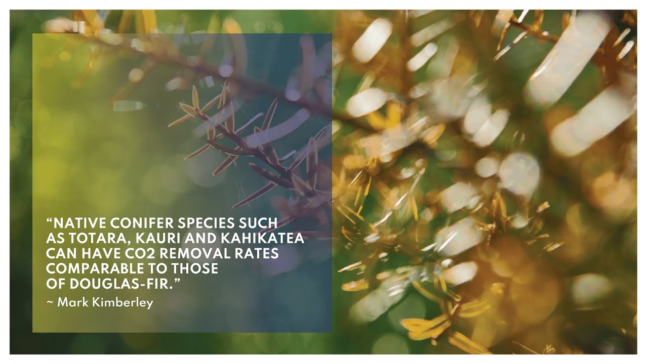
Find out about carbon sequestration rates in native forests and planting methods in New Zealand.
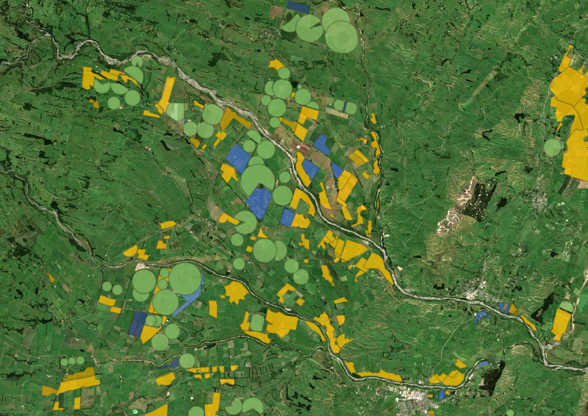
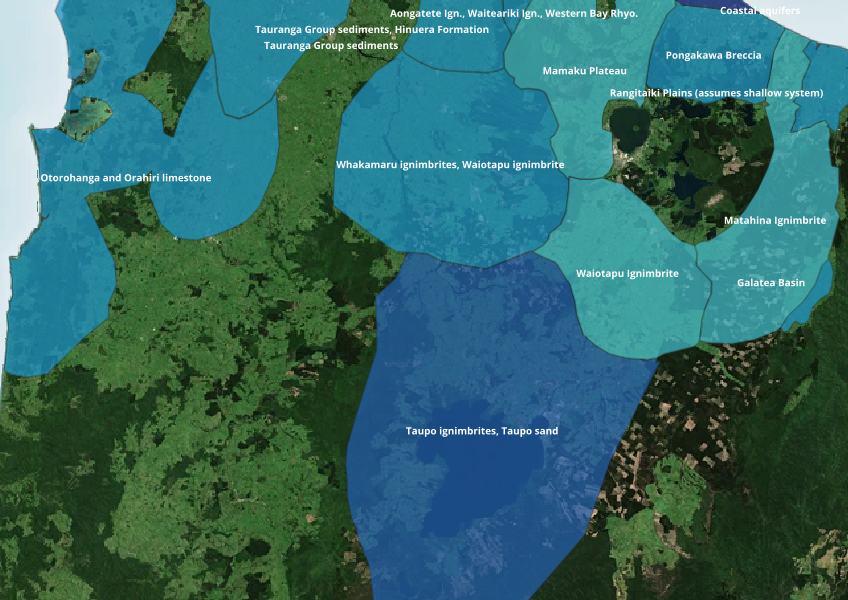
Find out where you might be able to access groundwater in your rohe.
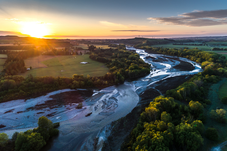
A comprehensive dataset of Aotearoa river catchments that drain to the sea.
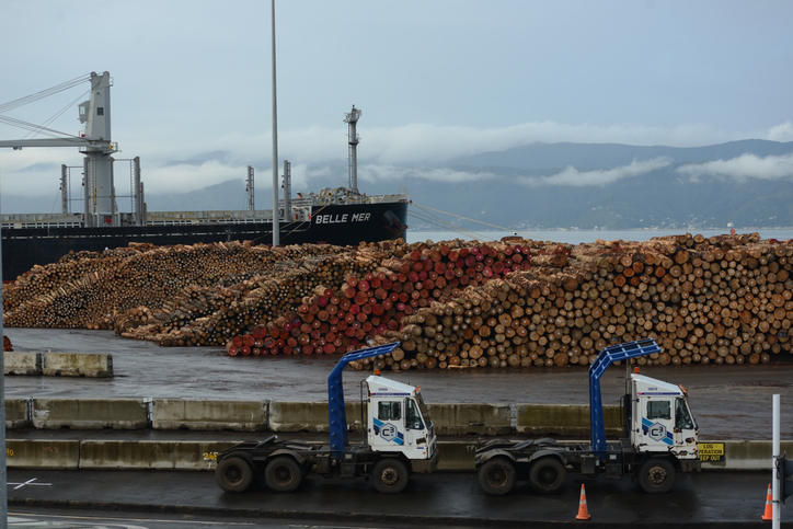
This technical model estimates forest profit expectations from 1990 to 2013.
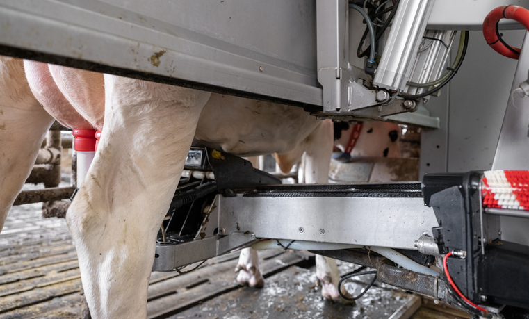
Read about the Greenfield Project which showed that automated milking can be successful within a New Zealand pastoral system.
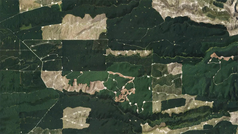
This add-in for Google Earth can help you monitor and analyse forest changes using satellite imagery and public datasets.
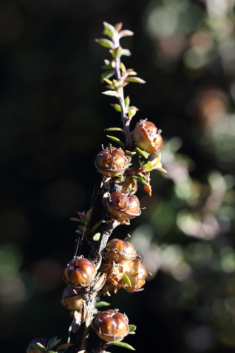
Plantation Watch Lite offers satellite imagery for land changes in Aotearoa.
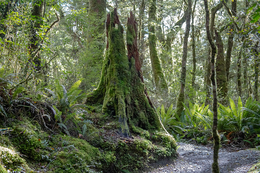
Learn how trees absorb CO2 and help fight climate change in New Zealand.

See land cover in Aotearoa and how it has changed over time.
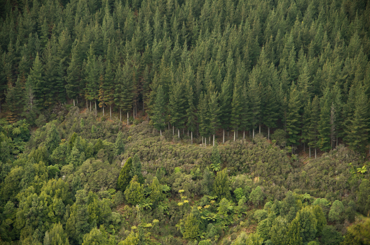
Explore how suited your whenua is for planting radiata pine as a forestry crop.
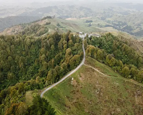
The standard tables that set a smaller forest's carbon earnings.
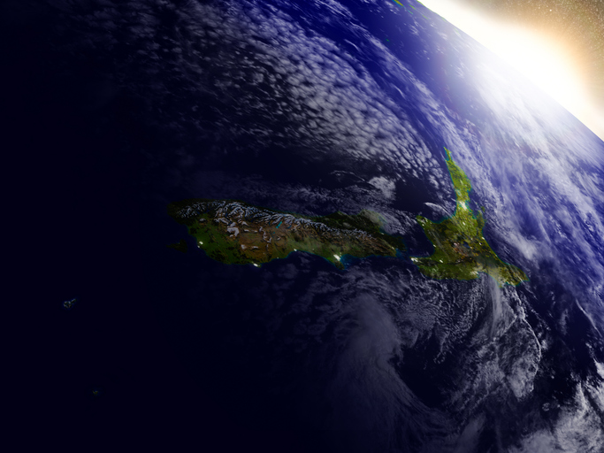
This resource discusses how satellite data can improve New Zealand's food and fibre sector.
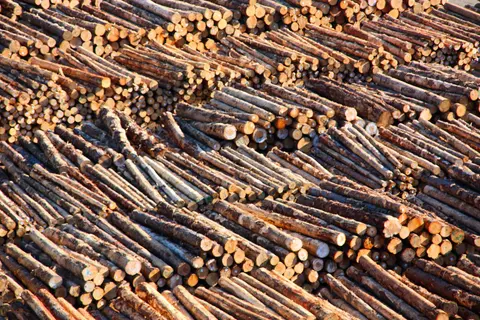
The two ways the ETS counts a forest's carbon, and which applies.
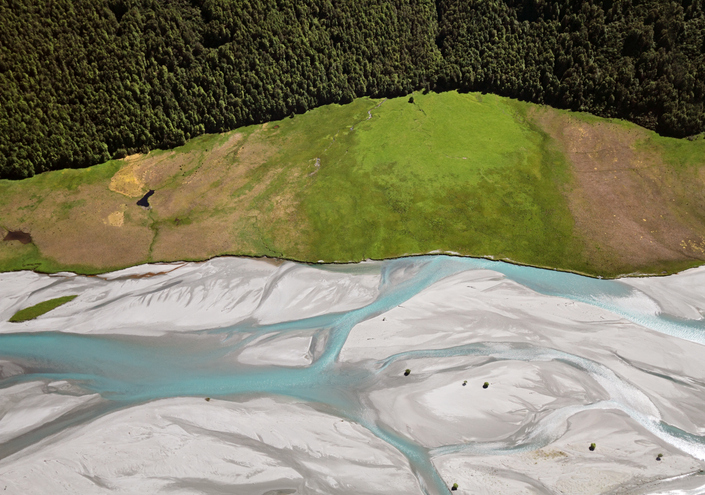
EnviroSatTools is a collection of Google Maps add-ins to help analysts map land and water using satellite imagery and public datasets.
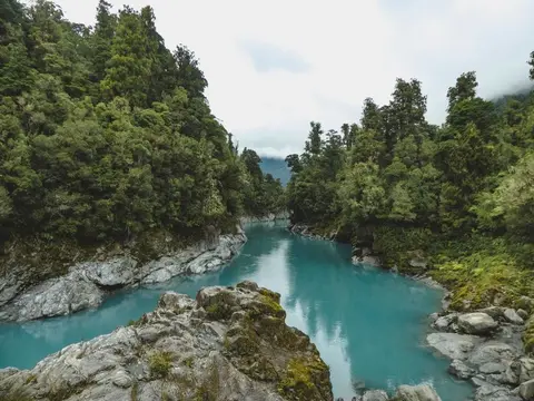
View historic indigenous forest cover in Te Wai Pounamu based on a range of different data and imagery.
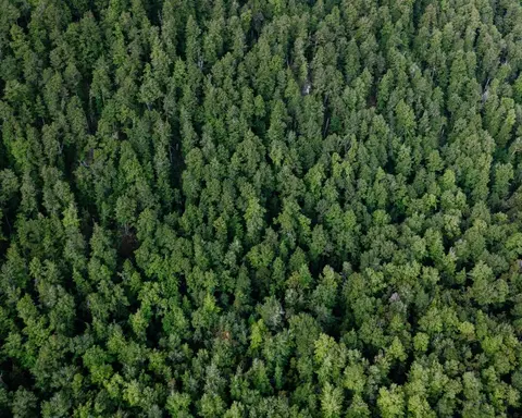
Look up expected carbon stock by forest age for small forests in the ETS.
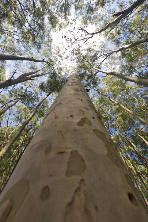
See how suited your whenua is for planting Eucalyptus fastigata as a forestry crop.