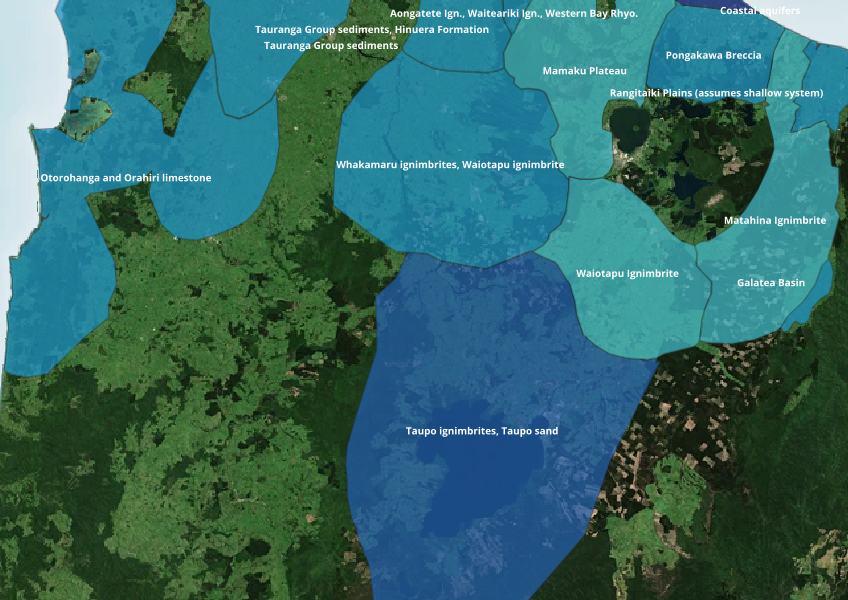
Aquifer locations and extent
Whenua
Water
Find out where you might be able to access groundwater in your rohe.
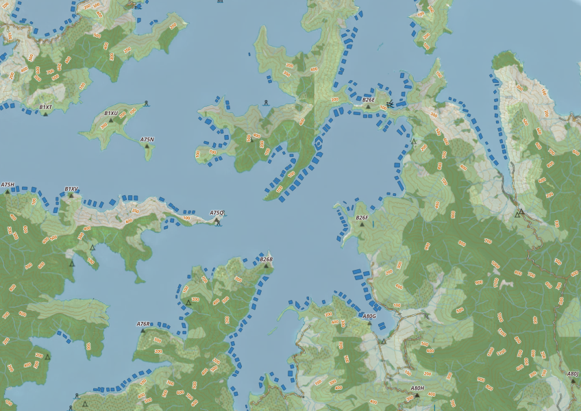
The NZ Marine Farm Polygons map shows areas in the water used for aquatic farming. This tool could be useful for understanding what aquatic cultivation going on in your rohe, but keep in mind that species data is not very detailed and it may not be accurated
Data sourced from Land Information New Zealand and licensed under CC BY 4.0.
Find out where you might be able to access groundwater in your rohe.
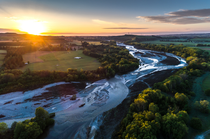
A comprehensive dataset of Aotearoa river catchments that drain to the sea.
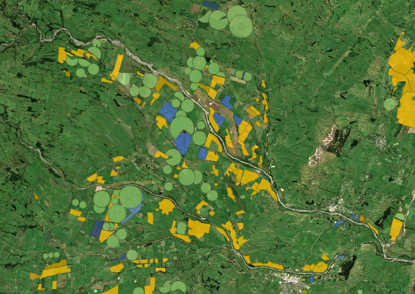

Explore New Zealand’s ocean health, stressors, and need for better marine resource management.

This map shows erosion types and estimated severity across Aotearoa.
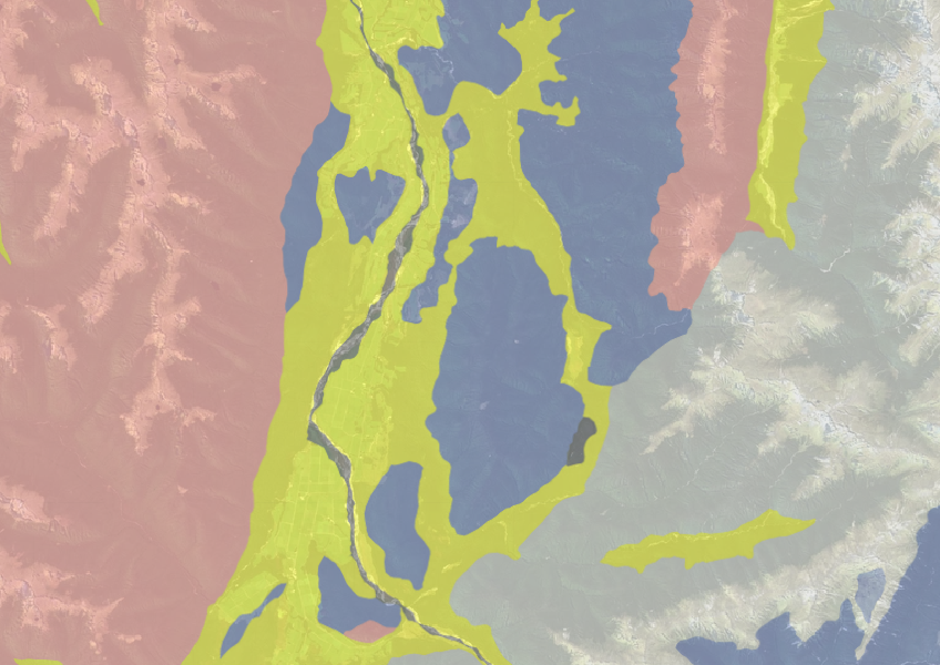
Use the NZLRI rock dataset to understand what type of rock is under your whenua.
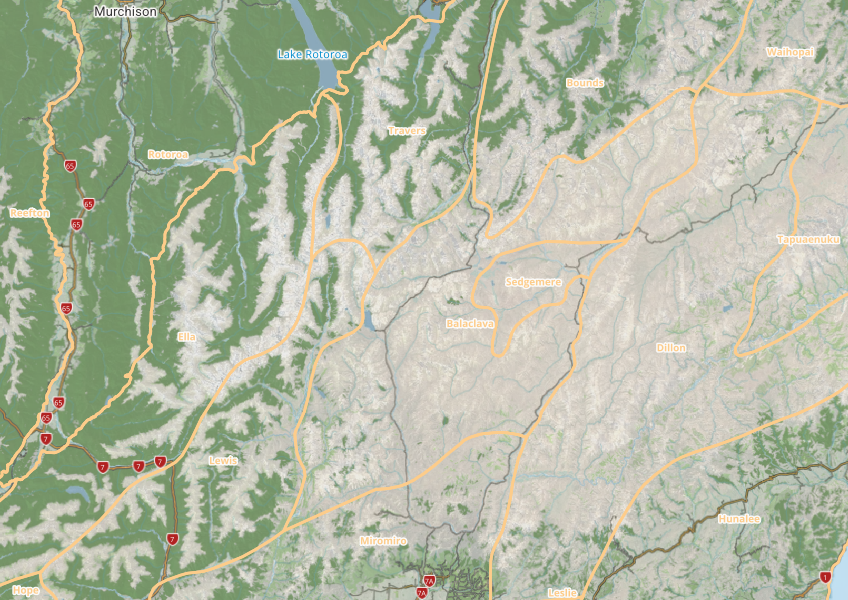
This map shows different areas of Aotearoa that have similar physical and biological characteristics.
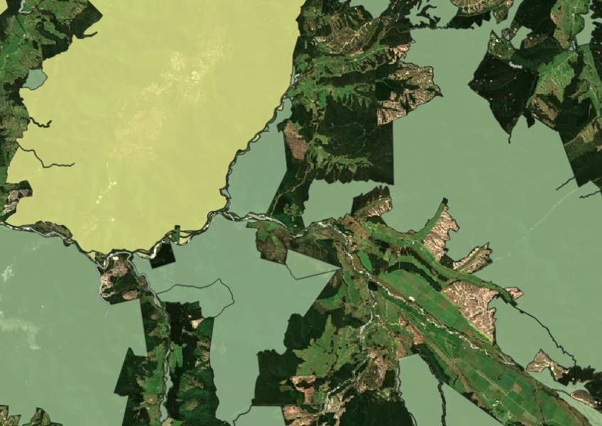
See all public conservation land in Aotearoa including national parks, reserves, and marine protected areas.
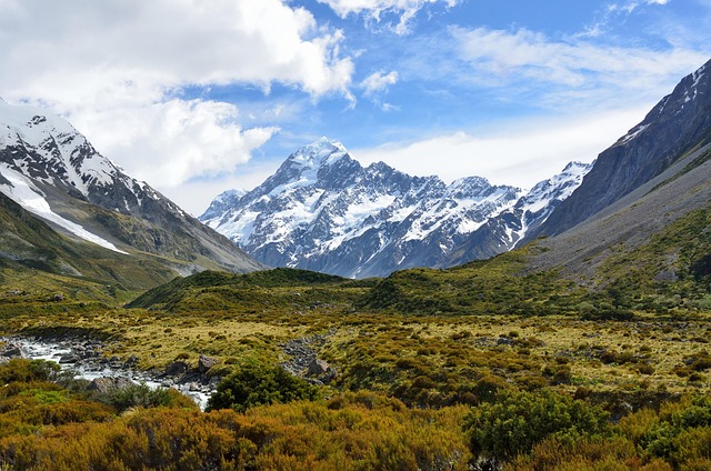
This report classifies Aotearoa ecosystems into 152 types to help with policy and decision-making.
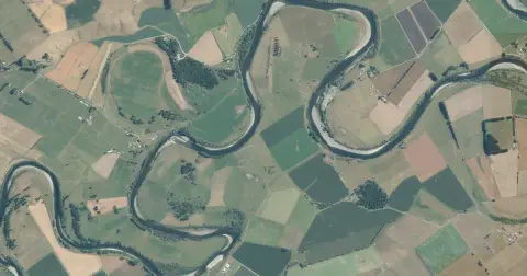
See flood risk maps for your region now and under future climate changes.
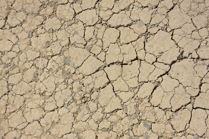
View drought intensity data and charts for your region. Updated monthly.
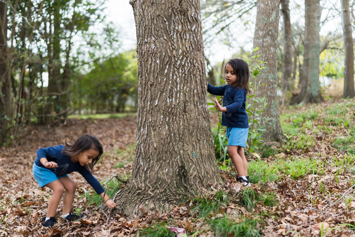
This case study explores what kaitakitanga means for Ngai Tahu and how it helps them to create sustainable food and products.

LUCAS is a national dataset that tracks carbon sequestration and land use change over time.
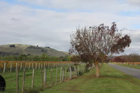
Get high-level soil classification data for Te Ika a Māui to help with land use decisions.
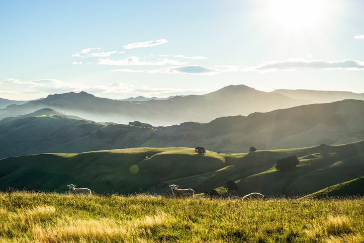
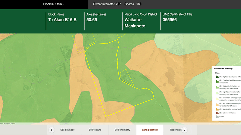
Explore different regulatory, soil, water, and land potential maps for your whenua.

This widely used map estimates the land's potential for agricultural production.
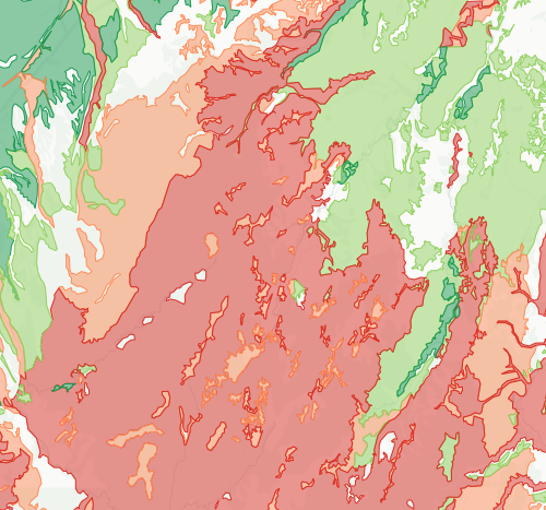
Check how likely nitrogen is to leach through your soil
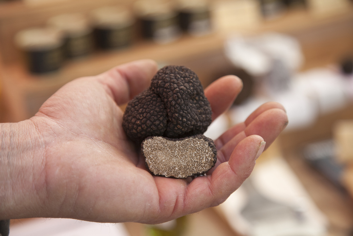
Discover how well suited the whenua in your rohe is to growing truffles.
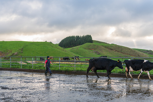
Map showing nitrate-nitrogen leaching from dairy farms, with spatial accuracy at 100m resolution.
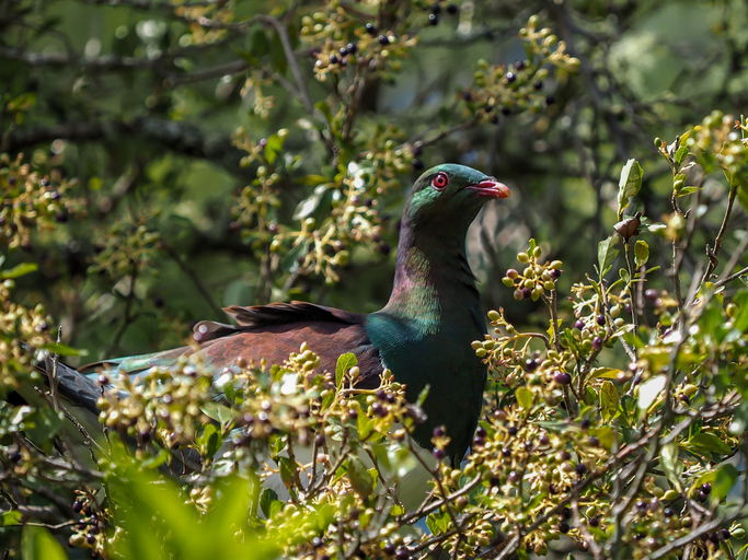
Learn about the Chatham Islands Landscape Restoration Trust's plan to restore Rēkohu/Wharekauri and Rangihauta/Pitt.
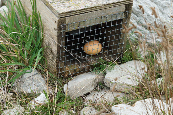
An interactive map of predator control efforts across the motu.