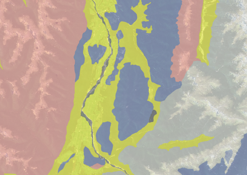
New Zealand Land Resource Inventory (NZLRI) - Rock
Whenua
Planning
Soil
Sustainability
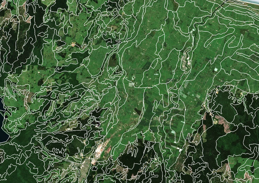
Use the NZLRI rock dataset to understand what type of rock is under your whenua.

The NZLRI Land Use Capability map helps you understand your land's ability to support farming. It looks at five key factors like soil type, slope, and erosion. This information gives you a rating for how well your land can sustain agricultural production.
You can use this map to choose the right crops for your soil and landscape. However, it focuses mainly on agriculture and does not track changes over time. While it gives a good estimate, improving your land's capability might be possible by fixing issues like erosion or soil acidity.
Licensed under Creative Commons Attribution 4.0 International.
Use the NZLRI rock dataset to understand what type of rock is under your whenua.
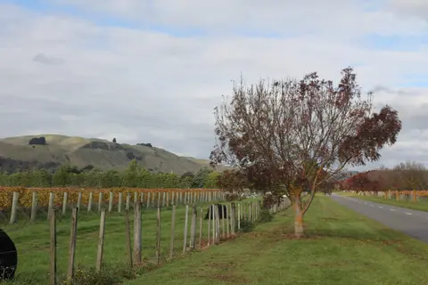
Get high-level soil classification data for Te Ika a Māui to help with land use decisions.

Explore how land use affects soil and water quality across New Zealand catchments.

This map shows erosion types and estimated severity across Aotearoa.
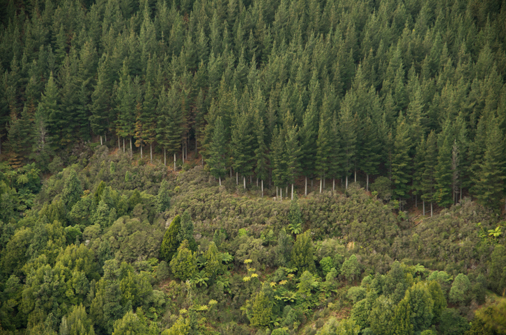
Explore how suited your whenua is for planting radiata pine as a forestry crop.
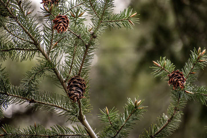
Check how suited your whenua is for planting Douglas fir as a forestry crop.
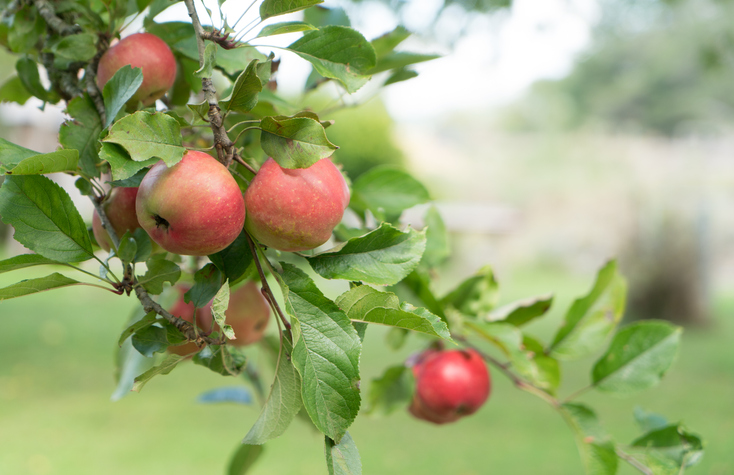
See how well suited the whenua in your rohe is to growing apples.
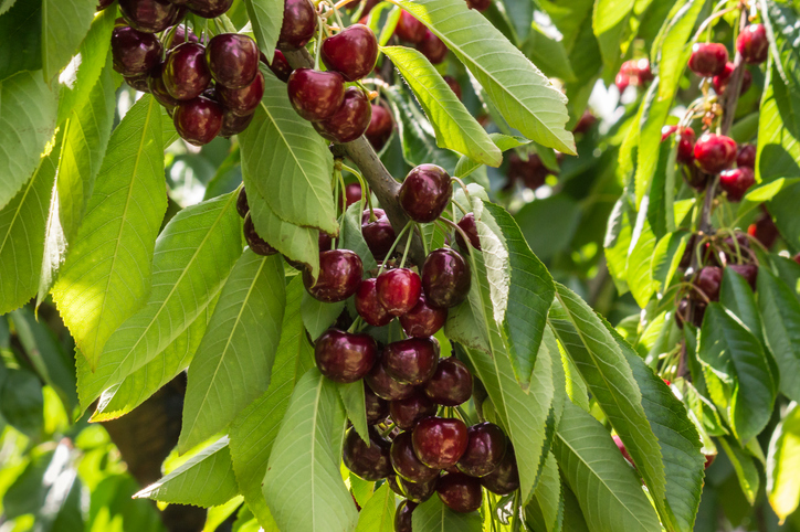
Explore how well suited the whenua in your rohe is to growing cherries.
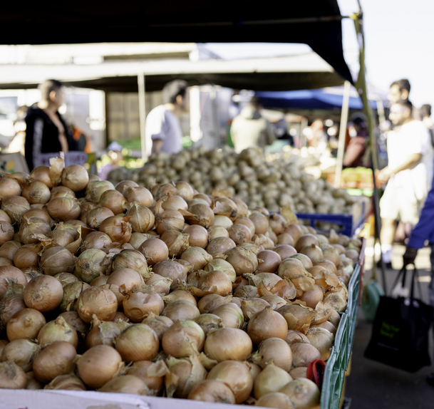
Explore how much onions the whenua in your rohe could produce each year.
These reports break down Aotearoa's greenhouse gas emissions by sector and type.
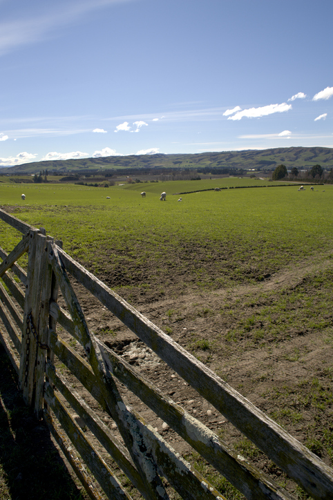
This report explores climate change impacts on New Zealand agriculture.

Webinar on NZ land use classes and the new Land Resources Portal for maps, guides, and data.
Get high-level soil classification data for Te Wai Pounamu to help with land use decisions.
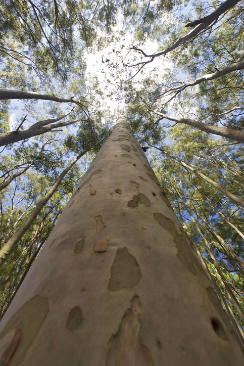
See how suited your whenua is for planting Eucalyptus fastigata as a forestry crop.
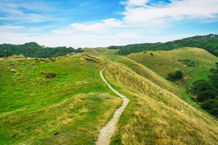
This study models soil loss, which is a major issue for Aotearoa farms and the environment.
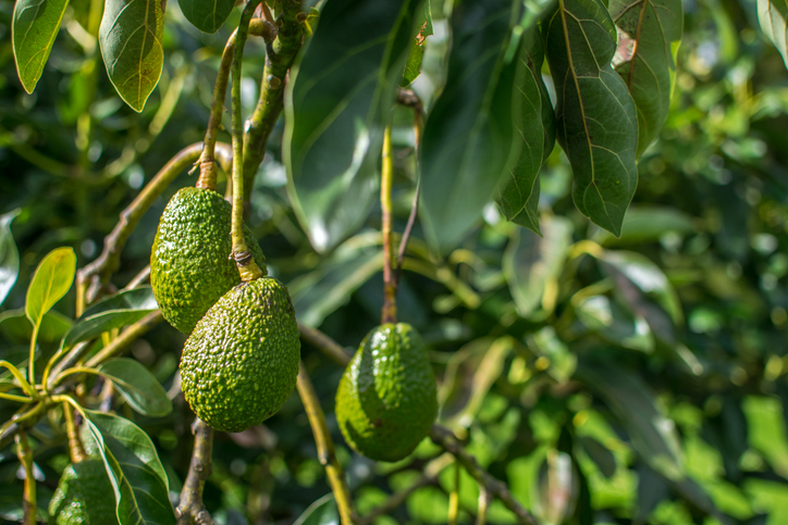
Find out how well suited the whenua in your rohe is to growing avocados.
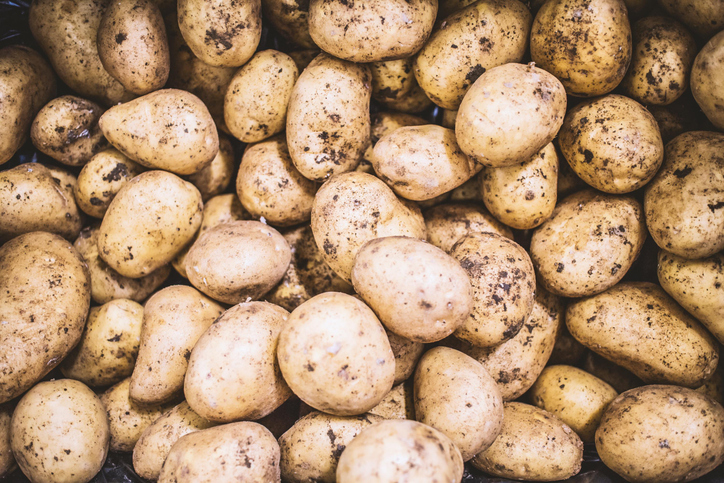
Find out how well suited the whenua in your rohe is to growing potatoes.
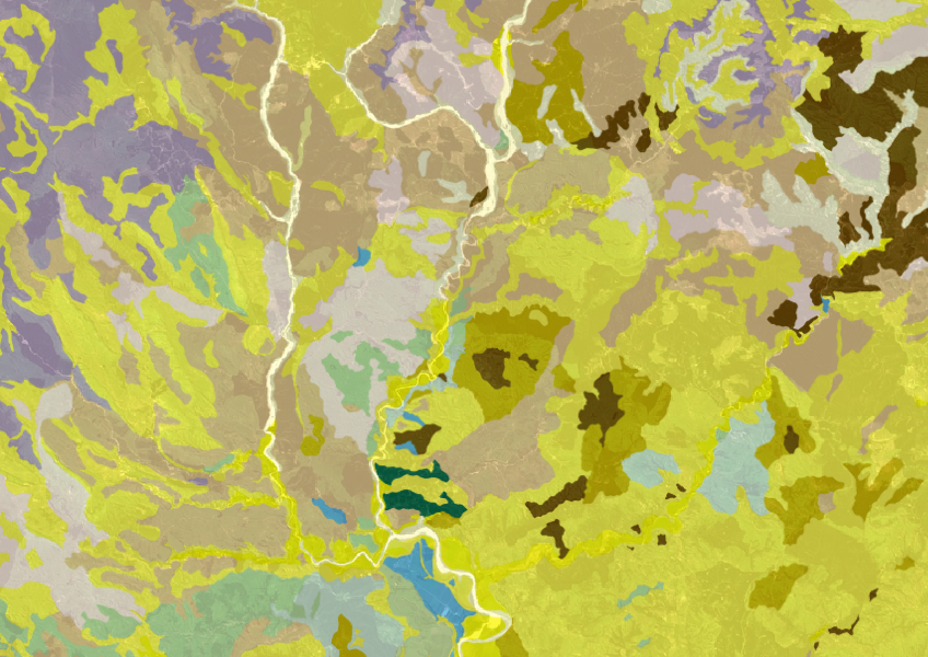
Get a better understanding of soil types on your whenua and across Aotearoa.
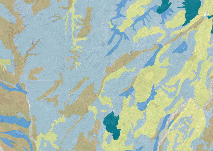
Explore soil drainage classes for land use and growth insights.
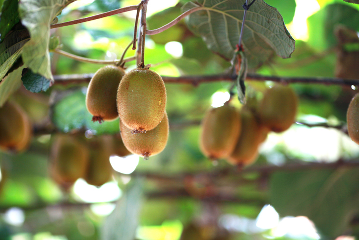
Learn how well suited the whenua in your rohe is to growing kiwifruit.
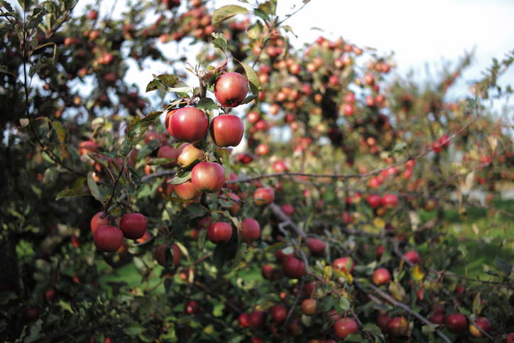
Learn how much apples the whenua in your rohe could produce each year.
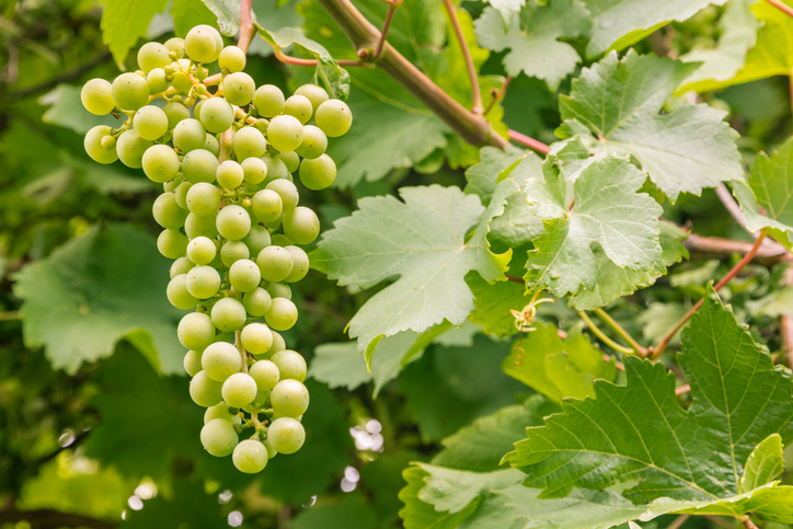
Compare how well suited the whenua in your rohe is to growing Sauvignon blanc grapes.
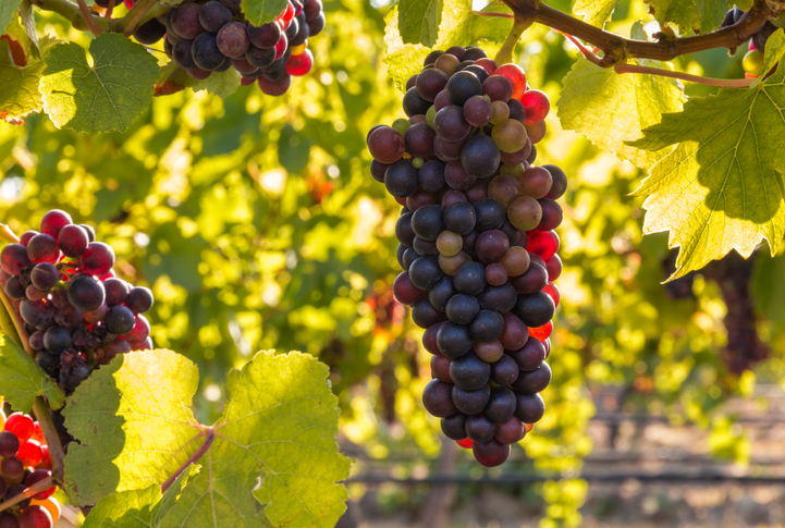
Check how well suited the whenua in your rohe is to growing Pinot noir grapes.