Freshwater Scenario Builder
Whenua
On-farm actions
Water
Model how land use changes might influence water quality in your catchment.
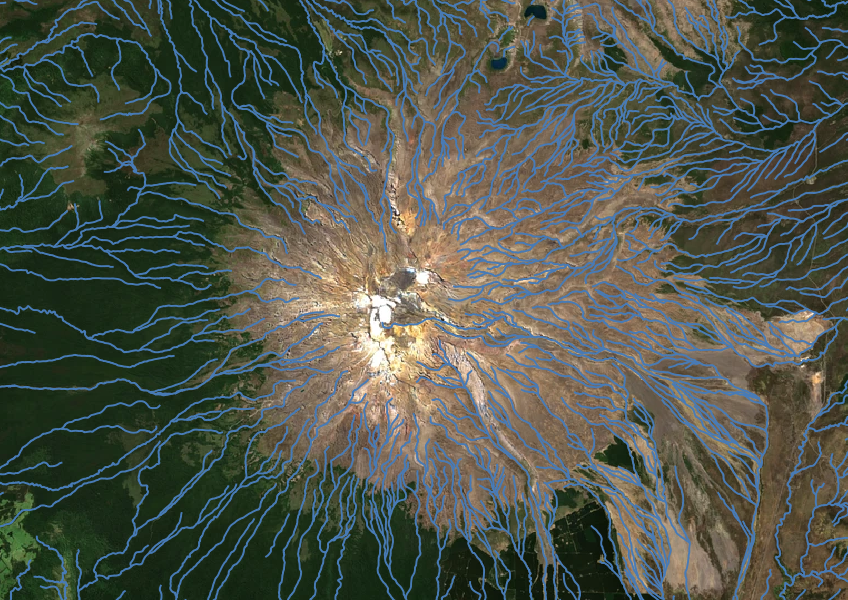
The NZ River Name Lines dataset shows named and unnamed river lines across the motu. Knowing where these rivers are can help you understand and make better decisions about land use in your catchment, especially if your activities might affect the environment downstream.
The dataset is based on maps from December 2018, so the river names and locations are approximate. You'll need a GIS tool like QGIS to use the data.
Data sourced from Land Information New Zealand (LINZ)and licensed under CC BY 4.0.
Model how land use changes might influence water quality in your catchment.
Compare E. coli levels in your local rivers against national bottom lines.
Compare nitrogen and phosphorus levels in your rivers against national bottom lines.
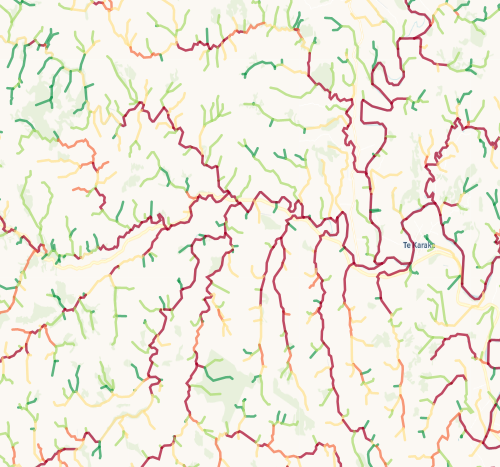
Check which streams on your whenua are most vulnerable to bank erosion.
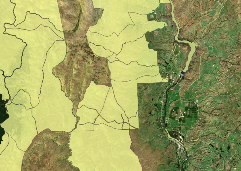
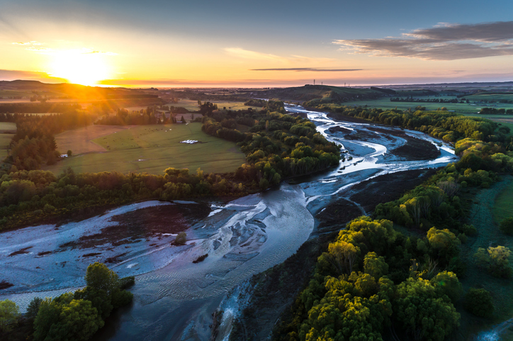
A comprehensive dataset of Aotearoa river catchments that drain to the sea.
Find data on how climate change affects water in Aotearoa’s rivers and groundwater.
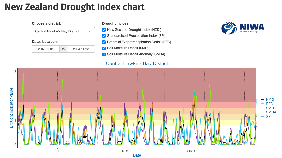
Monitor drought in New Zealand using key indicators and climate data. Access maps and downloads.
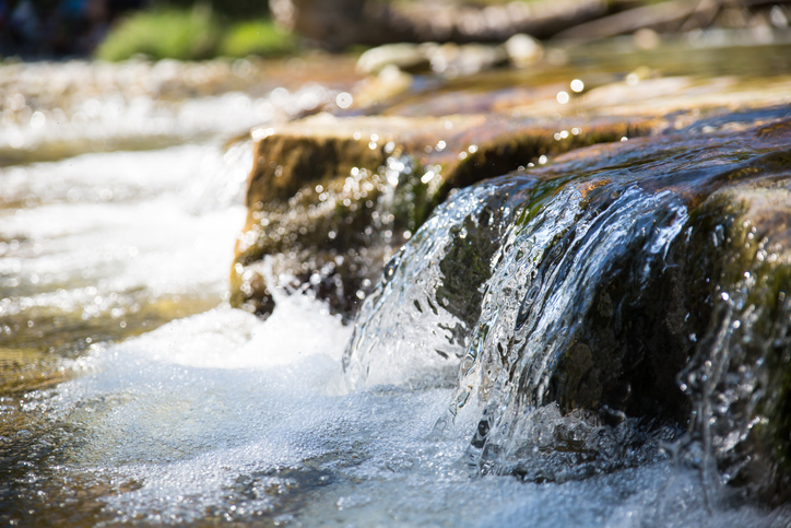
This research examines how climate change is likely to affect river flows in Aotearoa.
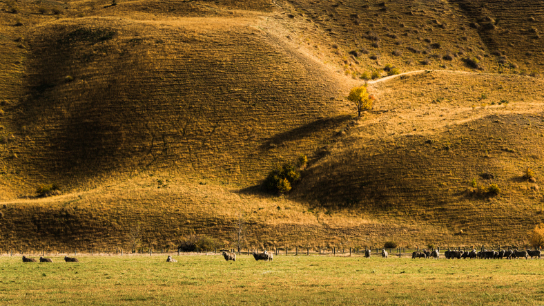
View maps showing average soil moisture deficit onset and termination dates across New Zealand.
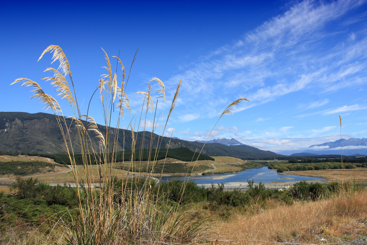
Factsheets about river catchments in Murihiku | Southland.
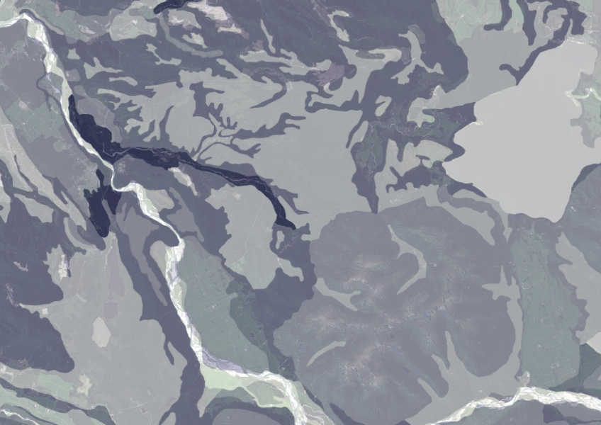
Data on gravel content in topsoil across New Zealand, useful for land use planning.

This map shows erosion types and estimated severity across Aotearoa.

Explore coastal flood maps to assess the potential impacts of sea-level rise in your rohe.
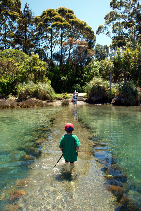
See how land-use and farm practice changes on your land can impact water quality across the catchment.
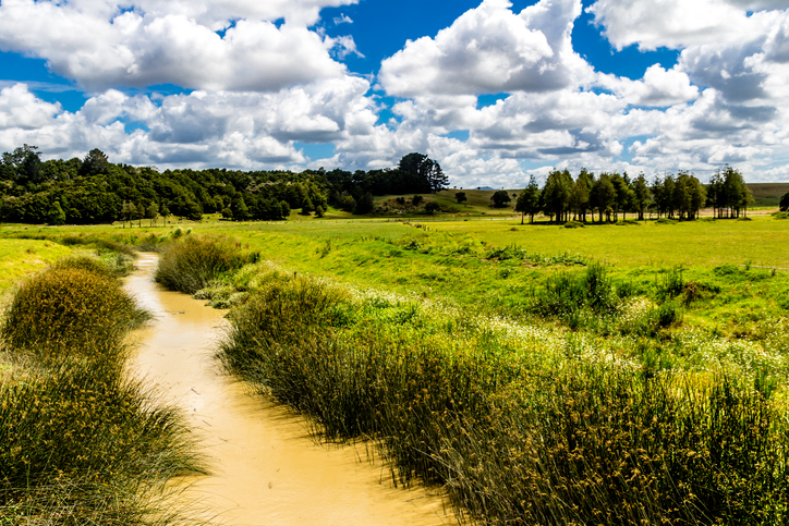
Check the E. coli runoff risk score for land in your rohe or catchment.
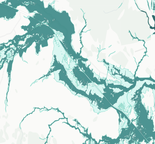
See river flood hazard zones near your Whangārei whenua
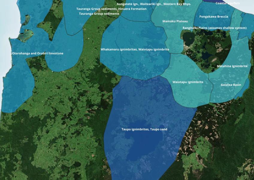
Find out where you might be able to access groundwater in your rohe.
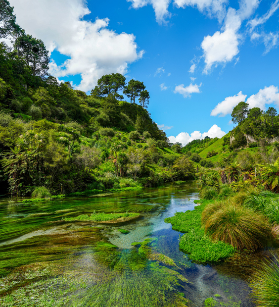
Read the report behind Aotearoa's freshwater E. coli, sediment and nutrient maps.
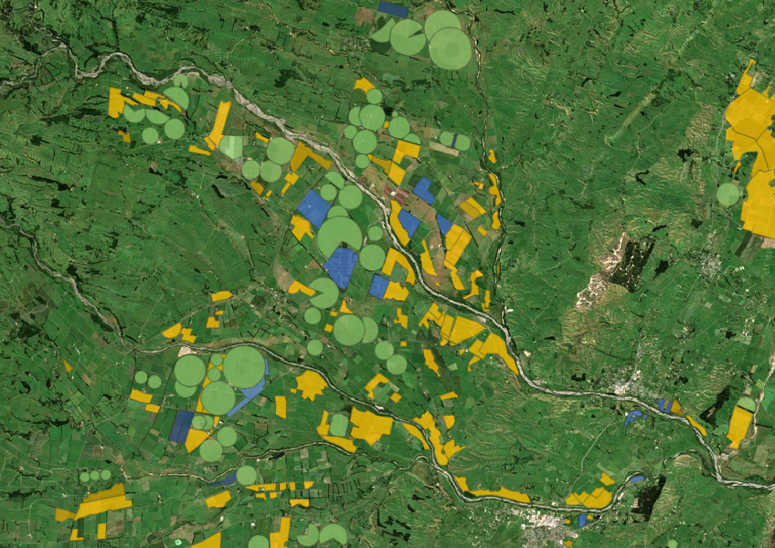
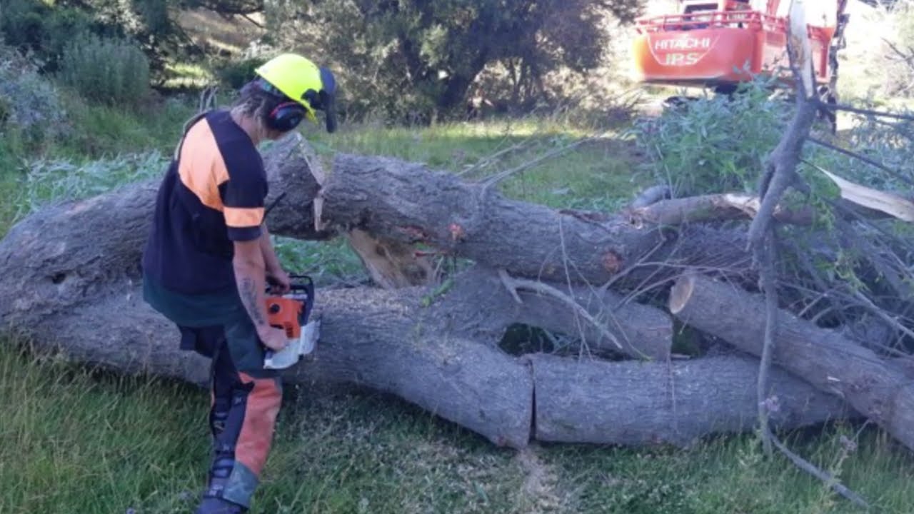
See how over 40 farms have worked together to improve the Wainuioru catchment.

Explore how land use affects soil and water quality across New Zealand catchments.