
New Zealand Land Resource Inventory (NZLRI) - Erosion and Severity
Whenua
Erosion
Planning
Risk
Sustainability
This map shows erosion types and estimated severity across Aotearoa.
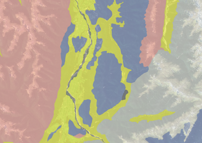
This dataset from Manaaki Whenua estimates what type of rock is likely to be under whenua in your rohe. This can be important for planning and land use decision-making.
It's important to note that while this dataset can help you get an idea of what's in your rohe, it hasn't been fully groundtruthed, so may not be detailed enough to be conclusive at a farm scale.
Data sourced from Manaaki Whenua Landcare Research licensed under CC BY 4.0.
This map shows erosion types and estimated severity across Aotearoa.
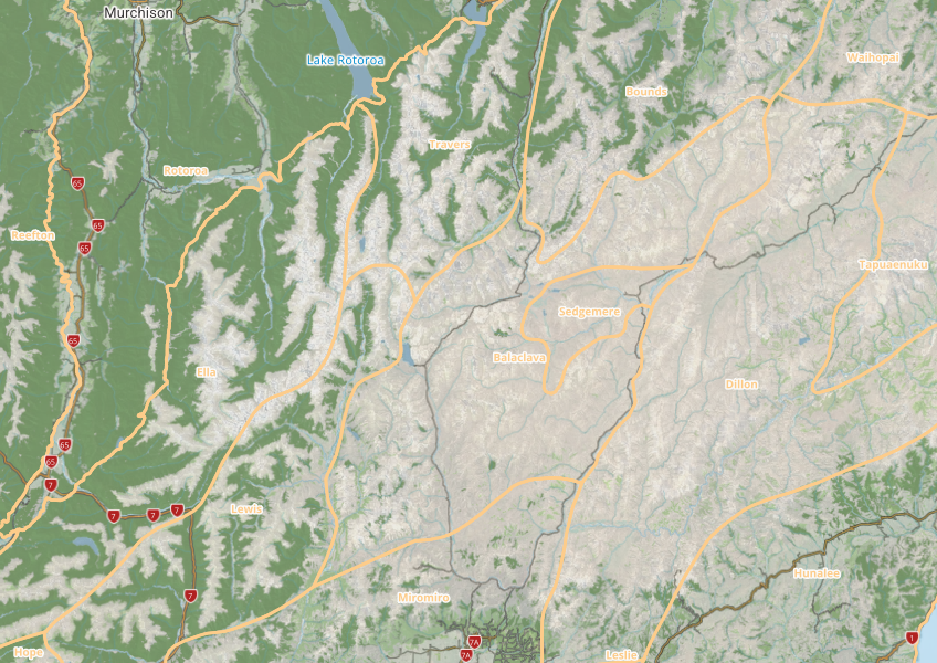
This map shows different areas of Aotearoa that have similar physical and biological characteristics.
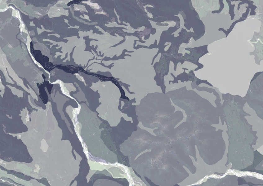
Data on gravel content in topsoil across New Zealand, useful for land use planning.
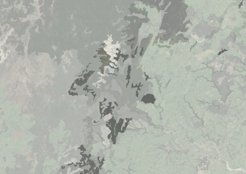
Understand how rocky your whenua is so you can make better land use decisions.

This widely used map estimates the land's potential for agricultural production.
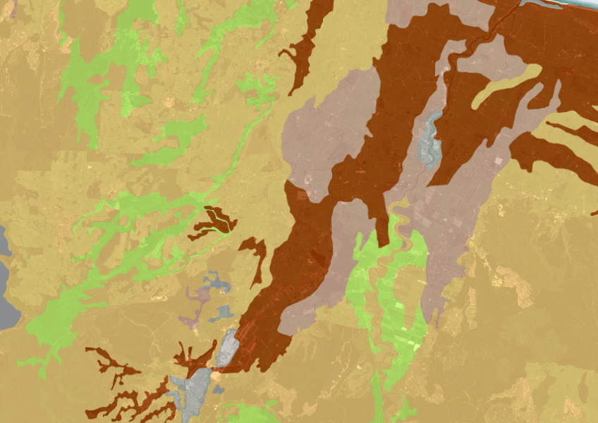
A dataset that estimates soil temperature across the motu.
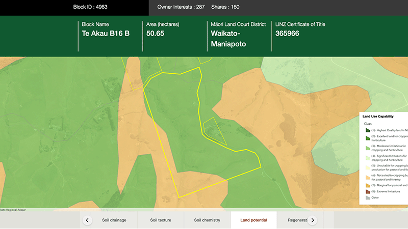
Explore different regulatory, soil, water, and land potential maps for your whenua.
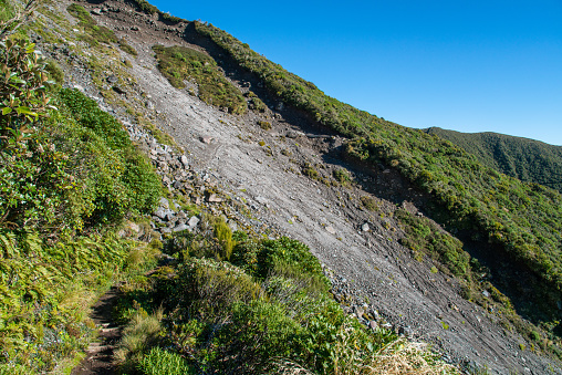
Find links to the main models used to estimate erosion and sediment in Aotearoa.
Learn how soil carbon impacts climate change and things you can do on your farm to offset your emissions.
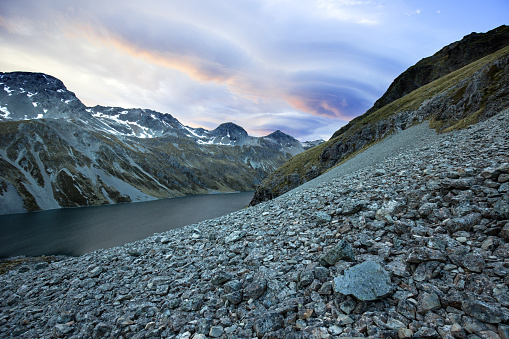
Find out how climate change could shift sediment loads in your local rivers.
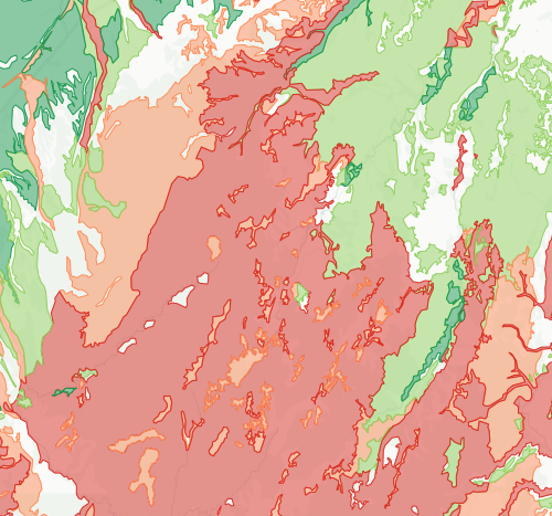
Check how likely nitrogen is to leach through your soil
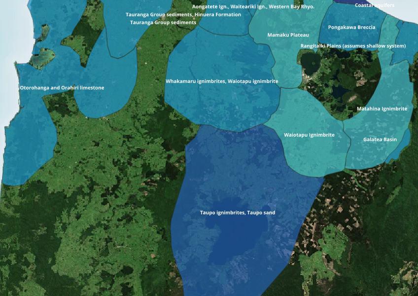
Find out where you might be able to access groundwater in your rohe.
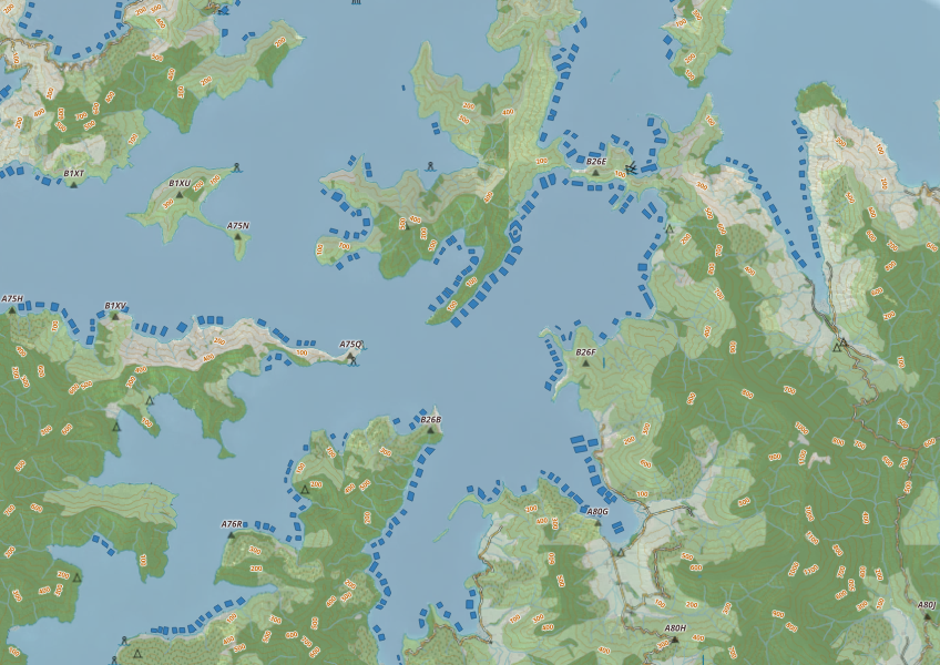
This map shows areas in Aotearoa that are used for aquatic farming.
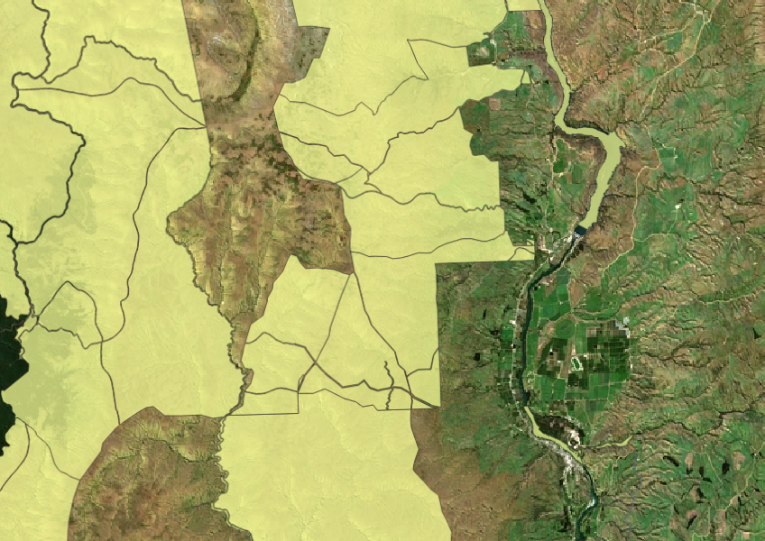

Check how well suited the whenua in your rohe is to producing mānuka honey.
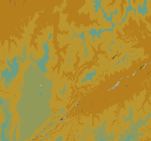
Check the historic average annual temperature for your whenua.
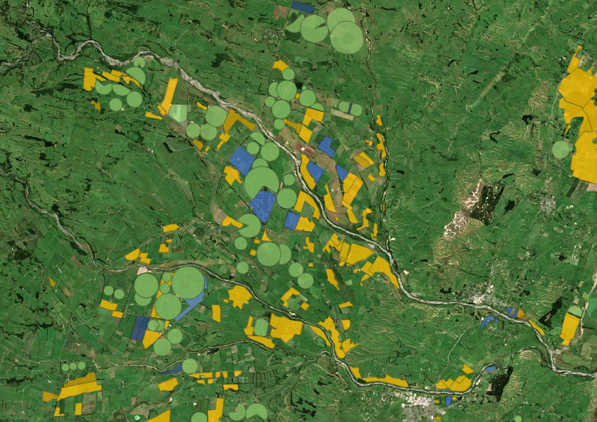
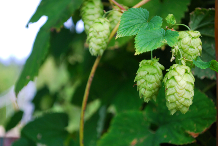
Discover how well suited the whenua in your rohe is to growing hops.
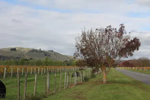
Get high-level soil classification data for Te Ika a Māui to help with land use decisions.

See how well suited the whenua in your rohe is to growing peas.
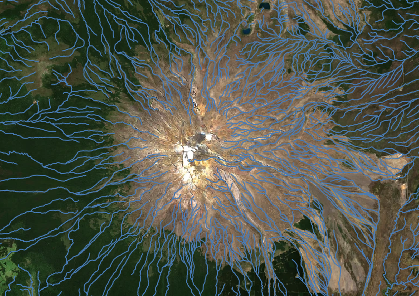
Download a dataset of named and unnamed river lines data for use in your analysis.