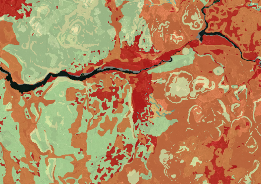
Indigenous vegetation cover remaining and protection
Whenua
Biodiversity
Conservation
Sustainability
Map showing our remaining indigenous vegetation and its protection status..
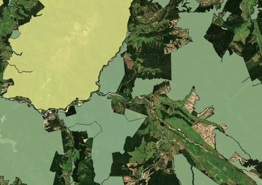
This dataset is the record of all public conservation land (PCL) managed under the Conservation or Reserves Acts.
The dataset is maintained by the Department of Conservation (DOC) and Land Information New Zealand (LINZ) on a central database and contains information about different types of protected areas, like national parks, reserves, and marine protected areas.
Sourced from Department of Conservation and licensed under CC BY 4.0.
Map showing our remaining indigenous vegetation and its protection status..
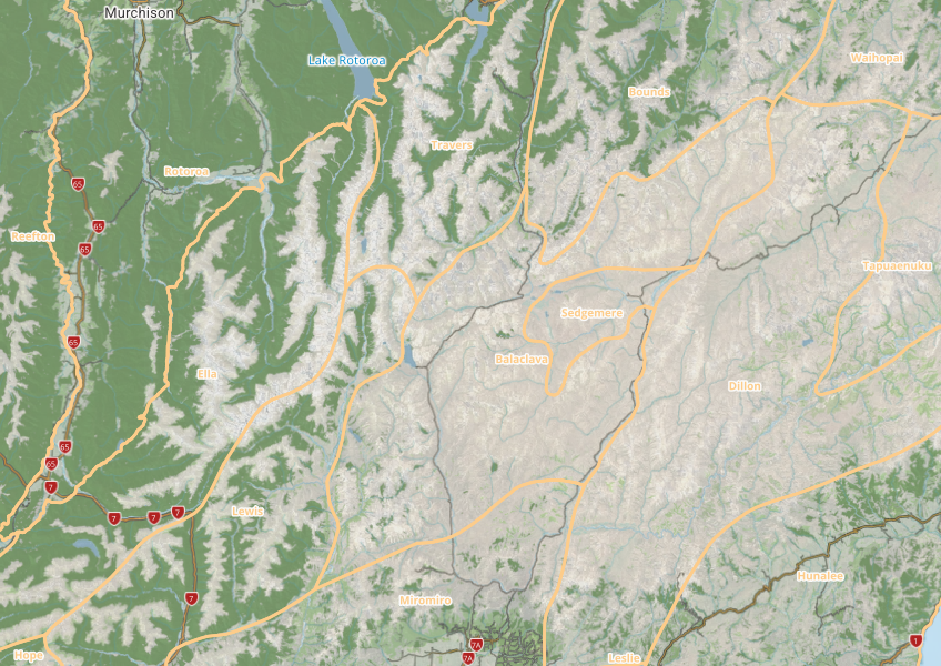
This map shows different areas of Aotearoa that have similar physical and biological characteristics.
Learn about New Zealand's biodiversity strategy and the importance of conservation for our future.

Explore New Zealand’s ocean health, stressors, and need for better marine resource management.
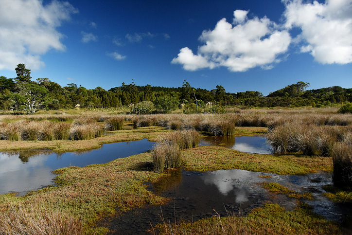
Explore and download spatial data related to Ngā Whenua Rāhui protected areas.
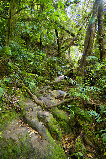
Explore diverse plant communities in Aotearoa, from forests to wetlands, and learn how they interact.
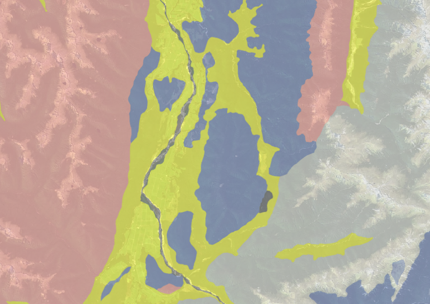
Use the NZLRI rock dataset to understand what type of rock is under your whenua.
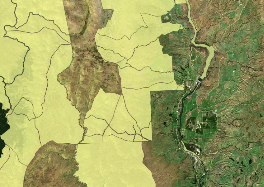

See land cover in Aotearoa and how it has changed over time.
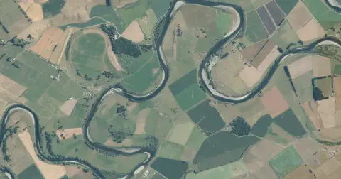
See flood risk maps for your region now and under future climate changes.
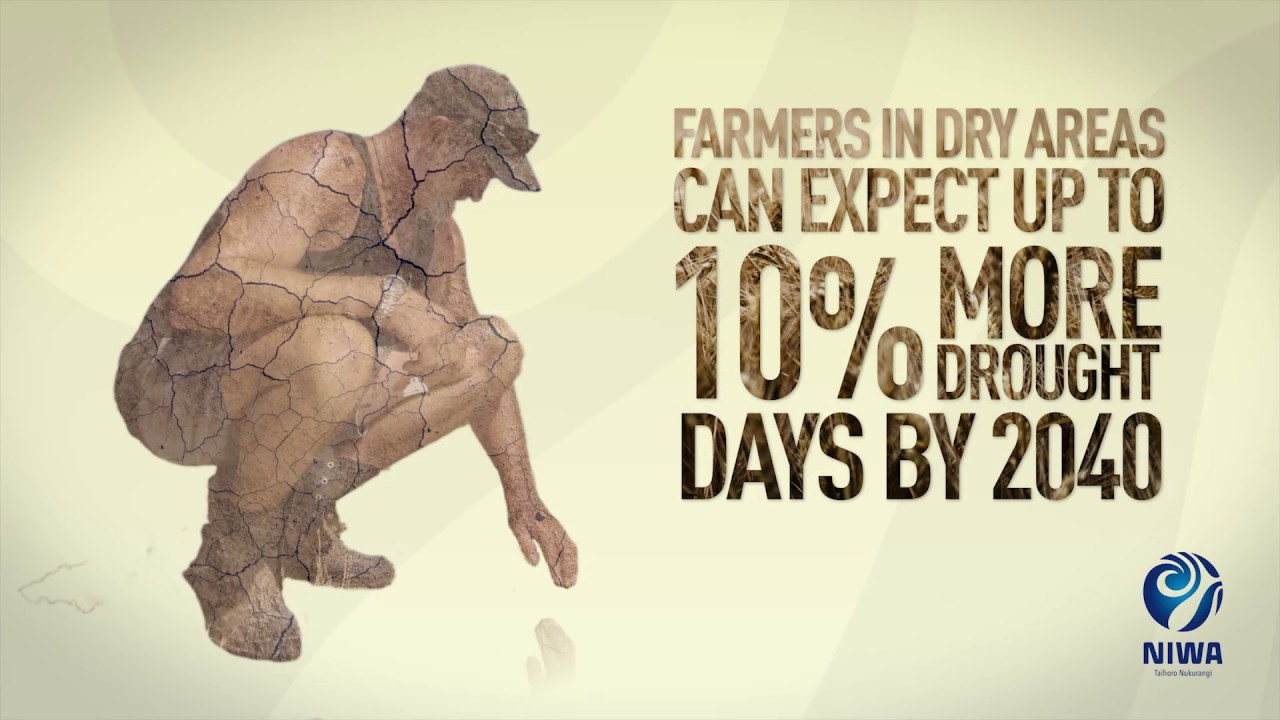
Learn about climate change in Aotearoa and how science helps us adapt.
Get guidance about how to search for and request official copies of Māori land records.
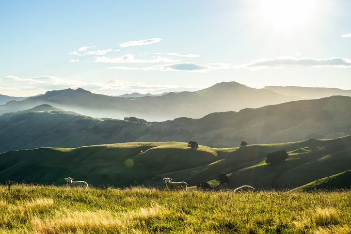
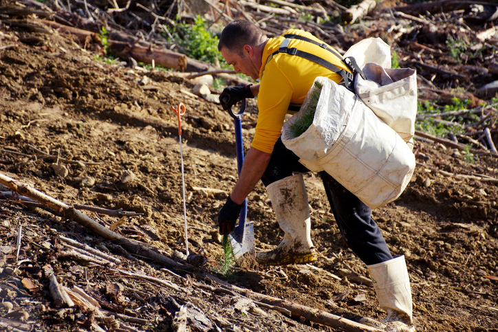
Get practical guidance for managing soil erosion.
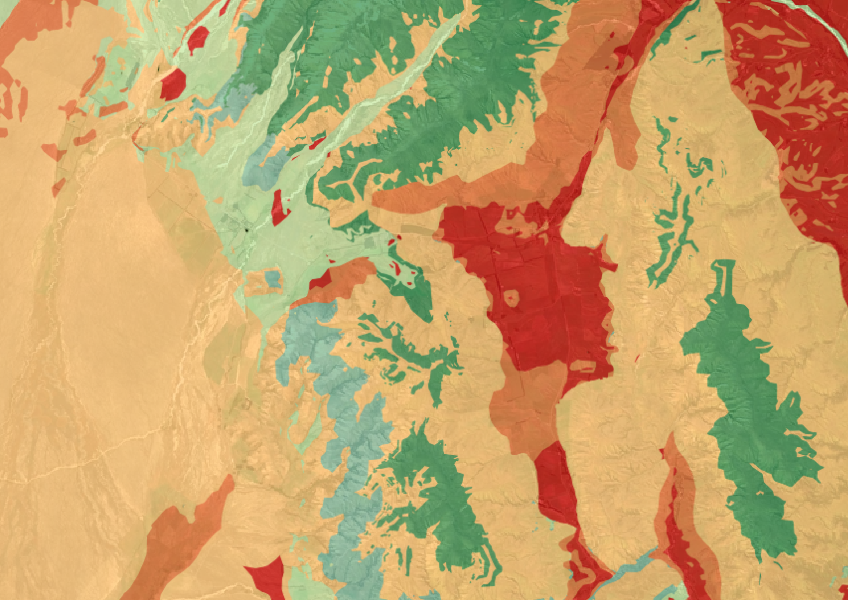
The Threatened Environments Classification can help you better understand the health of your local ecosystems.
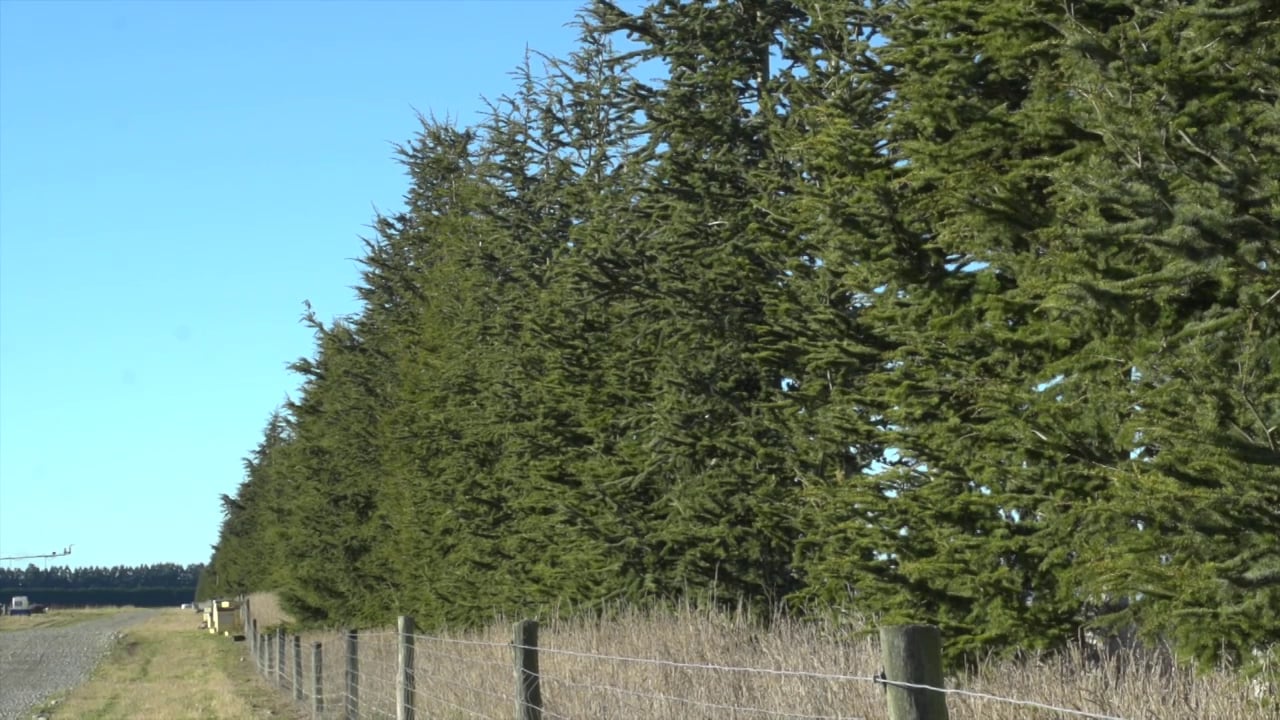
Find out how shelter plantings are improving soil conservation on a Canterbury farm.
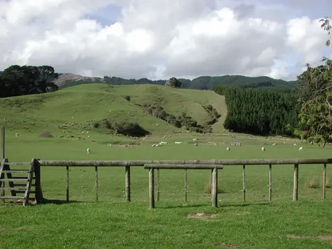
Find out how to access information about Māori land and its ownership and governance.
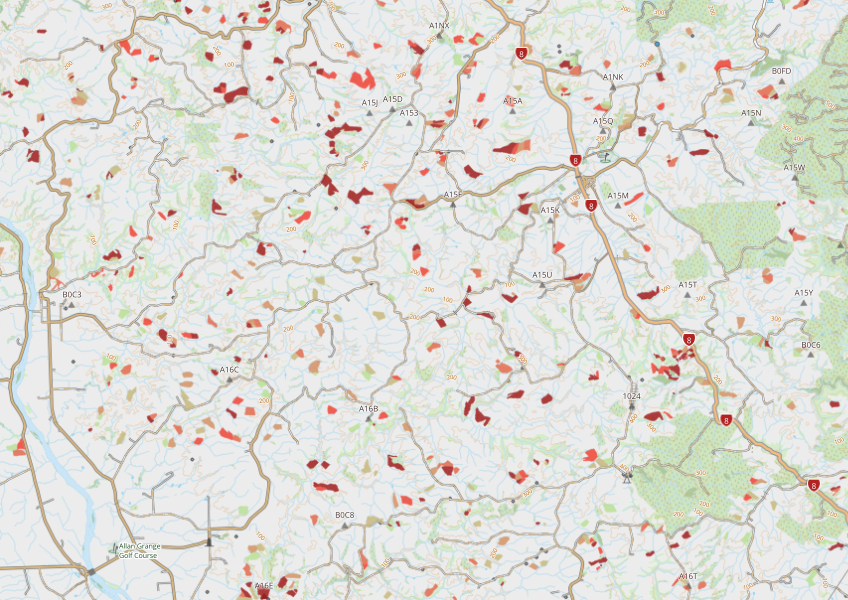
This dataset maps winter forage areas in New Zealand's hill country.
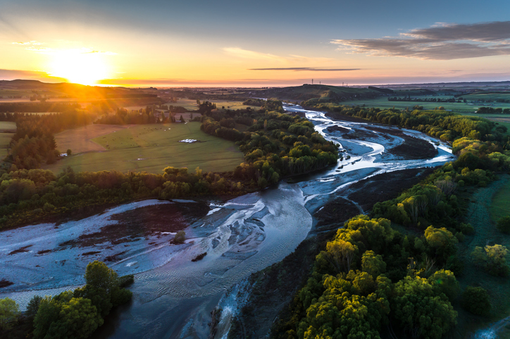
A comprehensive dataset of Aotearoa river catchments that drain to the sea.
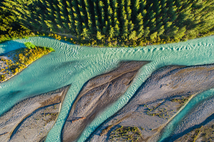
This add-in for Google Earth can help you track short-term land changes using satellite imagery and public datasets.
A comprehensive dataset that tracks how rural land is used across Aotearoa.

This map shows erosion types and estimated severity across Aotearoa.