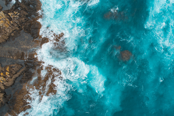
EnviroSatTools: Coastal Module
Whenua
Conservation
Sustainability
This add-in for Google Earth can help you analyse coastal changes using satellite imagery and public datasets.
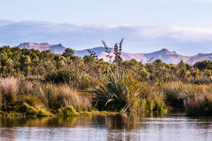
EnviroSatTools: Wetlands Module is a Google Earth add-in that can help identify and map wetlands using satellite imagery and public datasets. It is intended for users with some technical and local knowledge about wetlands.
This add-in for Google Earth can help you analyse coastal changes using satellite imagery and public datasets.
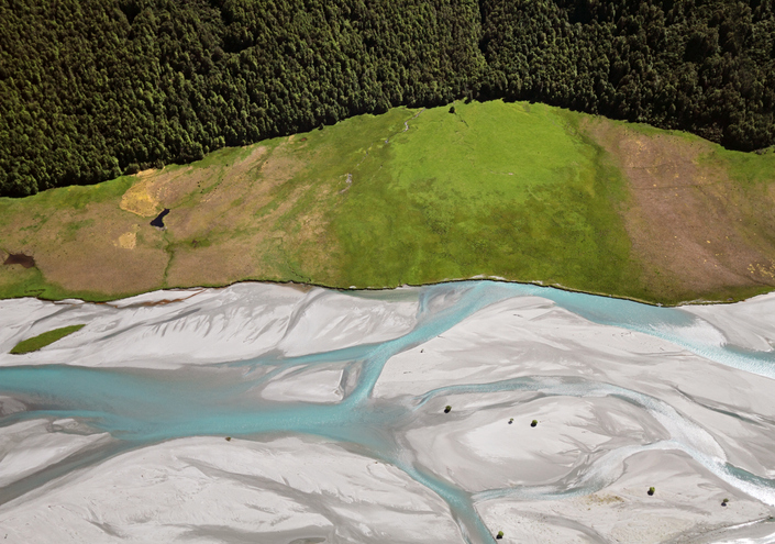
EnviroSatTools is a collection of Google Maps add-ins to help analysts map land and water using satellite imagery and public datasets.
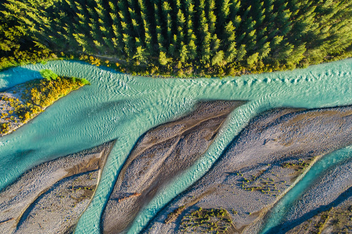
This add-in for Google Earth can help you track short-term land changes using satellite imagery and public datasets.
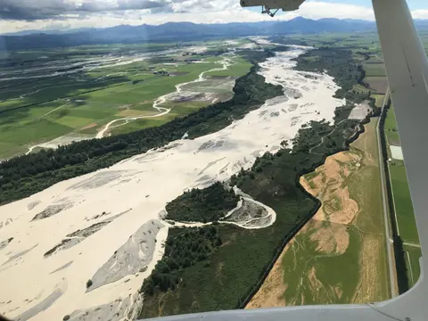
This add-in for Google Earth can help you map flooding using satellite imagery and public datasets.
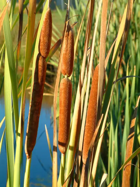
An interactive key to identify different wetlands that can be found in Aotearoa.
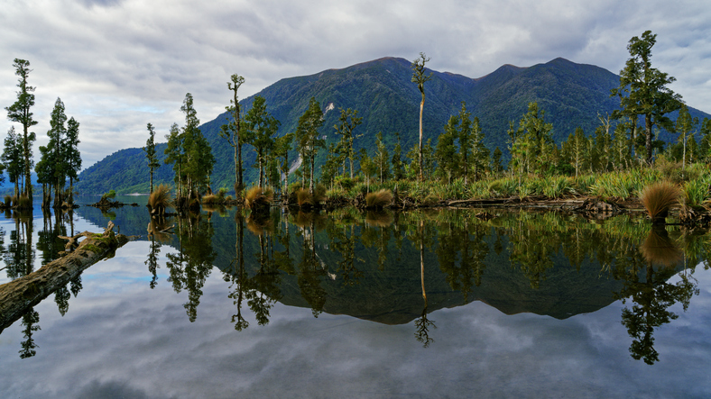
Learn how to identify wetlands on your whenua.
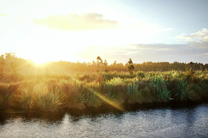
Learn how to plant and restore wetlands in New Zealand for better ecosystems.
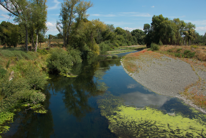
Learn how to protect waterbodies and wetlands for healthier whenua.
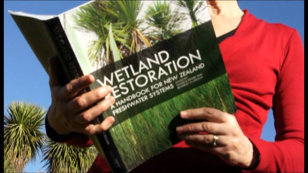
A guide to restoring New Zealand's freshwater wetlands with practical tips and beautiful images.
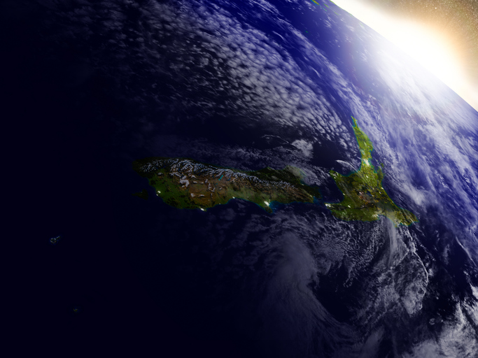
This resource discusses how satellite data can improve New Zealand's food and fibre sector.
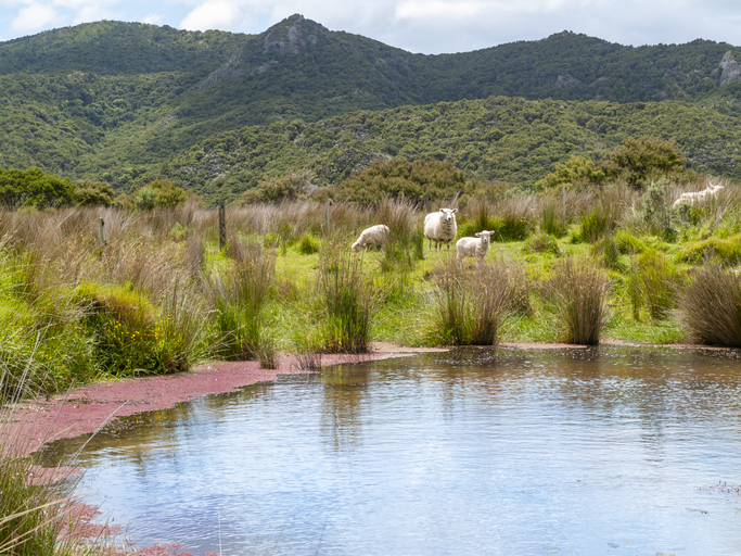
An online learning module that explains everything you need to know about stock water management.
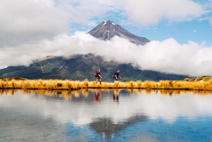
Learn about rules for activities near Taranaki wetlands.
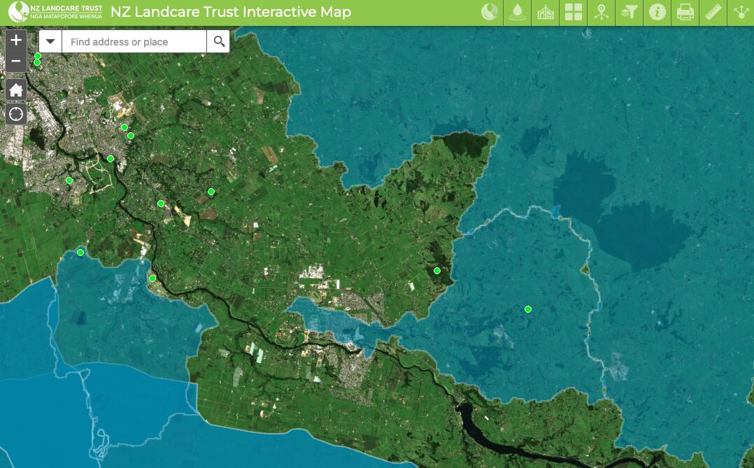
Find catchment and environmental groups and water quality data with this interactive map.
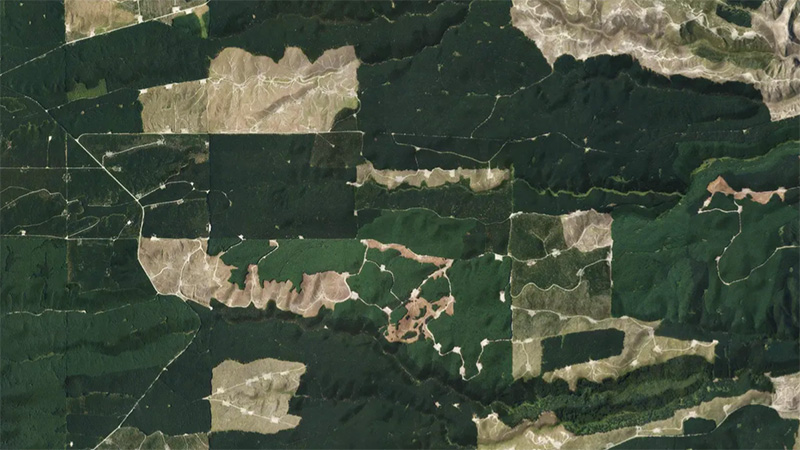
This add-in for Google Earth can help you monitor and analyse forest changes using satellite imagery and public datasets.
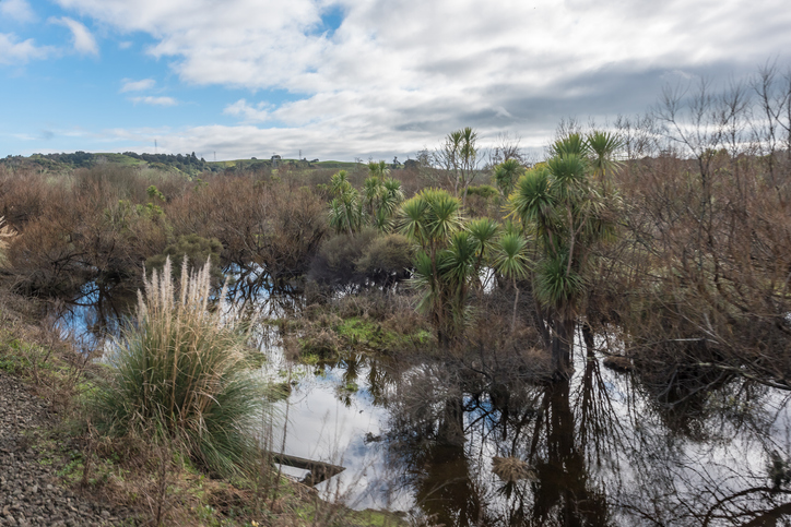
Learn how constructed wetlands treat farm runoff by removing sediment, nitrogen, and phosphorus.
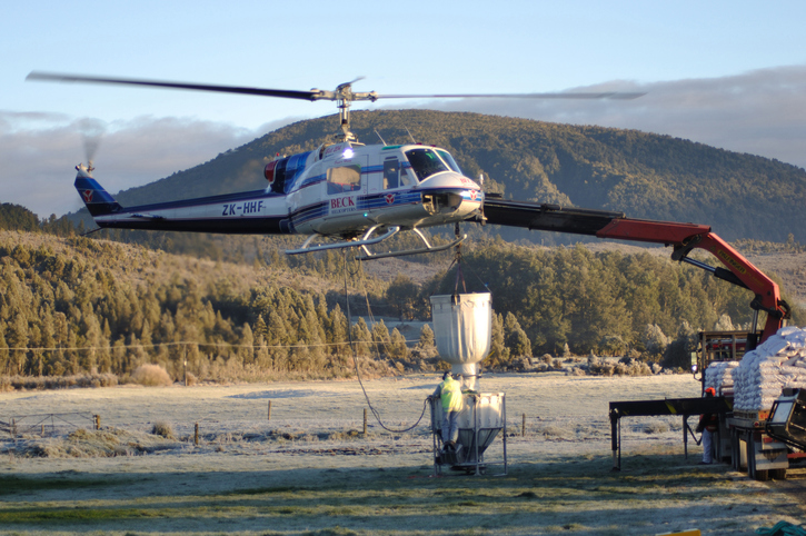
Practical predator control methods for wetlands and waterways on farms.
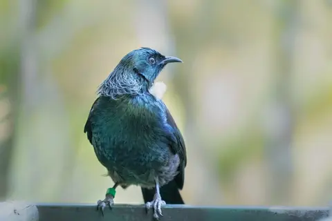
Plan for biodiversity as part of your whole farm plan.
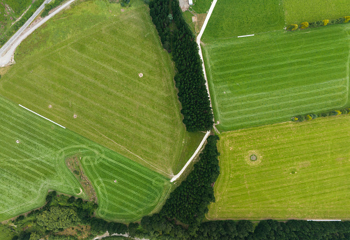
A practical guide to building biodiversity into your farm plan
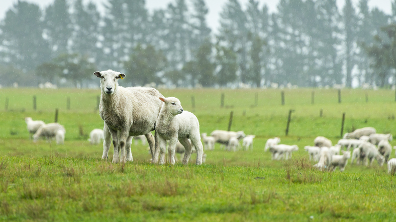
The SPI measures drought and wet conditions using recent rainfall data.
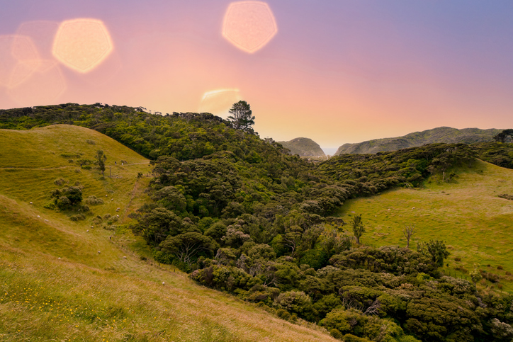
Learn about strategies and techniques for supporting and managing native biodiversity on your farm.
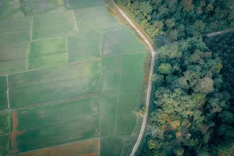
Learn to map your farm with easy webinars on using Google My Maps for project planning.
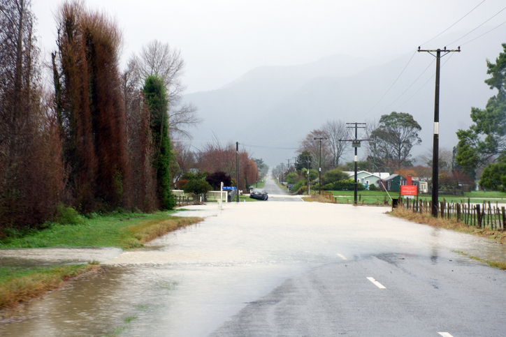
Explore how climate change affects water, health, and wellbeing with this interactive tool.