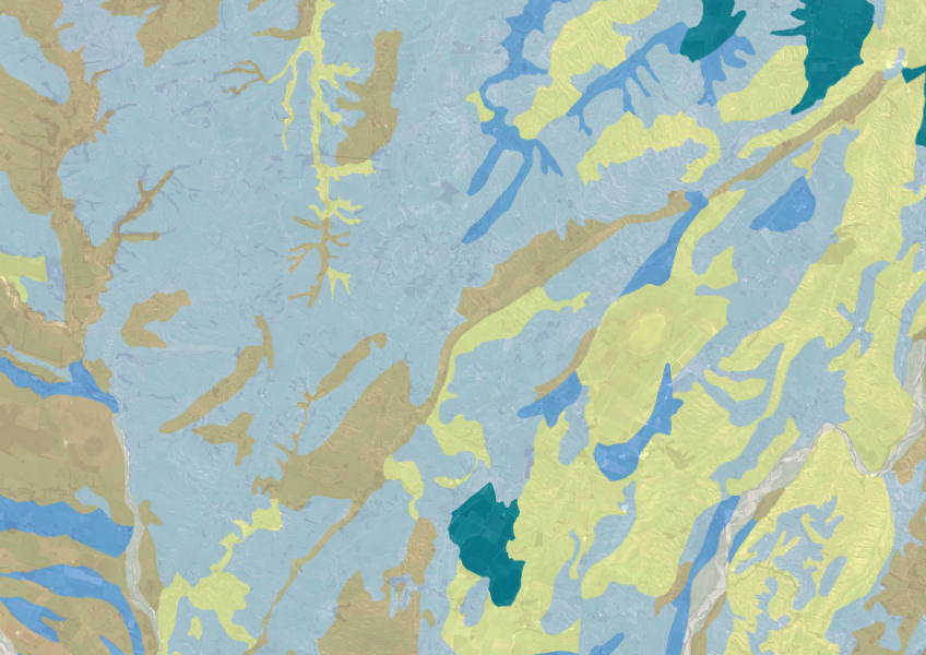
Fundamental Soils Layer (FSL) - Soil Drainage Class
Whenua
Soil
Sustainability
Explore soil drainage classes for land use and growth insights.
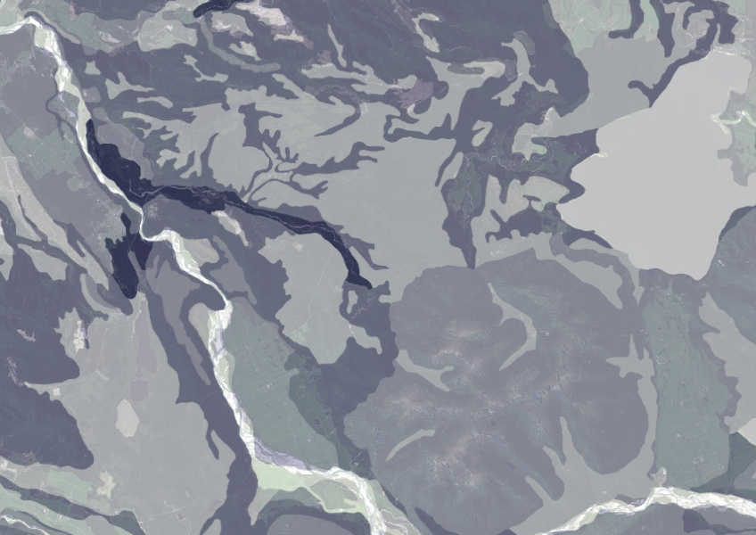
This data shows how much gravel is in the topsoil across different areas. Gravel affects important soil qualities, like how well it holds water and supports plant roots. This can help you understand if certain land uses, like farming or building, are suitable for your land.
The data comes from regional soil databases collected over many years and is presented as a national map. Keep in mind that this resource offers a general guide, so it’s best to use it alongside other soil information for a complete picture.
You will need a GIS tool like QGIS to use the data to its full potential.
Data reproduced with the permission of Landcare Research New Zealand Limited.
Explore soil drainage classes for land use and growth insights.
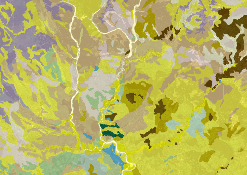
Get a better understanding of soil types on your whenua and across Aotearoa.
Get high-level soil classification data for Te Ika a Māui to help with land use decisions.
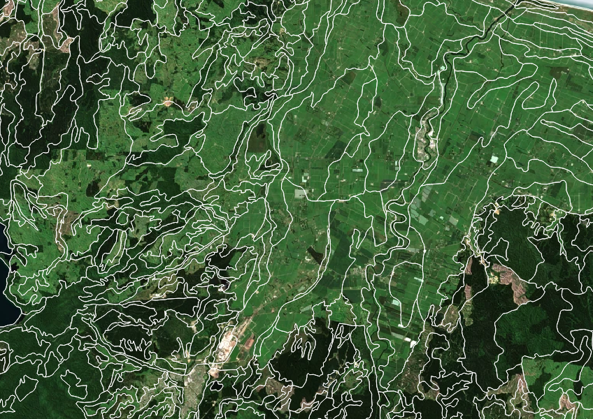
Get high-level soil classification data for Te Wai Pounamu to help with land use decisions.
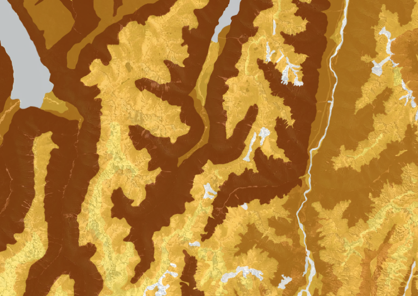
This dataset shows soil cation exchange capacity which can help you understand soil health.
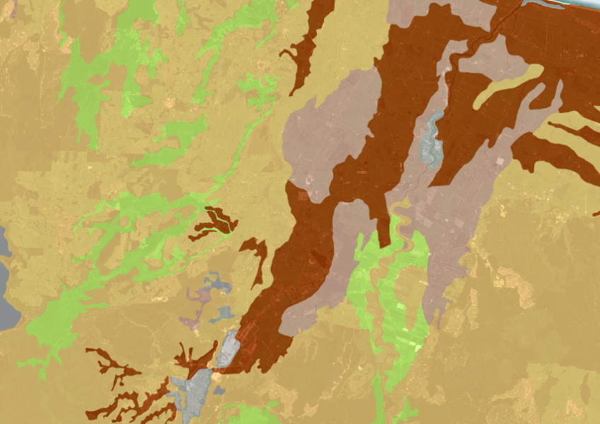
A dataset that estimates soil temperature across the motu.

This map shows erosion types and estimated severity across Aotearoa.

Explore how land use affects soil and water quality across New Zealand catchments.
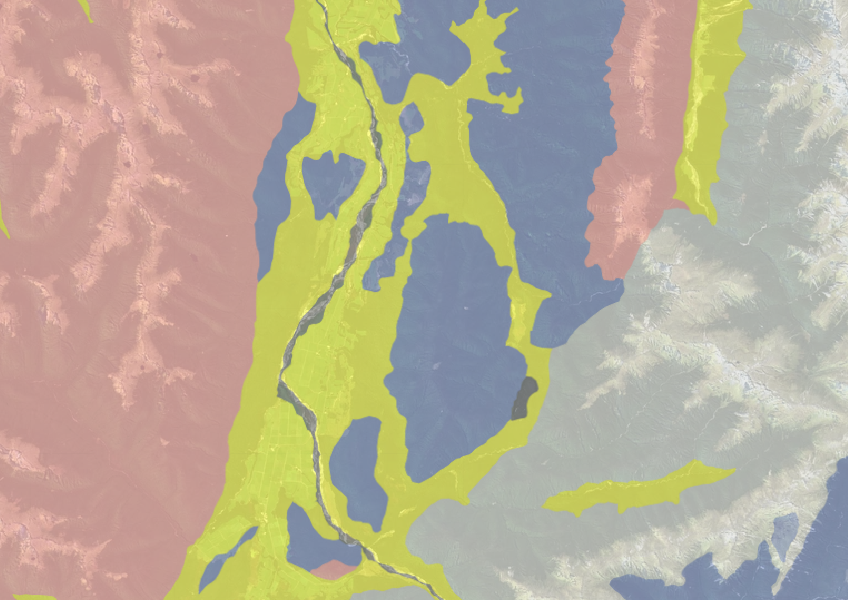
Use the NZLRI rock dataset to understand what type of rock is under your whenua.
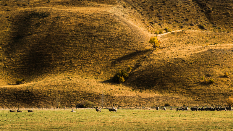
View maps showing average soil moisture deficit onset and termination dates across New Zealand.
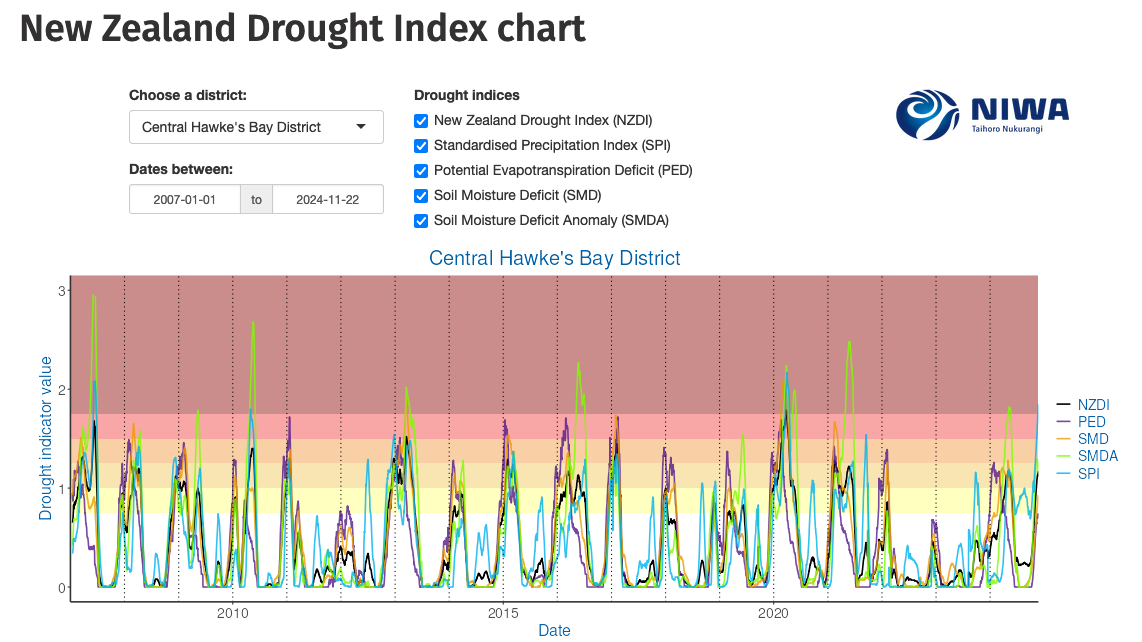
Monitor drought in New Zealand using key indicators and climate data. Access maps and downloads.
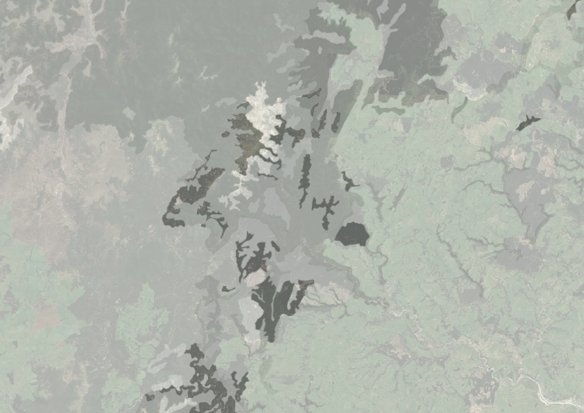
Understand how rocky your whenua is so you can make better land use decisions.
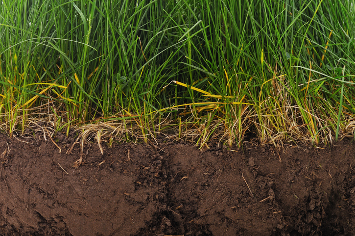
Find factsheets about how to manage different Northland soils.
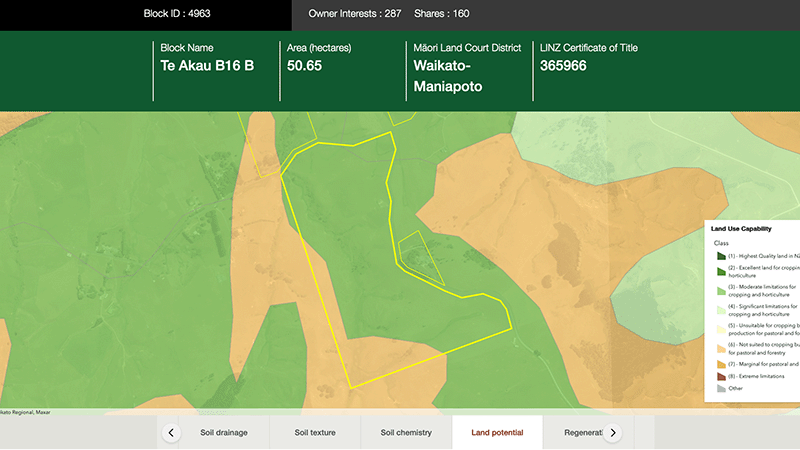
Explore different regulatory, soil, water, and land potential maps for your whenua.
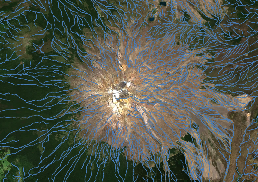
Download a dataset of named and unnamed river lines data for use in your analysis.
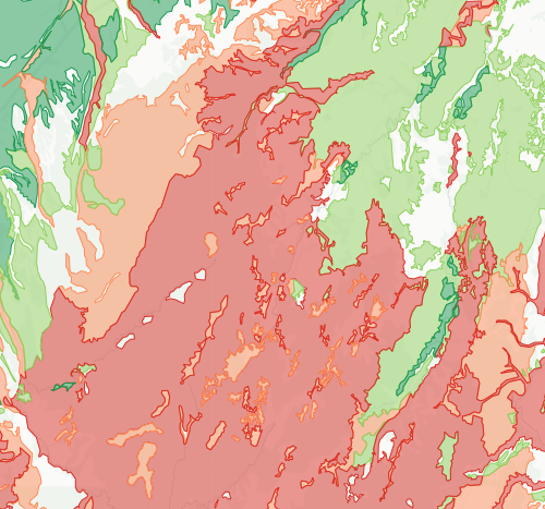
Check how likely nitrogen is to leach through your soil
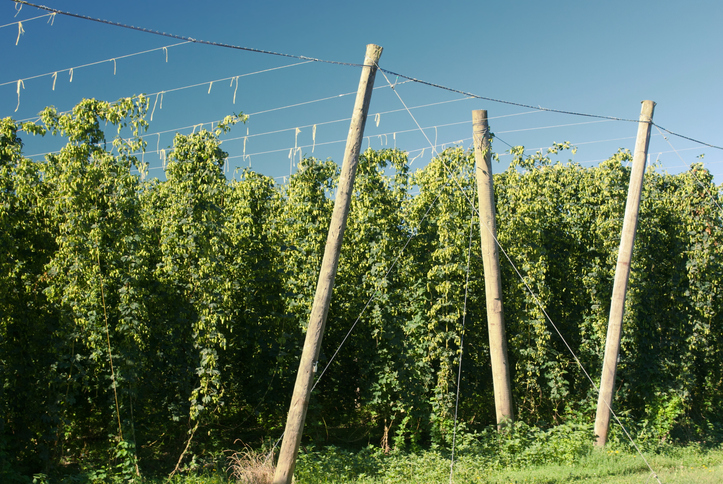
Compare how much hops the whenua in your rohe could produce each year.
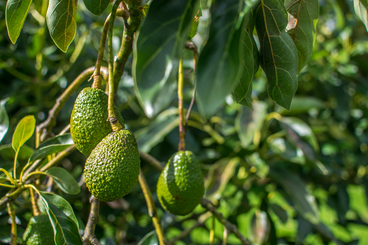
Find out how well suited the whenua in your rohe is to growing avocados.
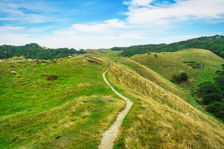
This study models soil loss, which is a major issue for Aotearoa farms and the environment.
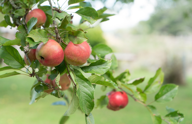
See how well suited the whenua in your rohe is to growing apples.

This widely used map estimates the land's potential for agricultural production.
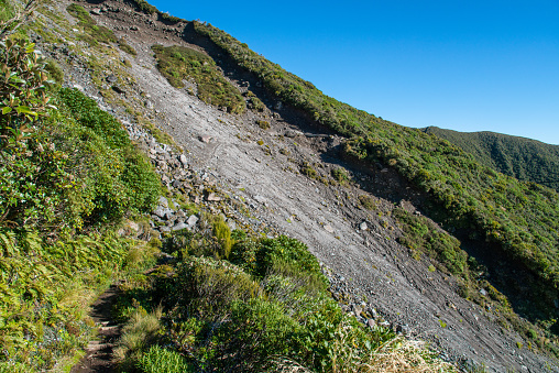
Find links to the main models used to estimate erosion and sediment in Aotearoa.
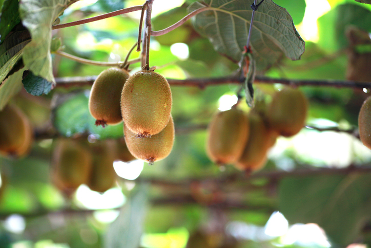
Learn how well suited the whenua in your rohe is to growing kiwifruit.