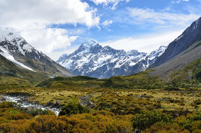
A classification of New Zealand terrestrial ecosystems
Whenua
Biodiversity
Conservation
Planning
This report classifies Aotearoa ecosystems into 152 types to help with policy and decision-making.
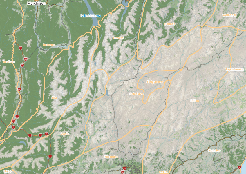
Ecological districts are areas of Aotearoa that share relatively similar physical and biological characteristics. They can be a useful way of classifying the whenua for land use and policy decision-making at a community, catchment, and regional level. They can also be useful for getting ideas from different rohe that are similar to yours.
DOC have made this dataset available as a map and downloadable data tables.
Data sourced from Department of Conservation and licensed under CC BY 3.0.
This report classifies Aotearoa ecosystems into 152 types to help with policy and decision-making.
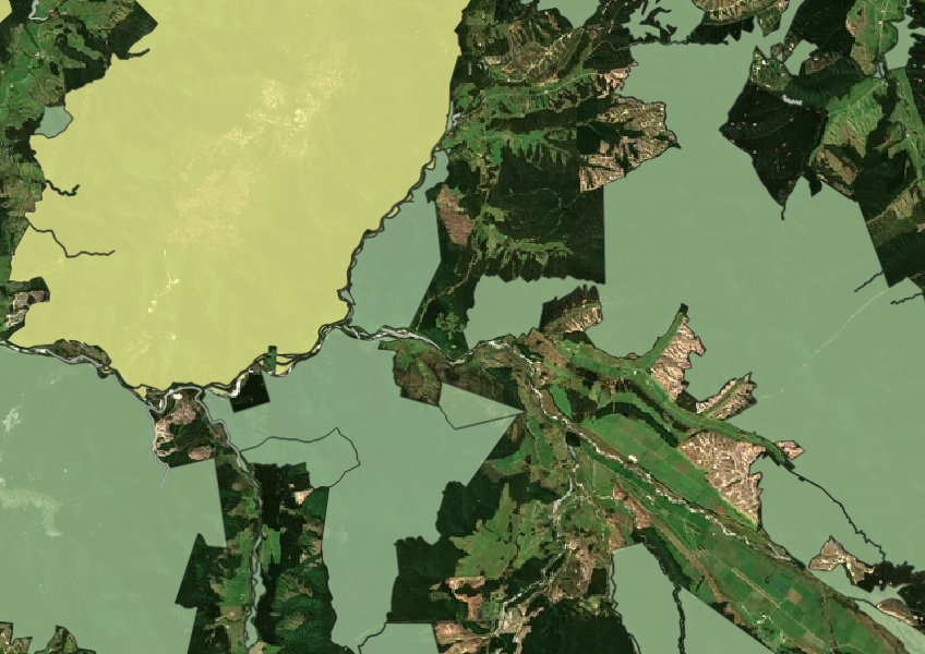
See all public conservation land in Aotearoa including national parks, reserves, and marine protected areas.
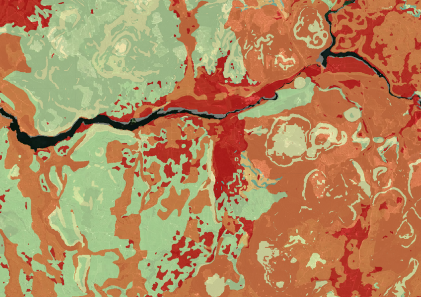
Map showing our remaining indigenous vegetation and its protection status..
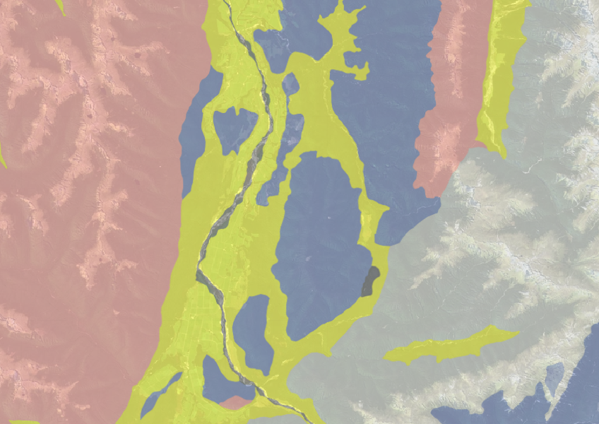
Use the NZLRI rock dataset to understand what type of rock is under your whenua.
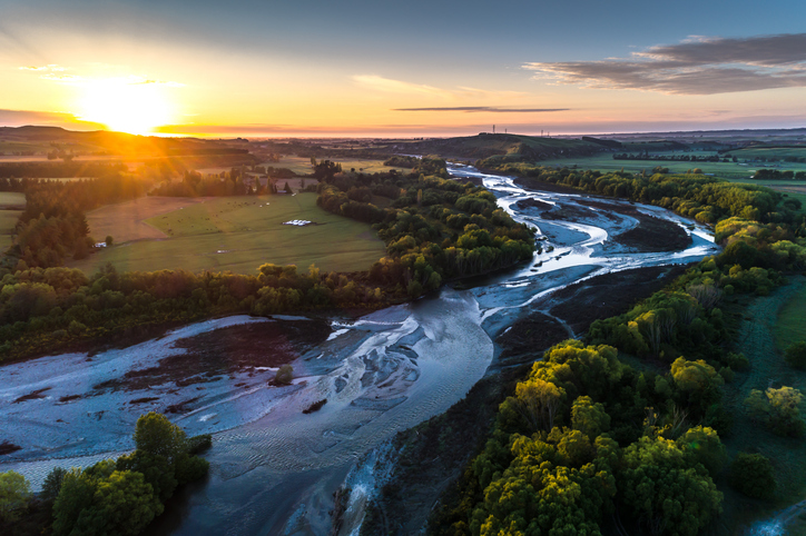
A comprehensive dataset of Aotearoa river catchments that drain to the sea.

This map shows erosion types and estimated severity across Aotearoa.
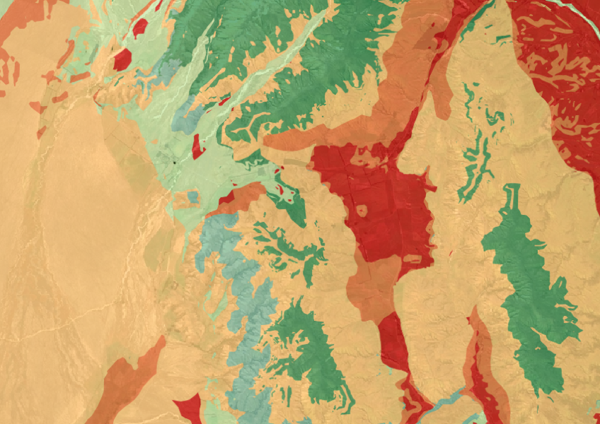
The Threatened Environments Classification can help you better understand the health of your local ecosystems.
Learn how trees connect with our culture and environment.
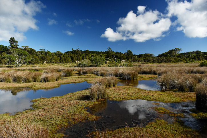
Explore and download spatial data related to Ngā Whenua Rāhui protected areas.
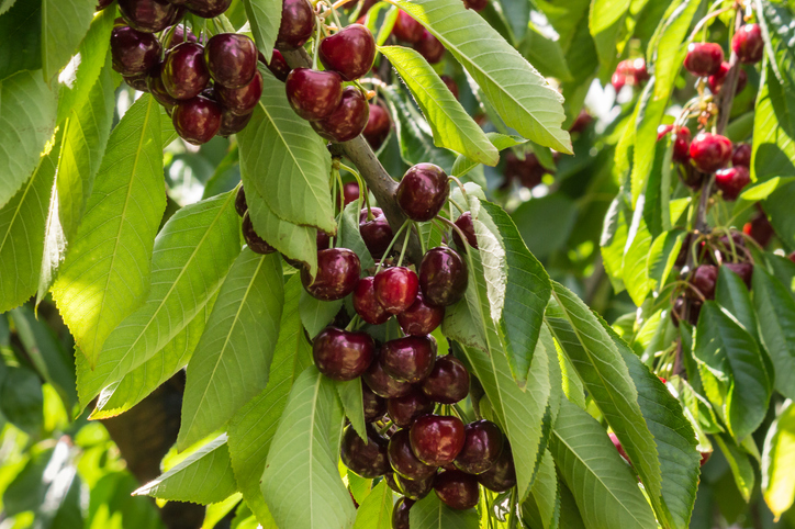
Explore how well suited the whenua in your rohe is to growing cherries.
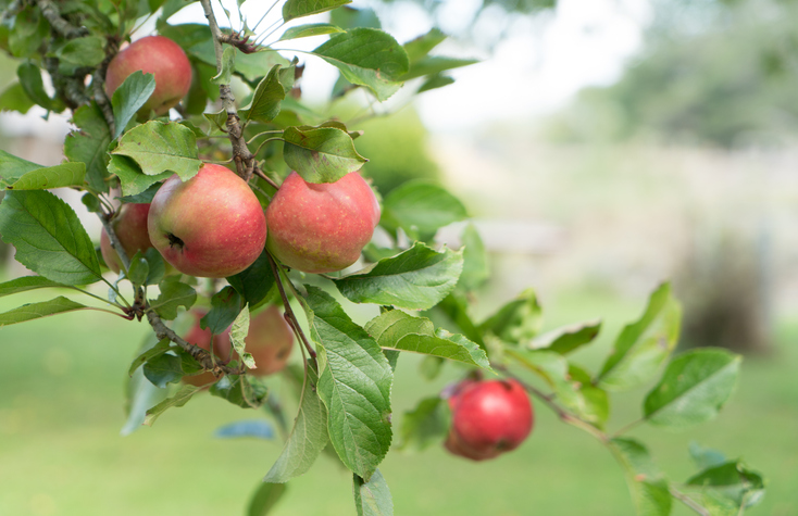
See how well suited the whenua in your rohe is to growing apples.
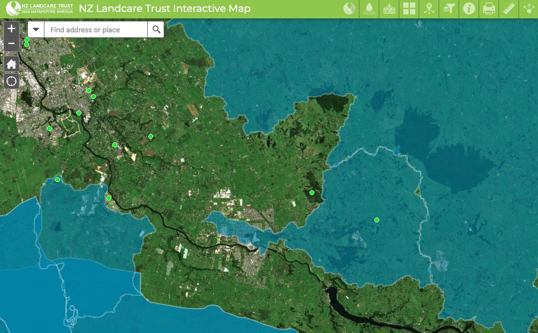
Find catchment and environmental groups and water quality data with this interactive map.

New Zealand's vegetation survey data spans over 70 years and includes 121,000 plot records.
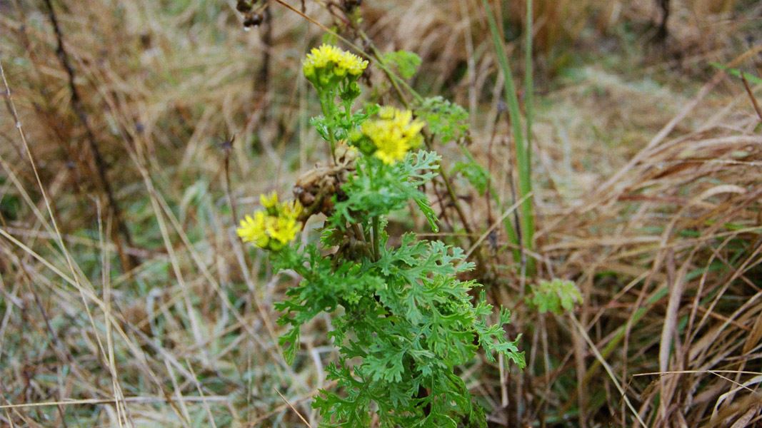
Learn effective ways to control weeds in Aotearoa ecosystems.

Explore how land use affects soil and water quality across New Zealand catchments.
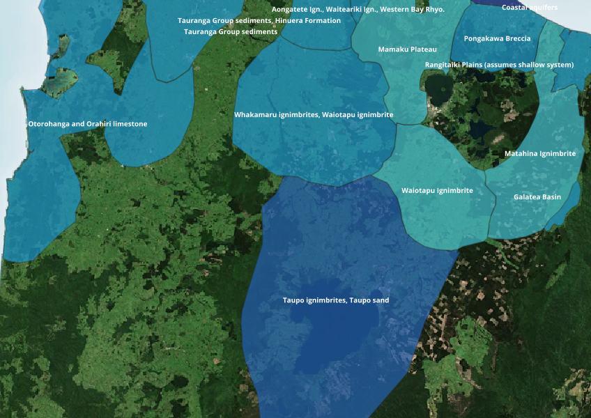
Find out where you might be able to access groundwater in your rohe.
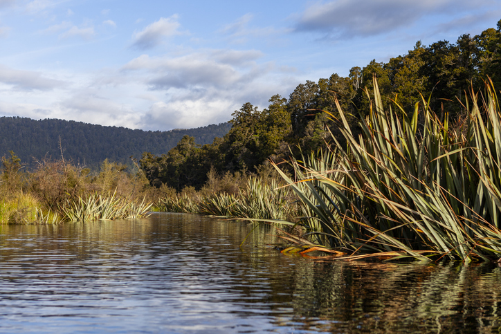
Find out about the different biosecurity initiatives taking place on the West Coast.
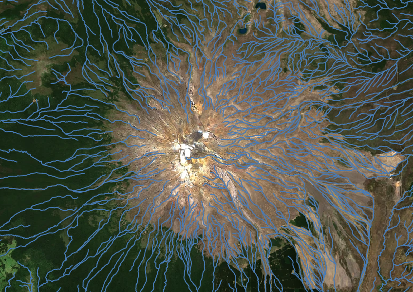
Download a dataset of named and unnamed river lines data for use in your analysis.
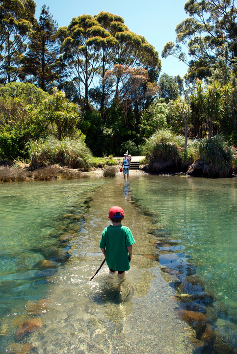
See how land-use and farm practice changes on your land can impact water quality across the catchment.
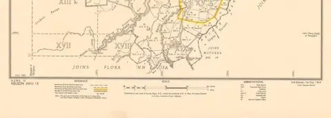
Get guidance about how to search for and request official copies of Māori land records.

This widely used map estimates the land's potential for agricultural production.
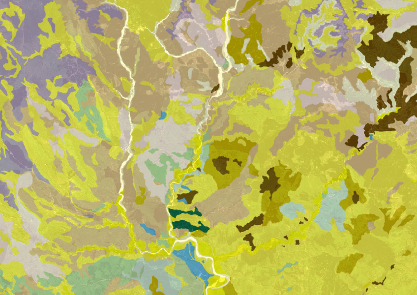
Get a better understanding of soil types on your whenua and across Aotearoa.
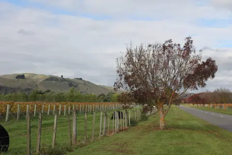
Get high-level soil classification data for Te Ika a Māui to help with land use decisions.