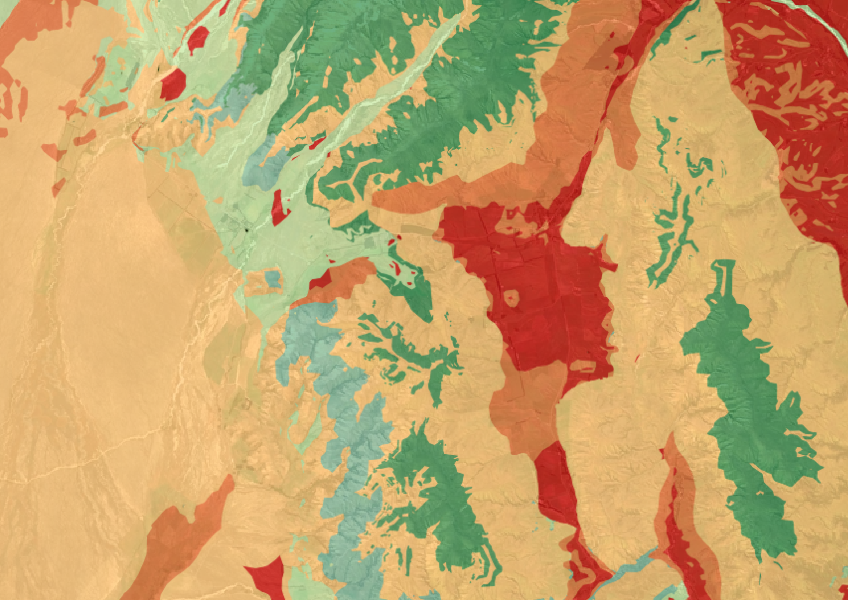
Threatened Environments Classification
Whenua
Biodiversity
Conservation
Regeneration
The Threatened Environments Classification can help you better understand the health of your local ecosystems.
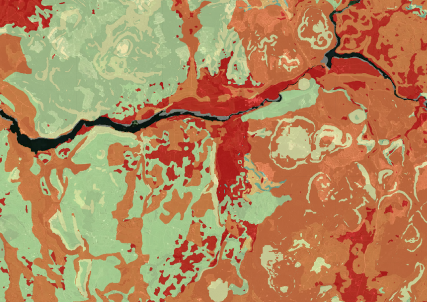
This dataset shows the amount of indigenous vegetation that remains and is protected. It divides the land into 500 areas based on unique ecological and physical features. You can see how much indigenous vegetation is left and how much is legally protected. This information helps you understand the role of this vegetation in storing carbon and supporting biodiversity. However, it
Note that this dataset covers the period of 2001 to 2012 so while it is still a useful resource things might have changed since then. It also doesn't identify specific types of plants or species.
Data sourced from Ministry for the Environment and licensed under CC BY 3.0 NZ.
The Threatened Environments Classification can help you better understand the health of your local ecosystems.
View historic indigenous forest cover in Te Wai Pounamu based on a range of different data and imagery.
Find out how to convert marginal or depleted agricultural land into native forests for carbon farming.
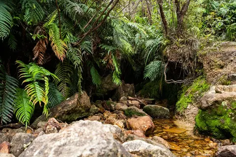
View historic indigenous forest cover in Te Ika a Māui based on a range of different data and imagery.
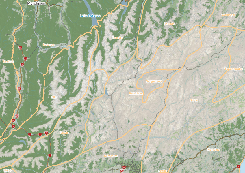
This map shows different areas of Aotearoa that have similar physical and biological characteristics.
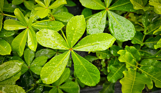
Reports from a nationwide survey of native tree plantings for growth and carbon insights.
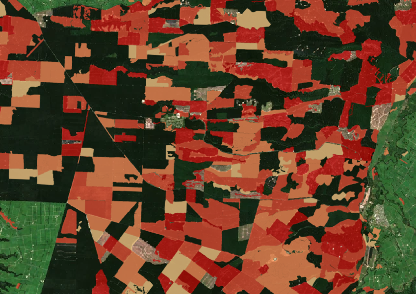
See the extent of forested land cleared between 2008 and 2020 shaded by year.

LUCAS is a national dataset that tracks carbon sequestration and land use change over time.
New Zealand's vegetation survey data spans over 70 years and includes 121,000 plot records.
Learn how farms can use trees for carbon credits to boost income while enhancing te Taiao.
Explore how our beef and lamb farming can support wellbeing, the planet, and local communities.

This map shows erosion types and estimated severity across Aotearoa.
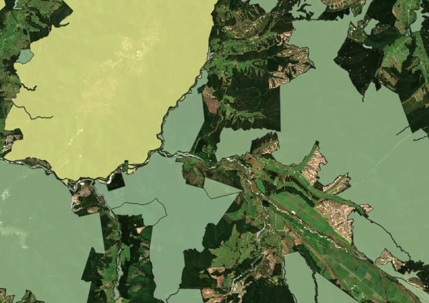
See all public conservation land in Aotearoa including national parks, reserves, and marine protected areas.
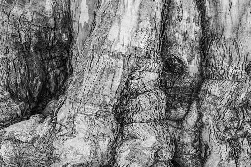
Learn how to protect kauri trees on your whenua from disease.
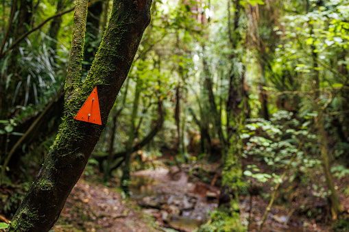
Get useful tips for restoring native forest on your whenua.
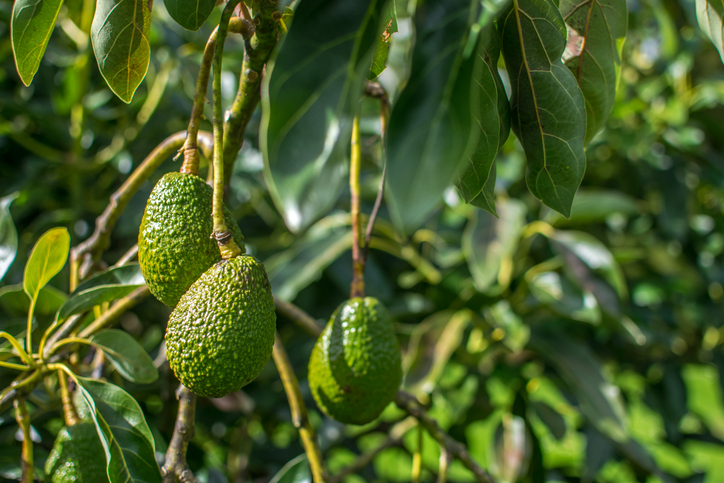
Find out how well suited the whenua in your rohe is to growing avocados.
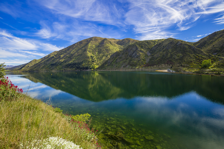
Funding for projects that protect and enhance biodiversity in Waitaki District.
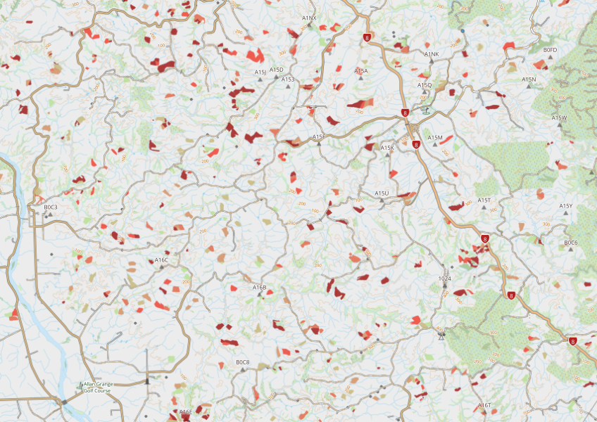
This dataset maps winter forage areas in New Zealand's hill country.

This widely used map estimates the land's potential for agricultural production.
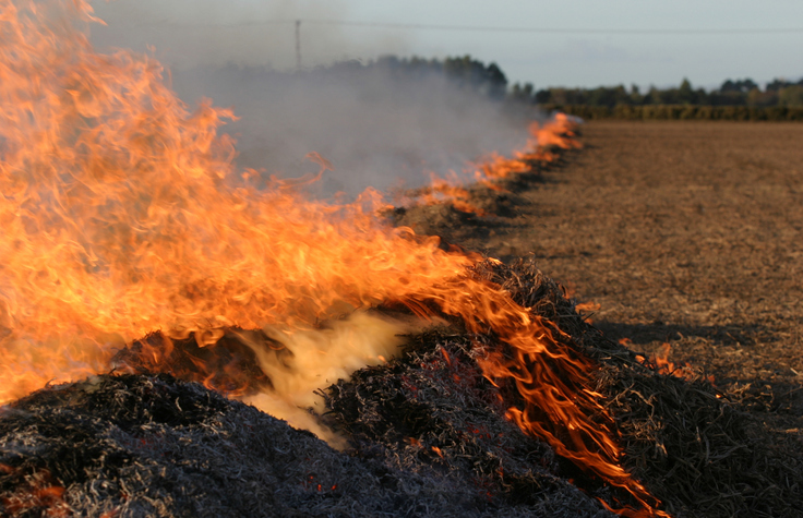
This guide helps landowners safely use fire to clear land of vegetation.
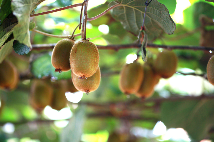
Learn how well suited the whenua in your rohe is to growing kiwifruit.
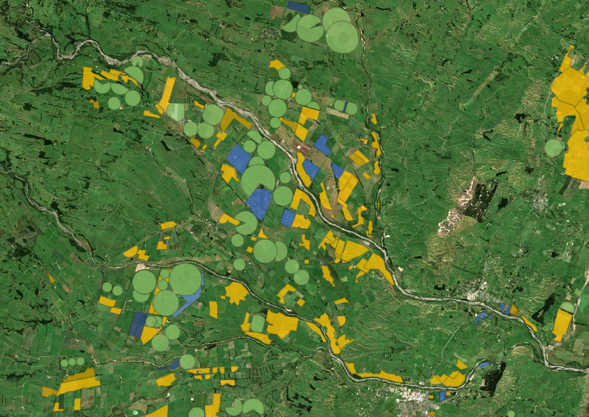
Dr. Adam Forbes discusses transitional forestry's role in shifting exotic forests to native ecosystems.