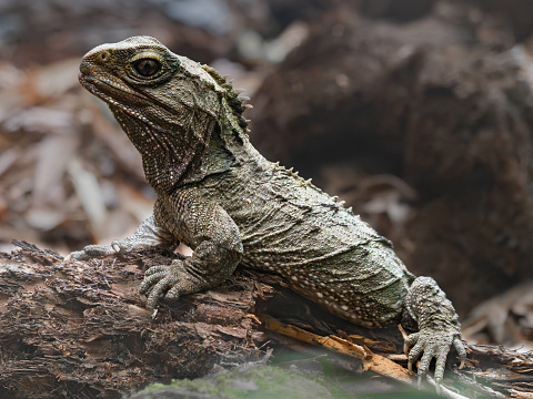
Protecting your whenua with a QEII covenant
Whenua
Biodiversity
Conservation
Whenua Māori
A QEII covenant can be a good way of protecting ecosystems on your whenua.
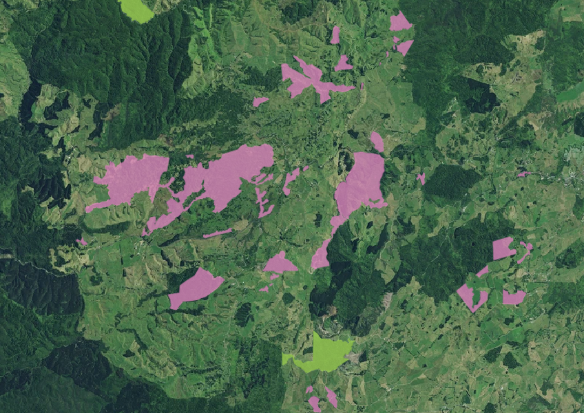
The QEII National Trust Covenants data shows where land owners have protected their land with QEII covenants. It is available as a Shapefile that can be used in ESRI tools like ArcGIS Online.
A QEII covenant can be a good way of protecting ecosystems on your whenua.
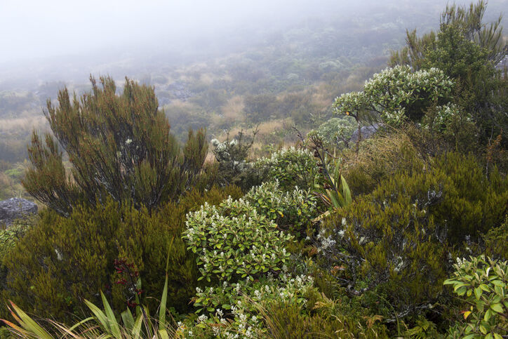
Learn about buying land protected by the QEII National Trust and its unique covenants.
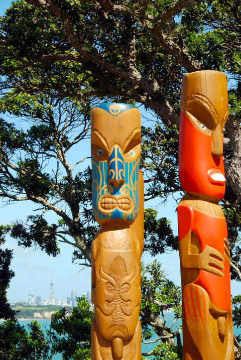
If you have a registered QEII covenant on your whenua you might be able to get extra funding to enhance its biodiversity.
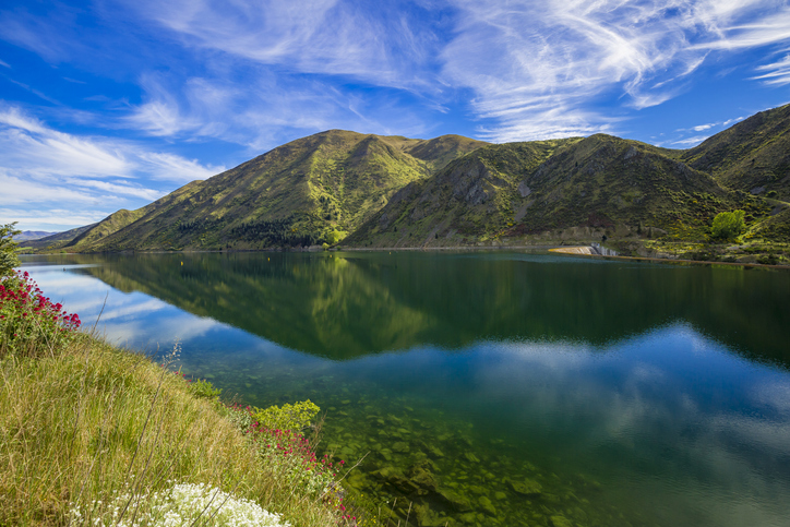
Funding for projects that protect and enhance biodiversity in Waitaki District.
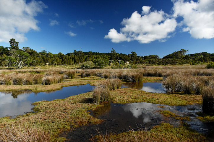
Explore and download spatial data related to Ngā Whenua Rāhui protected areas.
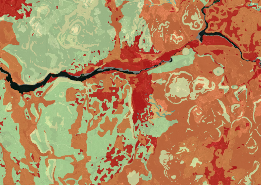
Map showing our remaining indigenous vegetation and its protection status..
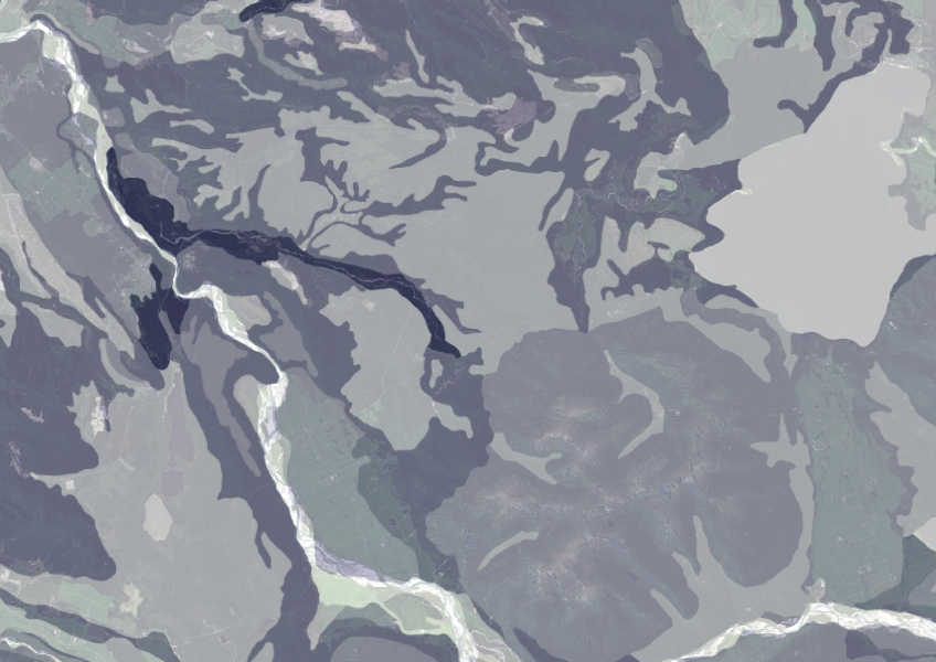
Data on gravel content in topsoil across New Zealand, useful for land use planning.
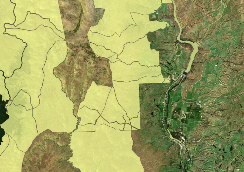
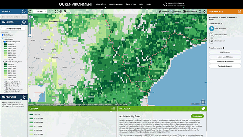
Explore New Zealand’s environment with interactive maps and data on various themes.
Tips for ensuring your Māori land trust is performing.
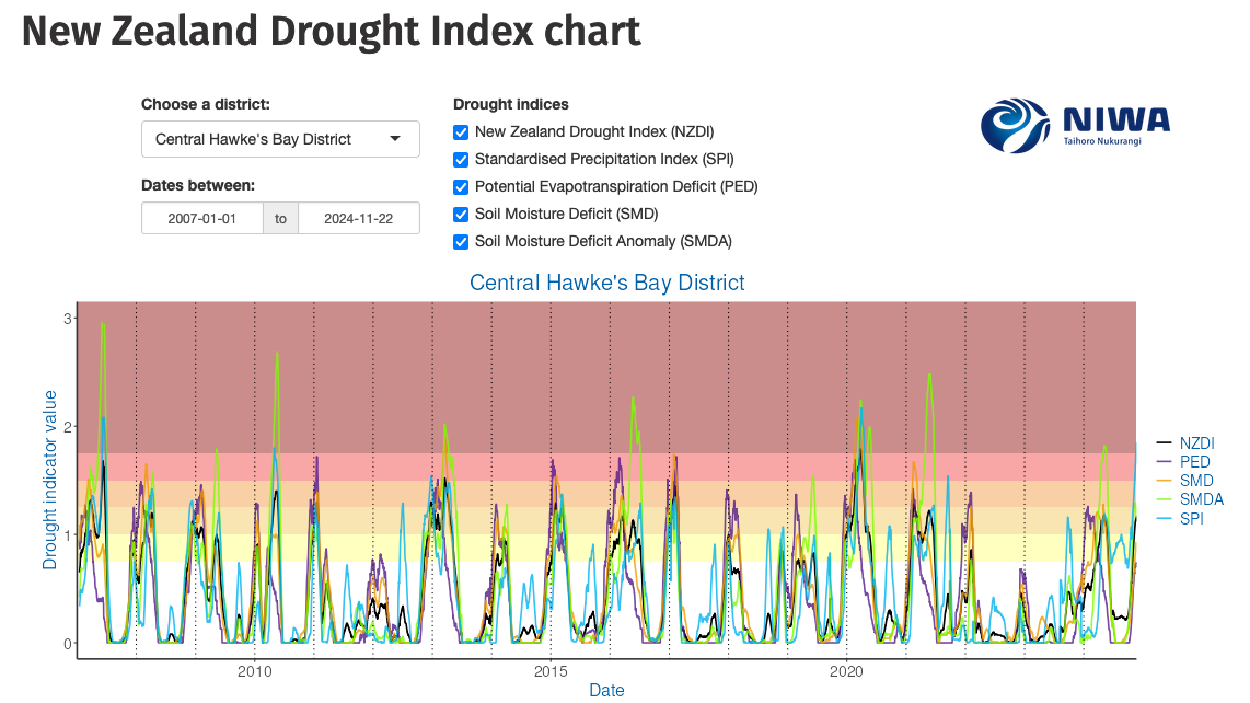
Monitor drought in New Zealand using key indicators and climate data. Access maps and downloads.
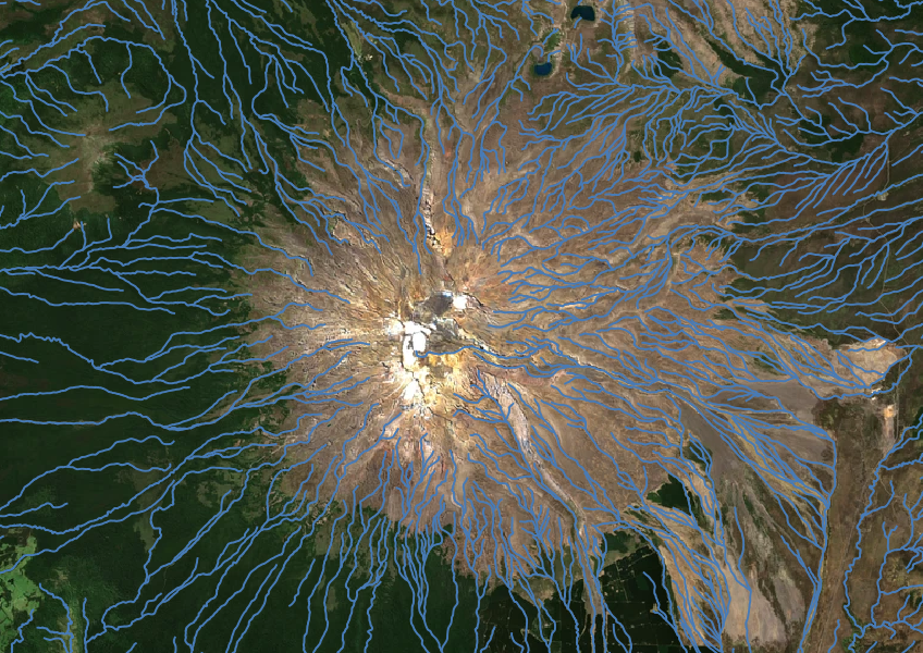
Download a dataset of named and unnamed river lines data for use in your analysis.
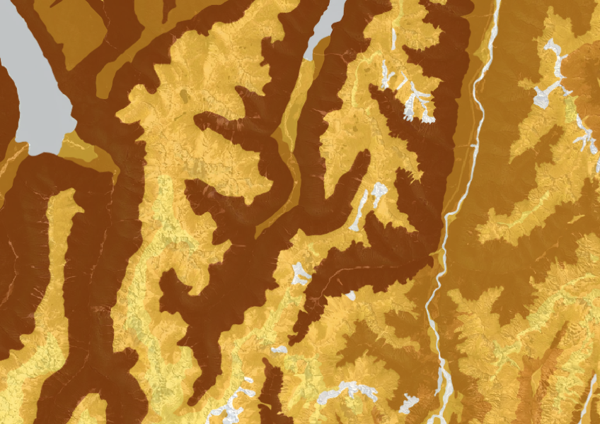
This dataset shows soil cation exchange capacity which can help you understand soil health.
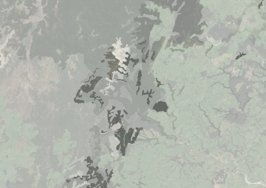
Understand how rocky your whenua is so you can make better land use decisions.
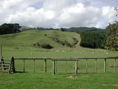
Find out how to access information about Māori land and its ownership and governance.
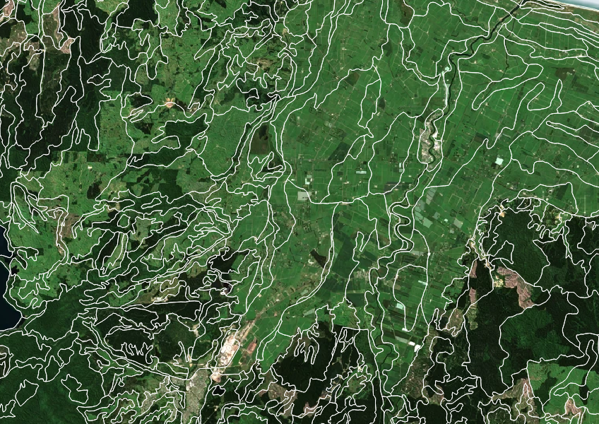
Get high-level soil classification data for Te Wai Pounamu to help with land use decisions.
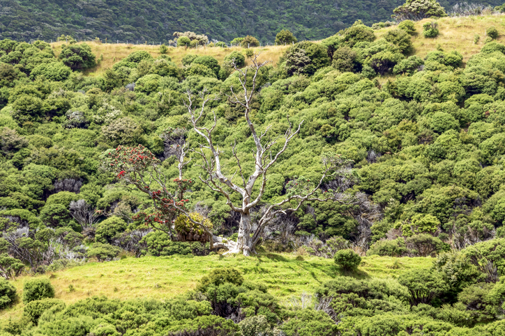
Get funding for QEII covenant care and ecological enhancement.
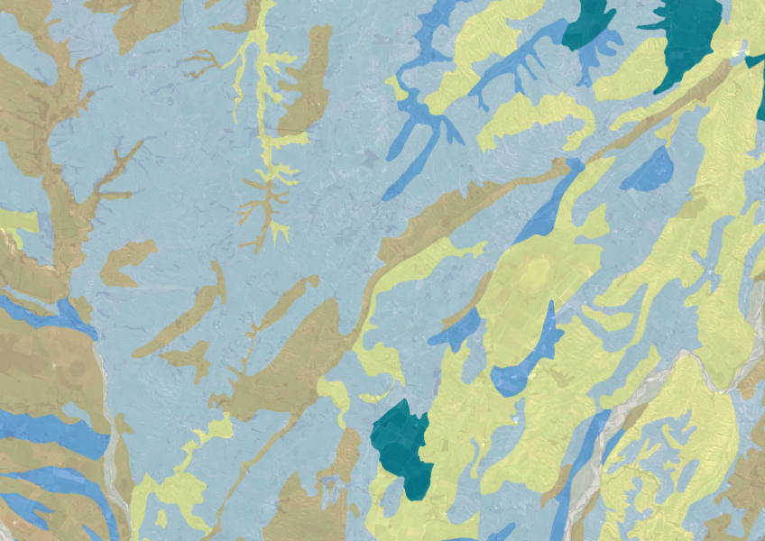
Explore soil drainage classes for land use and growth insights.
The ESC can determine whether you need resource consent to establish plantation forestry on your whenua.
Learn how to manage Māori land through trusts and incorporations for your whānau.

Find out about the records you need to keep for your Māori land trust.
Tāne’s Tree Trust offers tools and calculators to help with planting native trees.
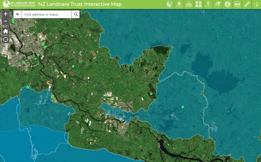
Find catchment and environmental groups and water quality data with this interactive map.