Thriving Southland
Whenua
Collaboration
Community
Sustainability
Thriving Southland supports local catchment groups to create a prosperous Southland.
This project from the Hedgehope Makarewa Catchment Group worked with Land & Water Science to map how variation in landscape characteristics drives water quality outcomes. Using radiometrics to create high-resolution hydrological layers, the project produced an online mapping tool that helps landowners understand flow paths for nitrogen, phosphorus, sediment, and microbes — and identify the most effective mitigations for the least cost.
Thriving Southland supports local catchment groups to create a prosperous Southland.
Factsheets about river catchments in Murihiku | Southland.
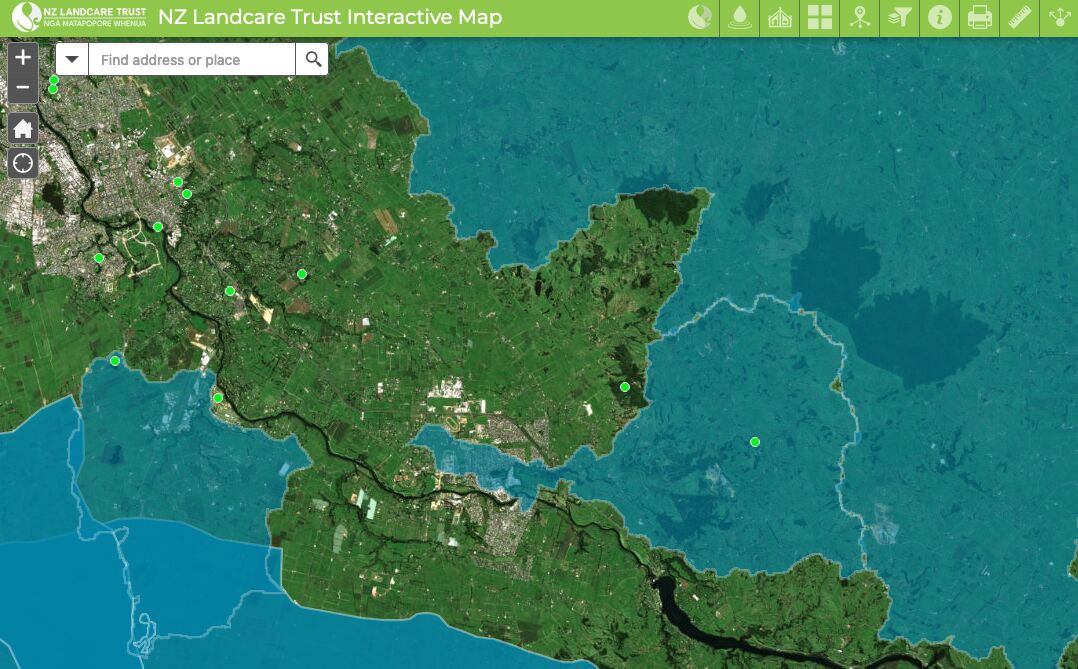
Find catchment and environmental groups and water quality data with this interactive map.
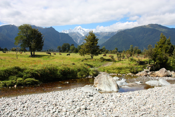
Compare nitrogen and phosphorus levels in your rivers against national bottom lines.
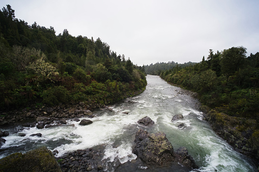
Read the report behind Aotearoa's freshwater E. coli, sediment and nutrient maps.
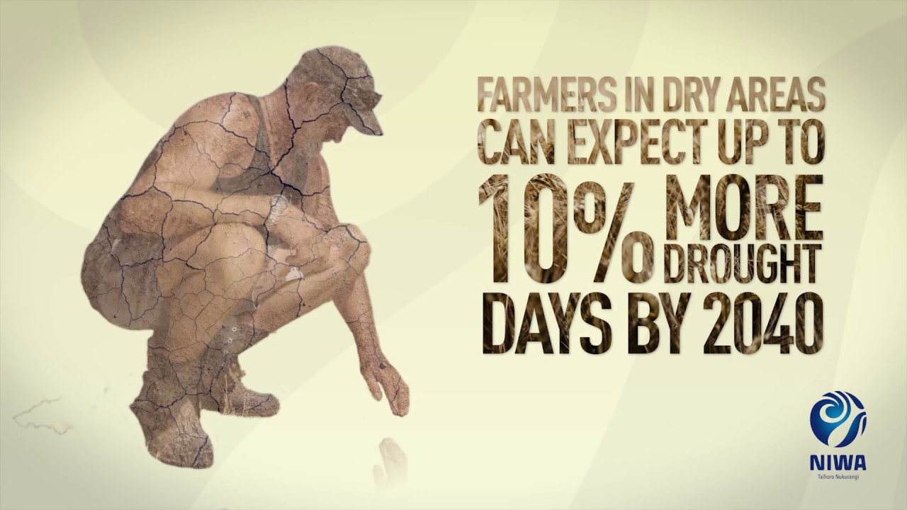
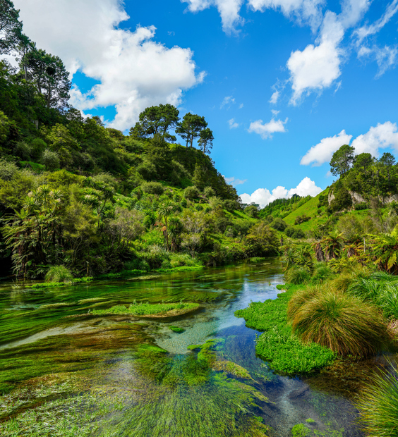
Learn about climate change in Aotearoa and how science helps us adapt.
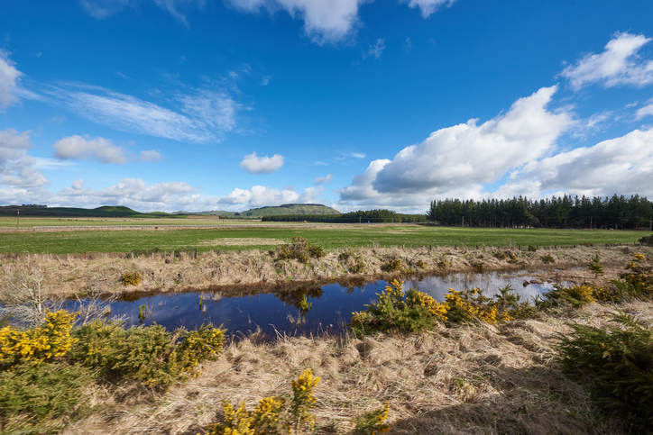
Explore maps showing how livestock density affects water quality in New Zealand rivers.
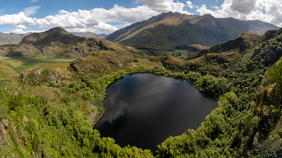
Explore how land use changes affect water quality and nitrogen, phosphorus loads.
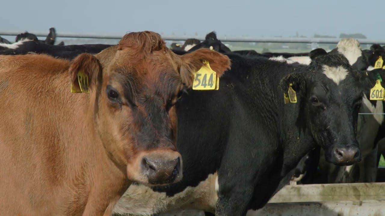
The Miller family shares how they've woven environmental care into their everyday farm work
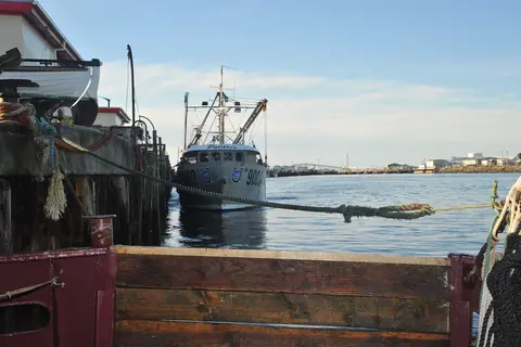
Learn how Southland industry can switch process heat from coal to biomass and electricity.
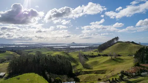
How and why land use in Aotearoa has to change.
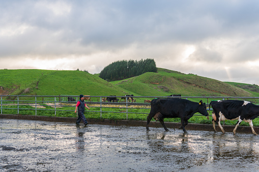
Map showing nitrate-nitrogen leaching from dairy farms, with spatial accuracy at 100m resolution.
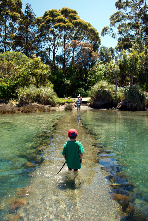
See how land-use and farm practice changes on your land can impact water quality across the catchment.
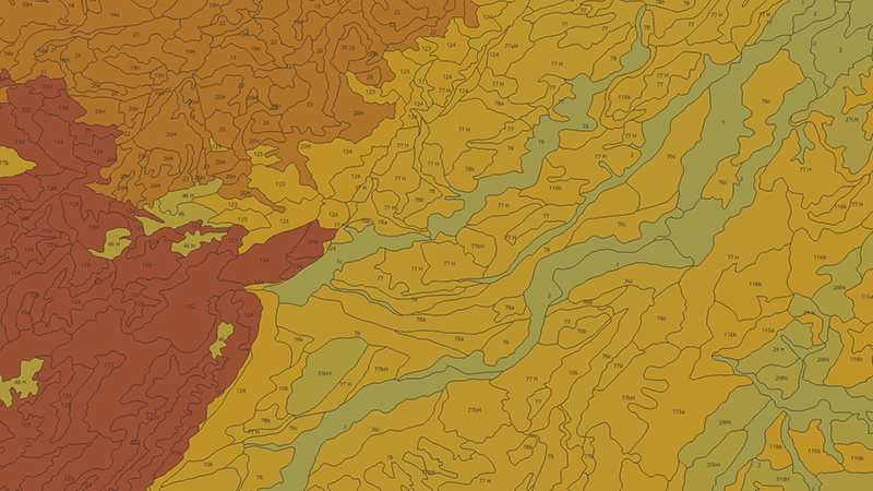
Learn how to measure and map soil carbon to reduce agricultural greenhouse gas emissions.
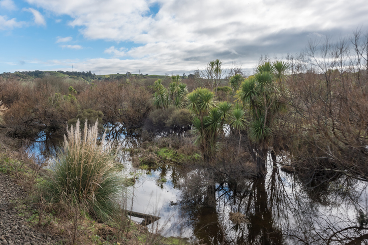
Learn how constructed wetlands treat farm runoff by removing sediment, nitrogen, and phosphorus.
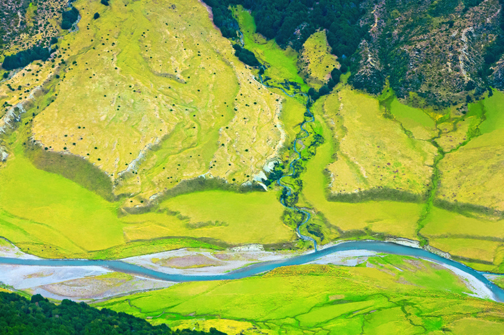
Learn how to start a catchment action group in your rohe.
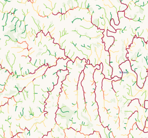
Check which streams on your whenua are most vulnerable to bank erosion.
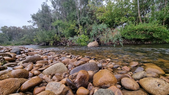
Compare sediment levels in your local rivers against national bottom lines.
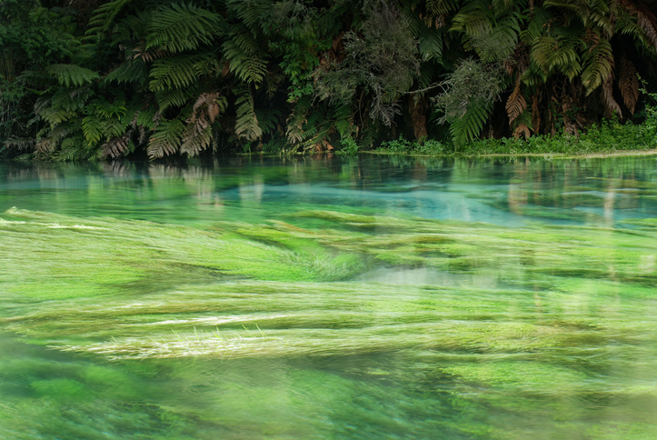
Explore resources, tools, and research that were funded by the Our Land & Water National Science Challenge.
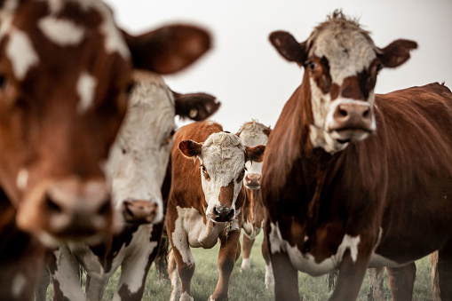
Explore how dairy water-quality measures affect greenhouse gas emissions too.
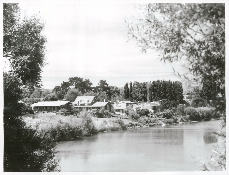
A project to restore the Waimatā River, focusing on ecology and community involvement.
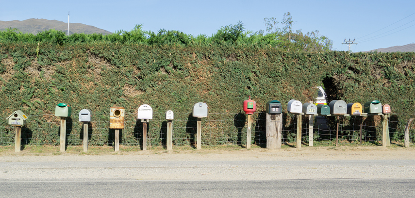
Learn how to start a Catchment Community Group with tips from other farmers.