
EnviroSatTools: Coastal Module
Whenua
Conservation
Sustainability
This add-in for Google Earth can help you analyse coastal changes using satellite imagery and public datasets.
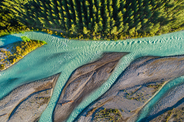
EnviroSatTools: Change Detection Module is a Google Earth add-in that can help you quickly identify changes in land, soil, and vegetation using satellite imagery and public datasets. It could be useful for analysing short-term land cover changes like winter grazing. It is intended for users with some technical knowledge about mapping.
This add-in for Google Earth can help you analyse coastal changes using satellite imagery and public datasets.
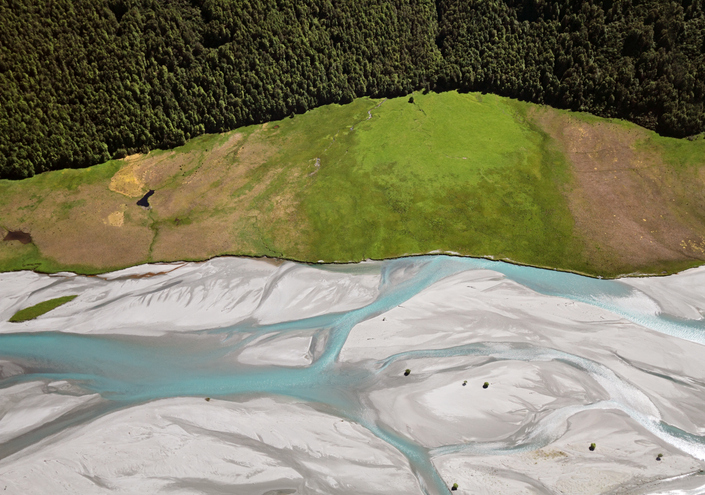
EnviroSatTools is a collection of Google Maps add-ins to help analysts map land and water using satellite imagery and public datasets.
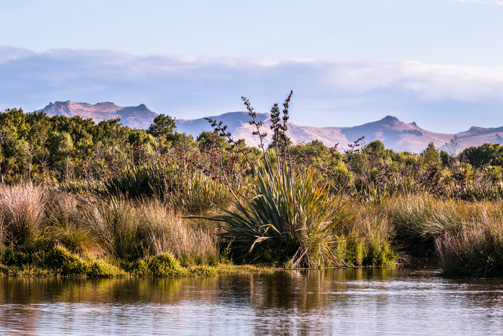
This add-in for Google Earth can help you identify wetlands using satellite imagery and public datasets.
Plantation Watch Lite offers satellite imagery for land changes in Aotearoa.
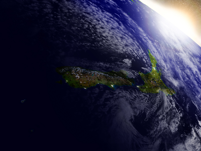
This resource discusses how satellite data can improve New Zealand's food and fibre sector.
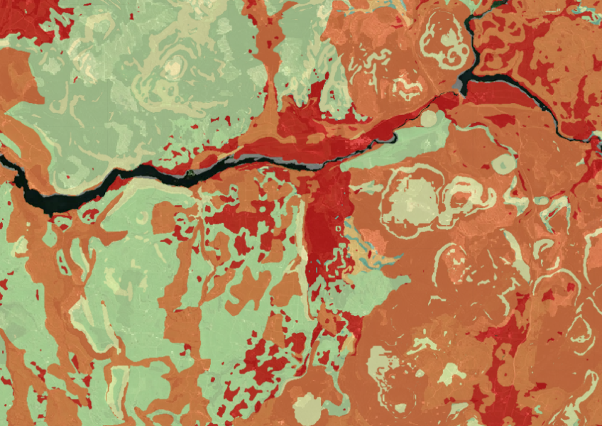
Map showing our remaining indigenous vegetation and its protection status..

See land cover in Aotearoa and how it has changed over time.
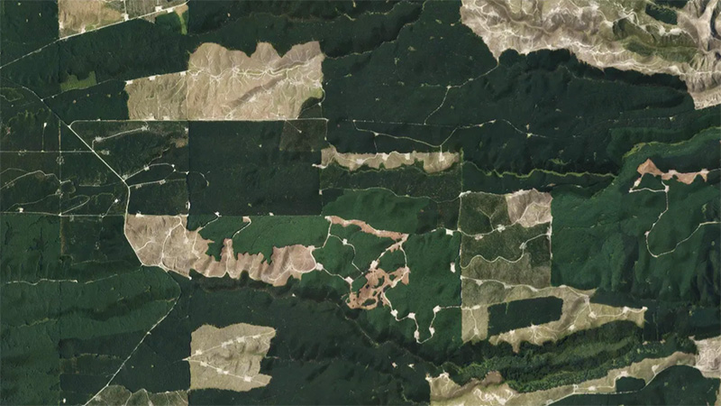
This add-in for Google Earth can help you monitor and analyse forest changes using satellite imagery and public datasets.
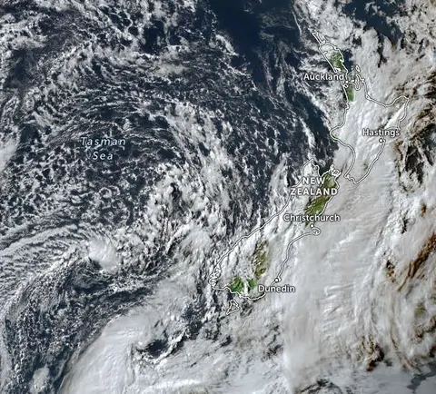
Zoom in on live satellite maps to check weather, floods, fire risk, and land changes in your rohe.
Learn how soil carbon impacts climate change and things you can do on your farm to offset your emissions.
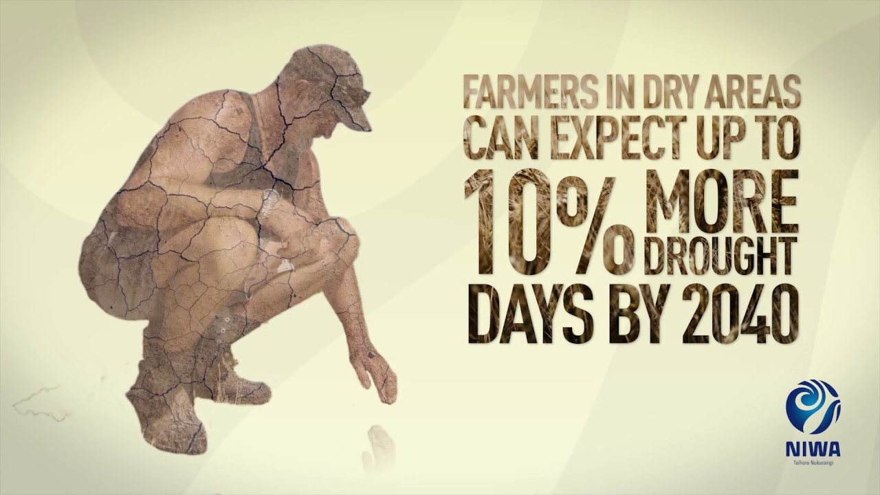
Learn about climate change in Aotearoa and how science helps us adapt.
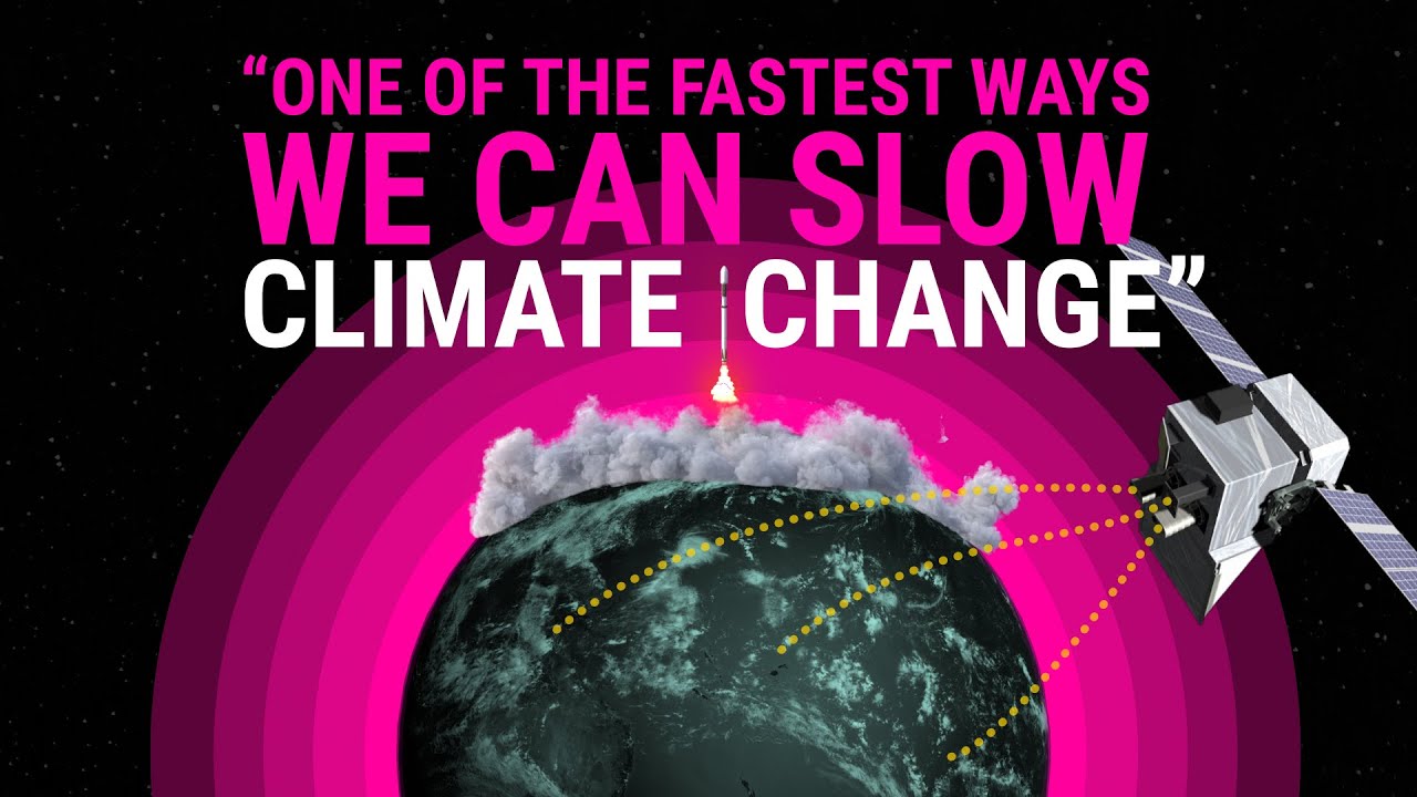
How New Zealand scientists are tracking farm methane from space.
Learn about soil's role in farming and improve soil management for better production.
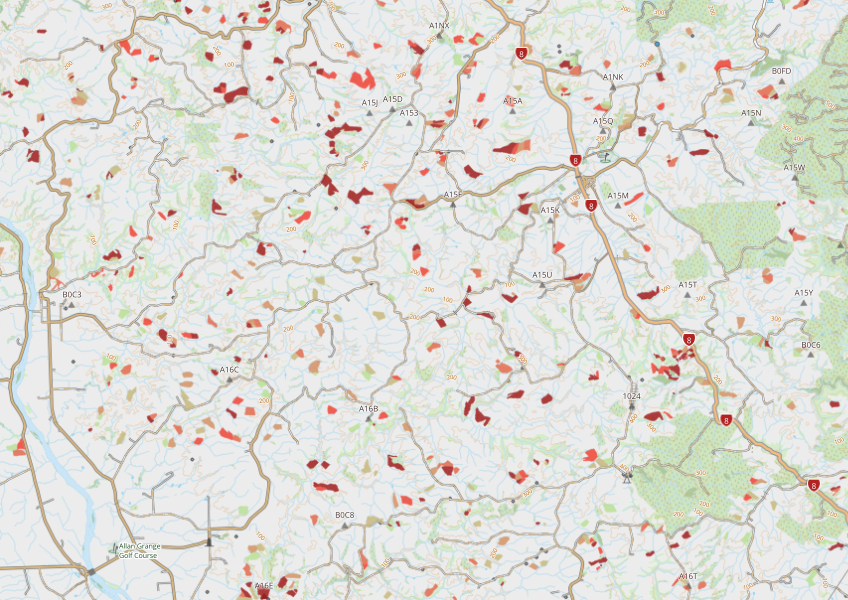
This dataset maps winter forage areas in New Zealand's hill country.
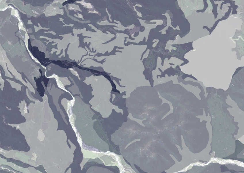
Data on gravel content in topsoil across New Zealand, useful for land use planning.
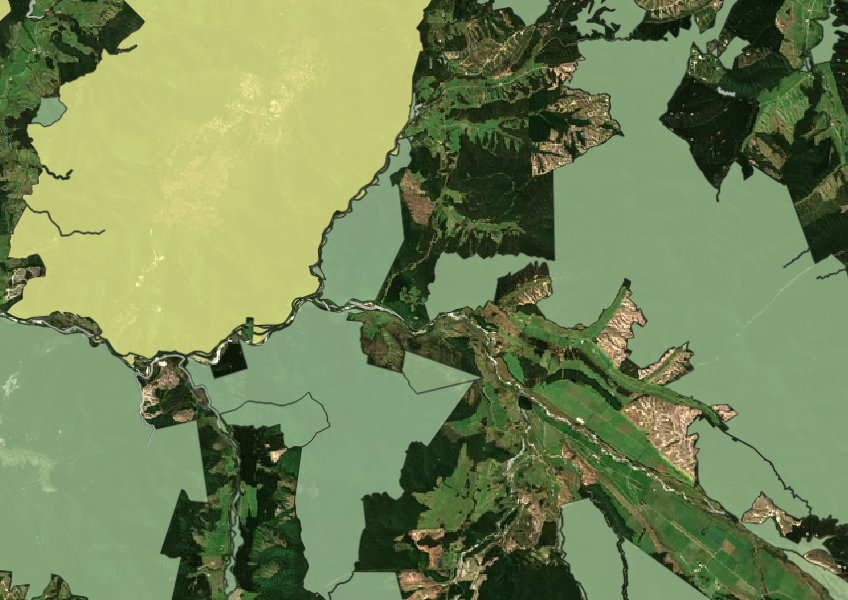
See all public conservation land in Aotearoa including national parks, reserves, and marine protected areas.
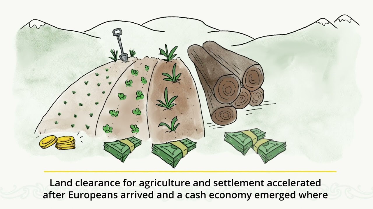
Watch videos on key Tairāwhiti issues like land use, climate change, and carbon farming.
A comprehensive dataset that tracks how rural land is used across Aotearoa.
New Zealand's vegetation survey data spans over 70 years and includes 121,000 plot records.
Learn about strategies and techniques for supporting and managing native biodiversity on your farm.
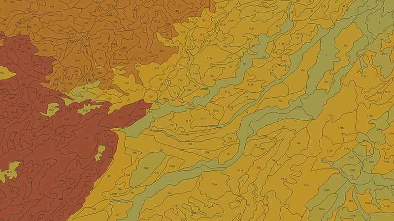
Learn how to measure and map soil carbon to reduce agricultural greenhouse gas emissions.
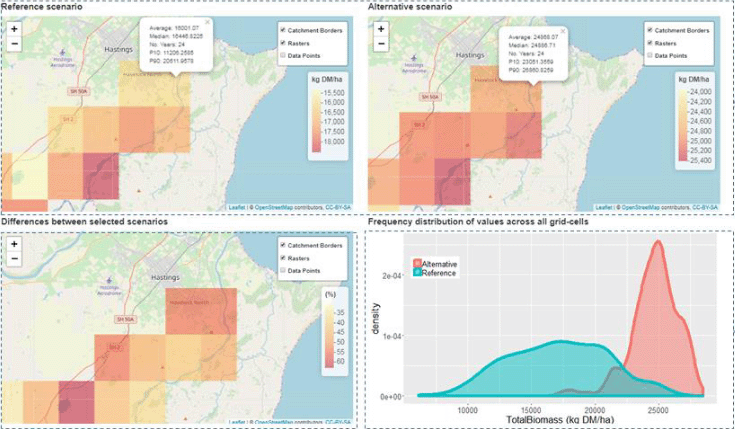
A framework to analyse how climate and soils affect farming landscapes.