
EnviroSatTools: Coastal Module
Whenua
Conservation
Sustainability
This add-in for Google Earth can help you analyse coastal changes using satellite imagery and public datasets.
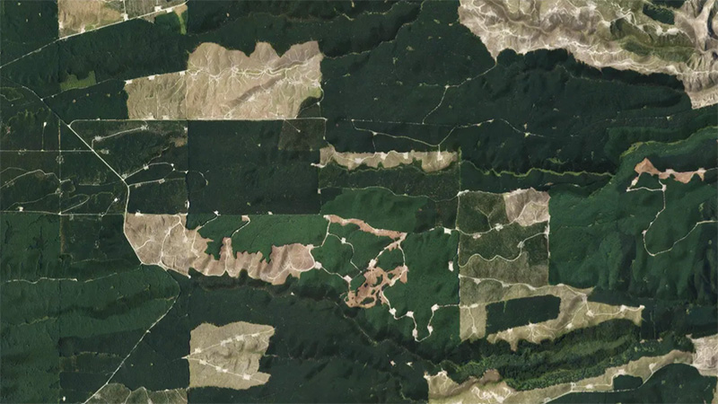
EnviroSatTools: Forestry Change Module is a Google Earth add-in that can help identify and map forest changes using satellite imagery and public datasets. It can also be used to create a time series of harvesting andvegetation change over time. It is intended for users with some technical and local knowledge about forestry landscapes.
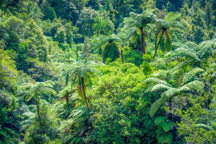
Image source: Toitū Te Whenua Land Information New Zealand licensed under CC BY 4.0.
This add-in for Google Earth can help you analyse coastal changes using satellite imagery and public datasets.
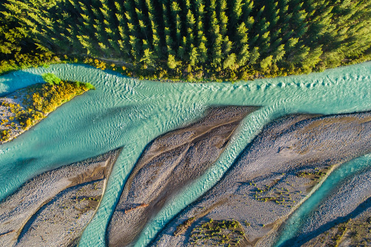
This add-in for Google Earth can help you track short-term land changes using satellite imagery and public datasets.
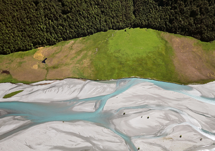
EnviroSatTools is a collection of Google Maps add-ins to help analysts map land and water using satellite imagery and public datasets.

See land cover in Aotearoa and how it has changed over time.
Plantation Watch Lite offers satellite imagery for land changes in Aotearoa.

LUCAS is a national dataset that tracks carbon sequestration and land use change over time.
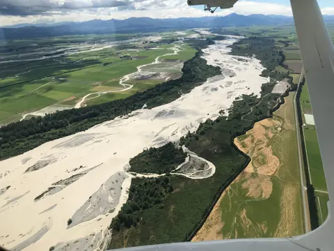
This add-in for Google Earth can help you map flooding using satellite imagery and public datasets.
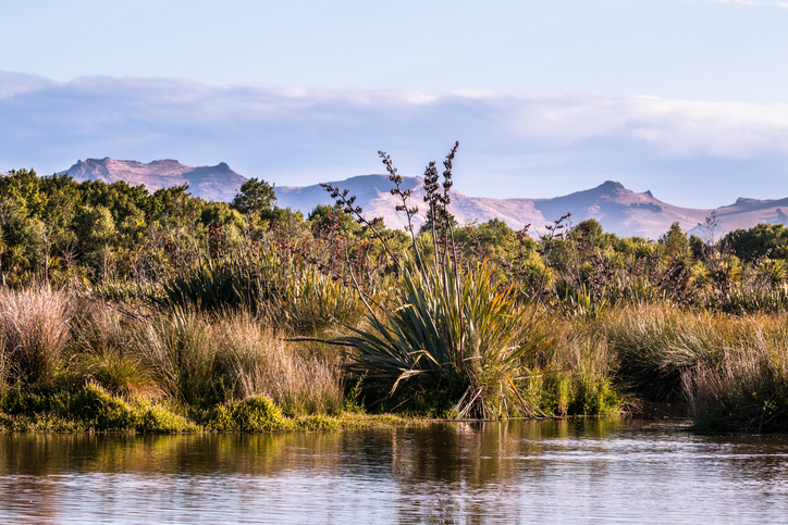
This add-in for Google Earth can help you identify wetlands using satellite imagery and public datasets.
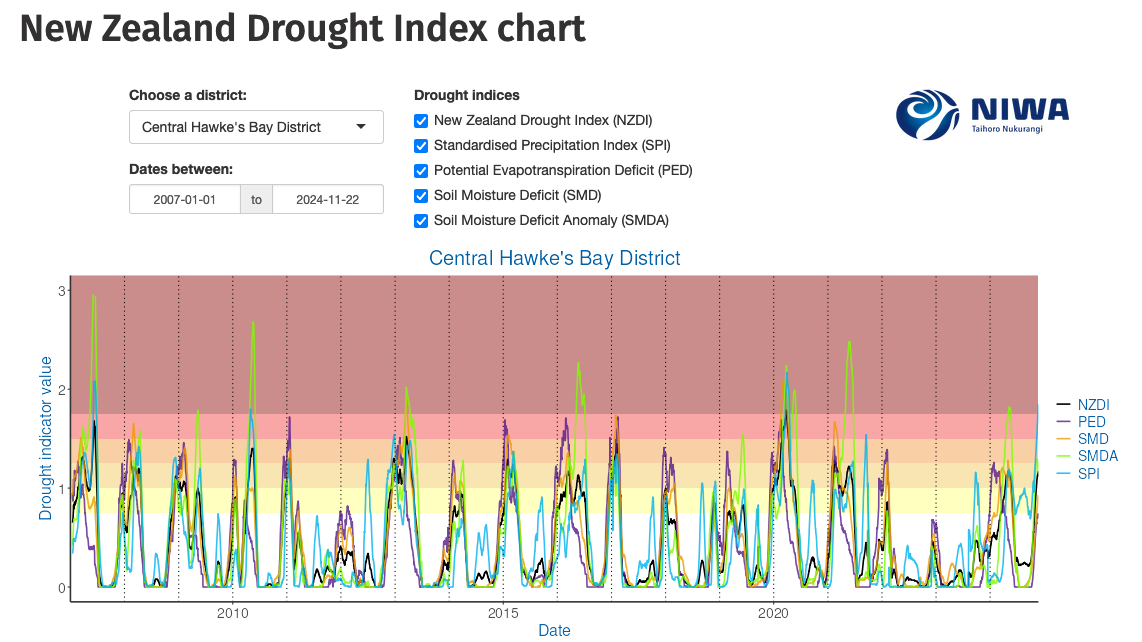
Monitor drought in New Zealand using key indicators and climate data. Access maps and downloads.
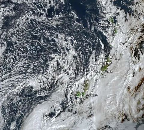
Zoom in on live satellite maps to check weather, floods, fire risk, and land changes in your rohe.
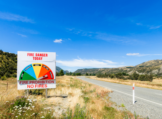
Learn about fire risks during droughts and how forestry insurance works in Aotearoa.
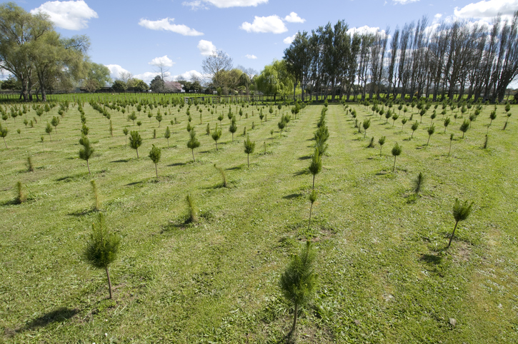
Get free forestry advice to grow trees, manage forests, and understand your responsibilities.
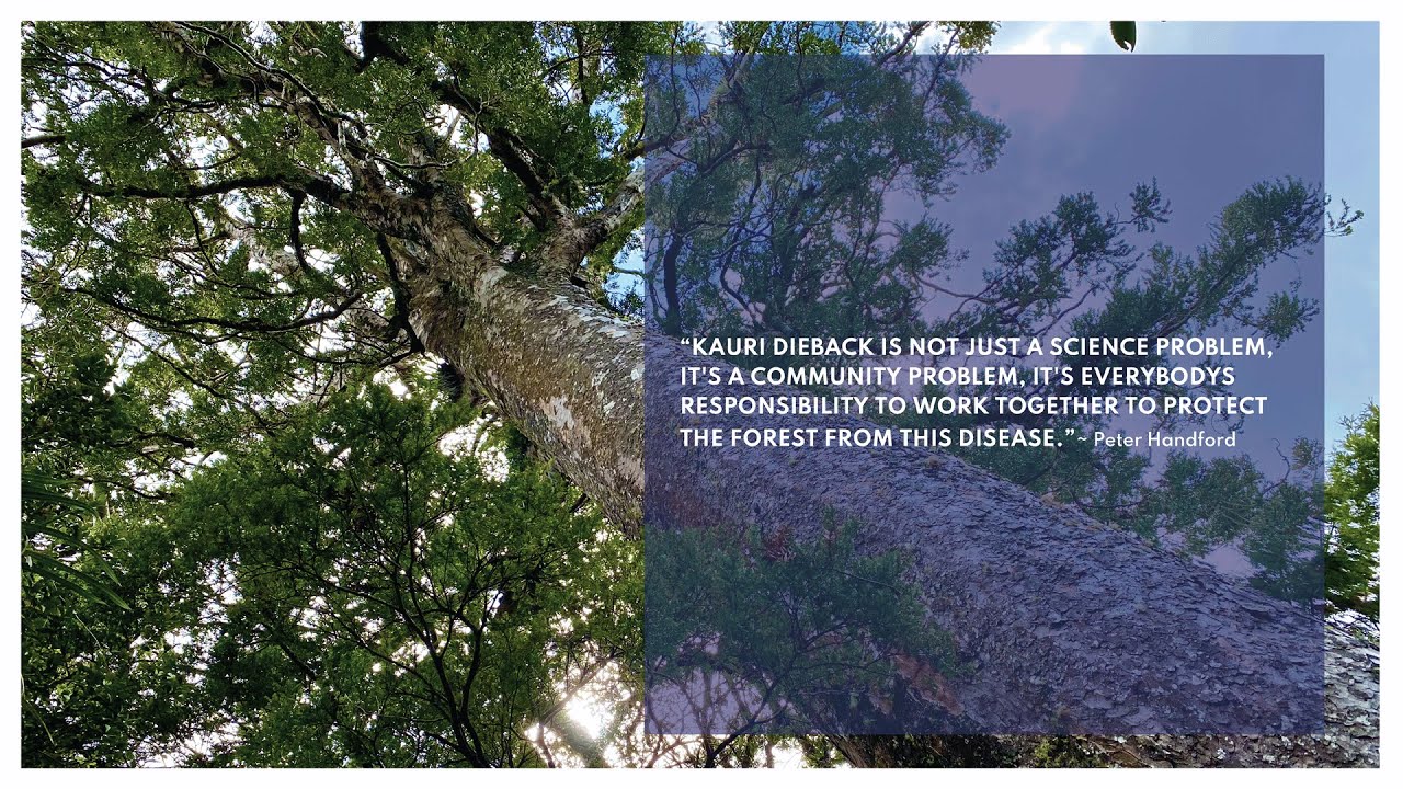
Learn about restoring native forests for sustainable farming and land use.
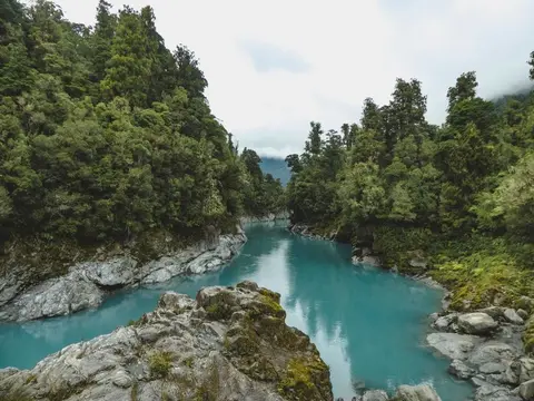
View historic indigenous forest cover in Te Wai Pounamu based on a range of different data and imagery.
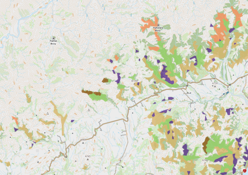
View indigenous forest cover in North Island, based on older aerial data from 1948-1955. North and South Island data has been combined into a national layer.
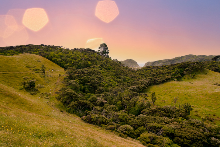
Learn about strategies and techniques for supporting and managing native biodiversity on your farm.
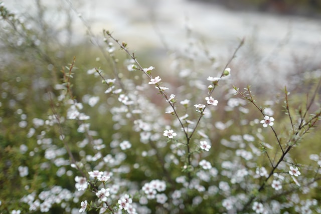
Find out which plant species will grow best in different Waikato landscapes.
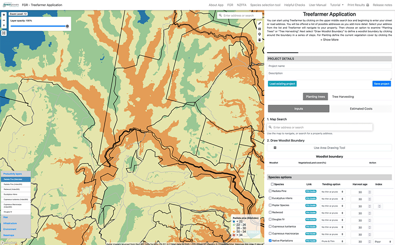
Treefarmer is a powerful free web tool to help small-scale forest growers plan tree planting and manage harvests.
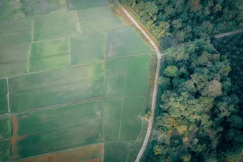
Learn to map your farm with easy webinars on using Google My Maps for project planning.
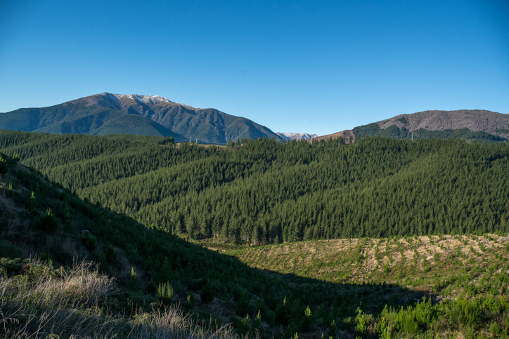
Get guidance on mapping your forest areas to assess eligibility for the Emissions Trading Scheme.
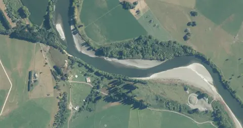
Model how land use changes might influence water quality in your catchment.
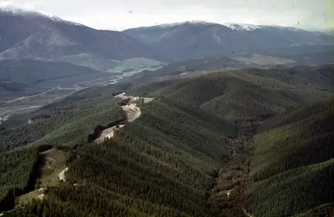
Understand the key considerations for land owners when considering entering the ETS.
Tāne’s Tree Trust offers tools and calculators to help with planting native trees.