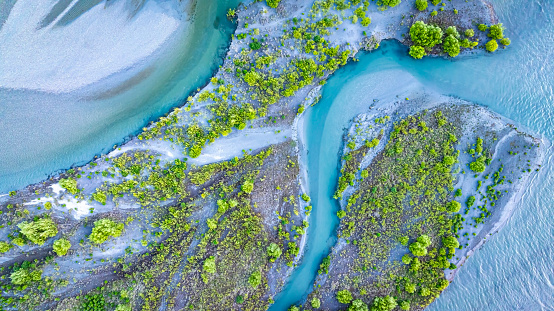
Current state vs freshwater objectives: E. coli
Whenua
Sustainability
Water
Compare E. coli levels in your local rivers against national bottom lines.
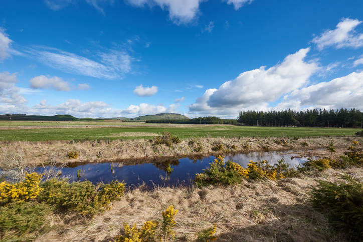
Isaac Bain explores the relationship between livestock density and water quality in rivers. It uses bivariate maps to show how different levels of livestock can affect water contamination, specifically looking at E. coli and nitrogen levels. Understanding these patterns can help you target efforts to improve water quality, ensuring safer rivers and healthier ecosystems for everyone.
Compare E. coli levels in your local rivers against national bottom lines.
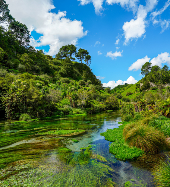
Read the report behind Aotearoa's freshwater E. coli, sediment and nutrient maps.
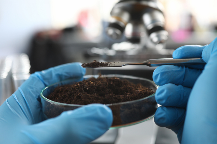
Explore how soil supports farming, impacts the environment, and learn about possible solutions for healthier farming practices.
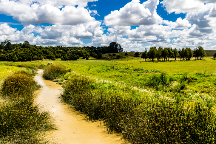
Check the E. coli runoff risk score for land in your rohe or catchment.
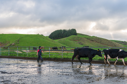
Map showing nitrate-nitrogen leaching from dairy farms, with spatial accuracy at 100m resolution.
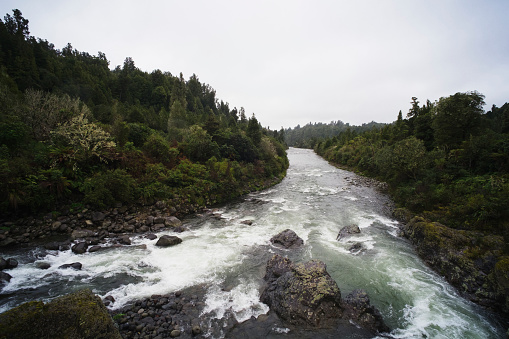
Compare nitrogen and phosphorus levels in your rivers against national bottom lines.
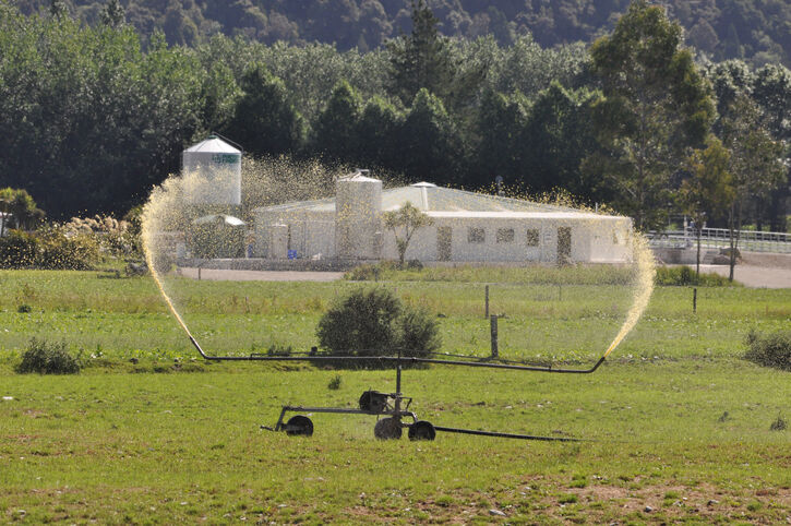
Access livestock manure data for N inputs and losses.

Explore how land use affects soil and water quality across New Zealand catchments.
View maps showing average soil moisture deficit onset and termination dates across New Zealand.
Explore updated climate projections for New Zealand, including rainfall and temperature changes.
Learn about different on-farm solutions for reducing greenhouse gas emissions from dairy farms.

Using radiometrics and local knowledge to map how Southland's landscape affects water quality.
Find data on how climate change affects water in Aotearoa’s rivers and groundwater.
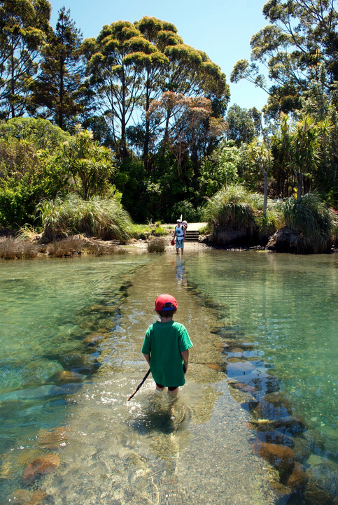
See how land-use and farm practice changes on your land can impact water quality across the catchment.
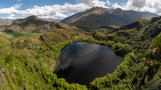
Explore how land use changes affect water quality and nitrogen, phosphorus loads.

Explore coastal flood maps to assess the potential impacts of sea-level rise in your rohe.
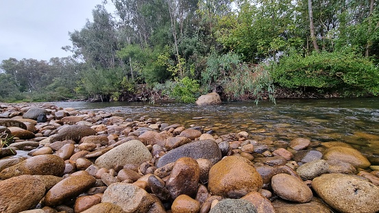
Compare sediment levels in your local rivers against national bottom lines.
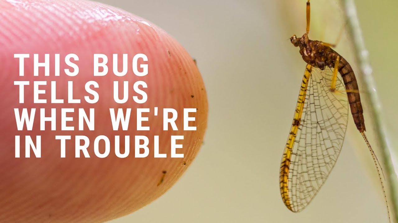
See how mayflies and macroinvertebrates indicate stream health in New Zealand.
See how susceptible your soil and climate are to nitrogen loss each month.
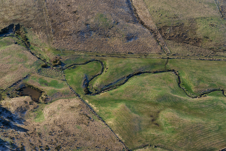
A freshwater farm plan can help you protect freshwater in your rohe. In some cases you might be required to have one.
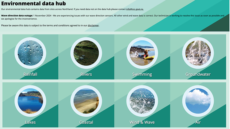
Access diverse environmental data from Northland, including air, water, and rainfall quality.
A report on New Zealand's livestock methane emissions and their impacts.
Learn about planting trees along waterways to enhance nature and prevent erosion.