How to map your farm project

How to map your farm project

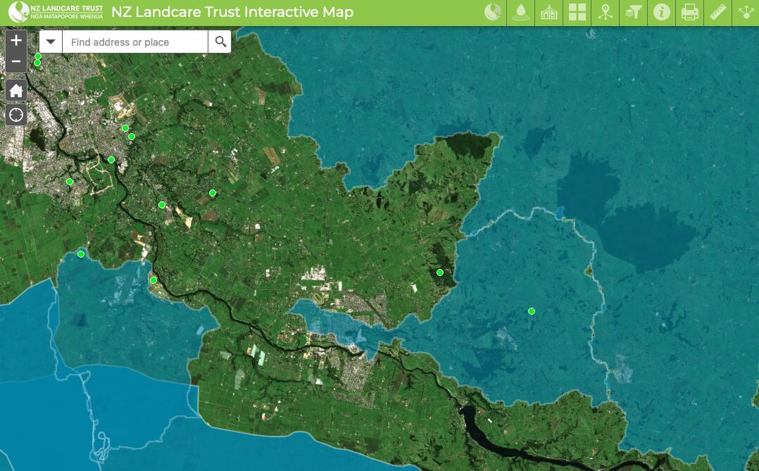
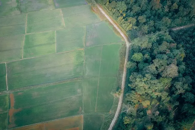
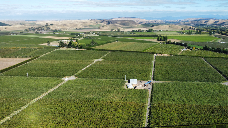
Learn to map your farm with NZ Landcare Trust's webinars on using Google My Maps. These one-hour sessions guide you in creating detailed Farm Environment Plans and project maps. Access regional webinars or all recordings on YouTube for easy learning.

Open LinkOpen Kete

Planning

  • Introduction to Farm Environment Planning

    Climate
    Agribusiness
    Emissions reduction
    Horticulture
    On-farm actions
    Planning
    Policy
    Sustainability

    Hear from experts on how to create and implement farm environment plans for sustainable farm practice in horticulture.
  • Resources to help you with integrated farm planning

    Climate
    Biodiversity
    Dairy
    Emissions reduction
    Greenhouse gas
    Planning
    Risk
    Sustainability
    Water

    A guide to integrated farm planning principles and support for farmers in Aotearoa.

  • Introduction to farm planning

    Enterprise
    Planning
    Productivity
    Sheep and beef

    Get your head around the basics of farm planning.

Sustainability

  • Soil health

    Whenua
    Productivity
    Soil
    Sustainability

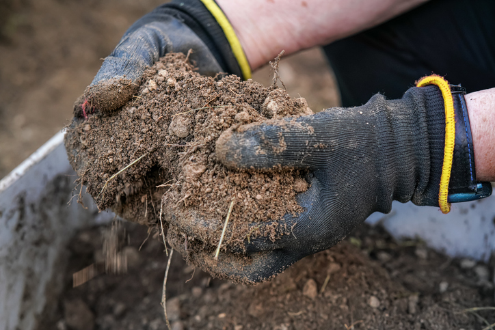
    Learn about soil's role in farming and improve soil management for better production.

  • EnviroSatTools: Coastal Module

    Whenua
    Conservation
    Sustainability

    This add-in for Google Earth can help you analyse coastal changes using satellite imagery and public datasets.

  • Cherry tree suitability

    Climate
    Horticulture
    Productivity
    Sustainability

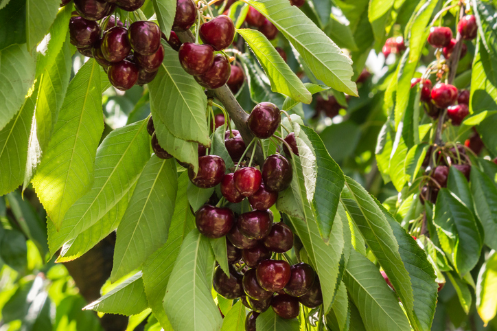
    Explore how well suited the whenua in your rohe is to growing cherries.

Conservation

  • AgriBase

    Enterprise
    Agribusiness
    Biodiversity
    Conservation
    Dairy
    Flooding
    Forestry
    Horticulture
    Livestock
    Planning
    Productivity
    Risk

    AgriBase maps NZ farms, offering data on type, size, and history for land use planning and research.

An alternative perspective

  • Apple suitability

    Climate
    Horticulture
    Productivity
    Sustainability

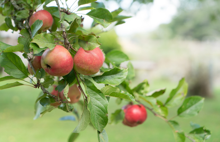
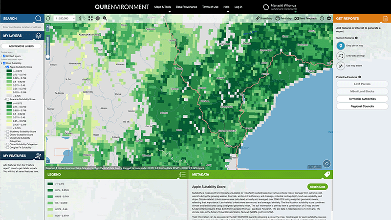
    See how well suited the whenua in your rohe is to growing apples.

  • NZ sea-level rise and vertical land movement maps

    Climate
    Adaptation
    Flooding
    Planning
    Policy
    Resilience

    Explore sea-level rise projections for New Zealand’s coasts, with local impacts and maps available.

Explore related content

Avocado suitability

Climate
Horticulture
Productivity
Sustainability

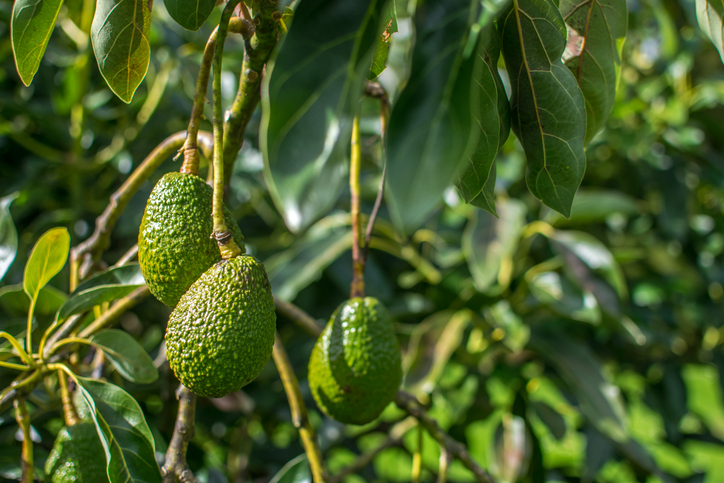
Find out how well suited the whenua in your rohe is to growing avocados.

Maize suitability

Whenua
Arable crops
Planning
Productivity

Learn how well suited the whenua in your rohe is to growing grain maize.

Prototype tool for on-farm biodiversity assessments

Whenua
Biodiversity
Conservation
Planning
Sustainability

Assess the impact of different on-farm actions on biodiversity using this simple interactive tool.

OurEnvironment NZ Land Atlas

Whenua
Biodiversity
Conservation
Forestry
Horticulture
Livestock
Planning
Soil
Sustainability
Whenua Māori

Explore New Zealand’s environment with interactive maps and data on various themes.

The New Zealand Sustainability Dashboard Project

Climate
Agribusiness
Biodiversity
Forestry
Horticulture
Profitability
Sustainability

The NZ Sustainability Dashboard helps farmers track and improve their sustainability efforts.

Kiwifruit suitability

Climate
Horticulture
Productivity
Sustainability

Learn how well suited the whenua in your rohe is to growing kiwifruit.

EnviroSatTools: Floods Module

Whenua
Flooding
Water

This add-in for Google Earth can help you map flooding using satellite imagery and public datasets.

Farm Systems Project - E2M - Enviro-Economic Model

Whenua
Farm planning
Planning
Sustainability

E2M is a decision-support tool that links farm finances and environmental impacts in one framework.