Climate Resilience Web App
Climate
Community
Resilience
Risk
Wellbeing
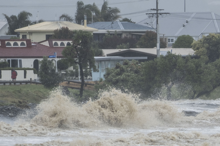
Explore interactive maps showing climate hazards for your hapori.
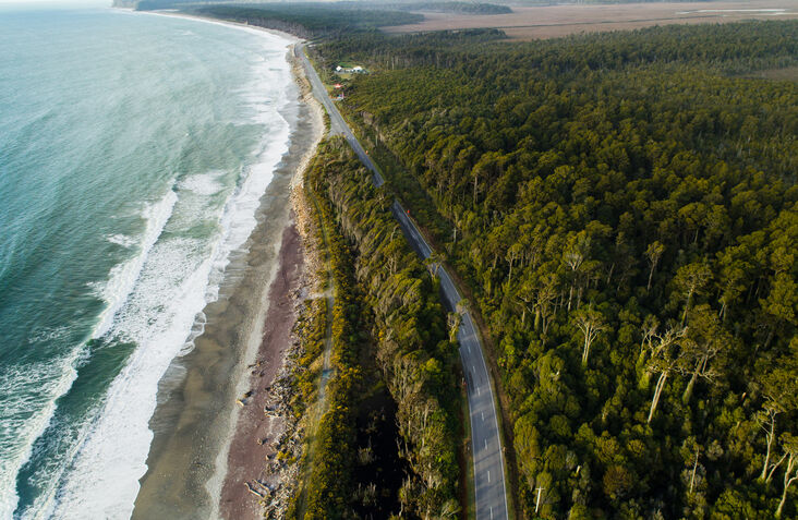
Maps Online is WCRC's easy-to-use online map portal that shows important information about properties, the environment, planning, and hazards.
Explore interactive maps showing climate hazards for your hapori.

Get practical fire safety tips for rural homes and businesses.
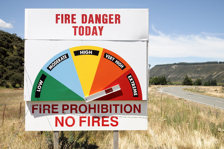
Access fire risk maps and forecasts, plus key weather data for Aotearoa's regions.
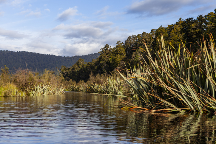
Find out about the different biosecurity initiatives taking place on the West Coast.

The SOE report shows the West Coast's natural resource trends and areas for improvement.
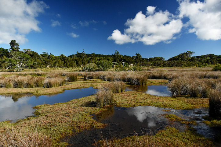
Explore and download spatial data related to Ngā Whenua Rāhui protected areas.
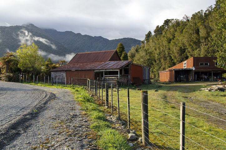
Find essential tools and resources for dairy farming and freshwater management on the West Coast.

LUCAS is a national dataset that tracks carbon sequestration and land use change over time.

Explore sea-level rise projections for New Zealand’s coasts, with local impacts and maps available.
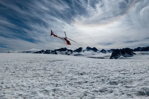
Find out how rain, mild temperatures and the Southern Alps shape the West Coast climate.

Find out which consents farming and land use need on the West Coast.

Free online learning modules to help you recognise and manage risks on the farm.

Webinar on NZ land use classes and the new Land Resources Portal for maps, guides, and data.

See land cover in Aotearoa and how it has changed over time.
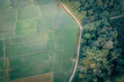
Learn to map your farm with easy webinars on using Google My Maps for project planning.
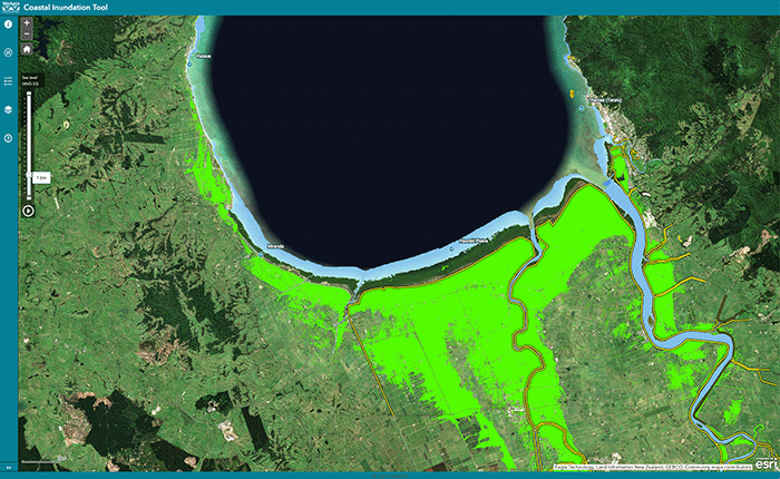
Understand coastal flooding risks in the Waikato region.
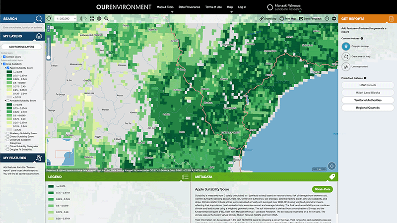
Explore New Zealand’s environment with interactive maps and data on various themes.

Retrolens is a fully searchable archive of aerial photos of Aotearoa from as far back as 1936.
AgriBase maps NZ farms, offering data on type, size, and history for land use planning and research.

Explore coastal flood maps to assess the potential impacts of sea-level rise in your rohe.
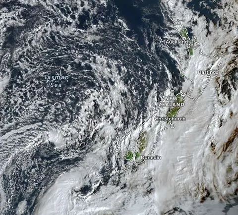
Zoom in on live satellite maps to check weather, floods, fire risk, and land changes in your rohe.