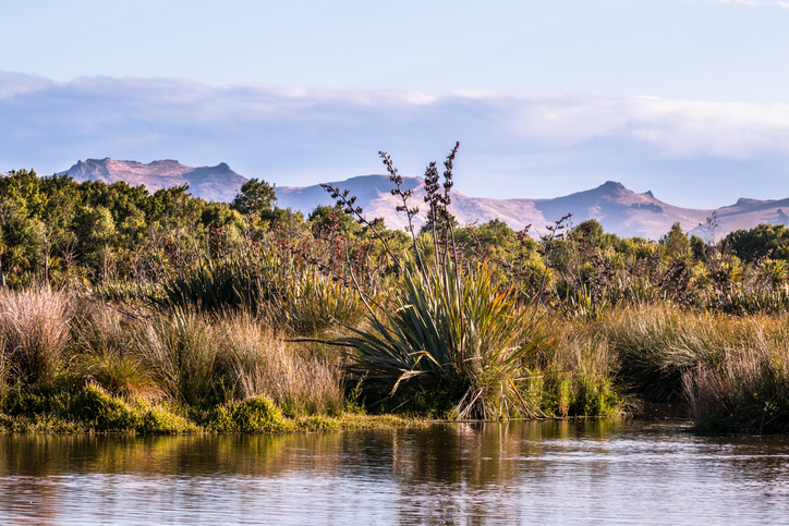
EnviroSatTools: Wetlands Module
Whenua
Biodiversity
Conservation
Water
This add-in for Google Earth can help you identify wetlands using satellite imagery and public datasets.
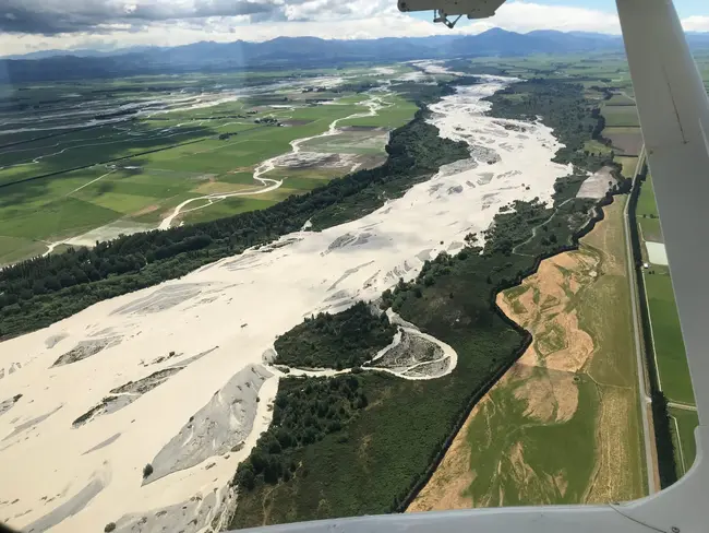
EnviroSatTools: Floods Module is a Google Earth add-in that can help identify and map surface water and assess flood frequency using satellite imagery and public datasets. It is intended for users with some technical and local knowledge about flooding.
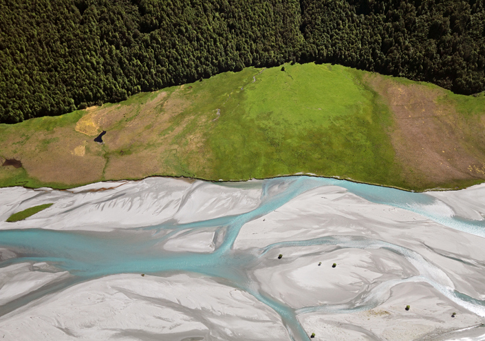
Photo: “Rangitata River Flood (Dec 2019), New Zealand 05” by Σ64, licensed for reuse under CC BY 4.0
This add-in for Google Earth can help you identify wetlands using satellite imagery and public datasets.

Explore coastal flood maps to assess the potential impacts of sea-level rise in your rohe.
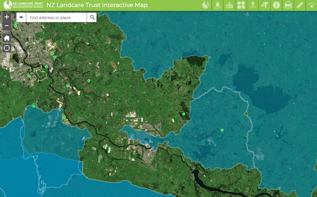
Find catchment and environmental groups and water quality data with this interactive map.
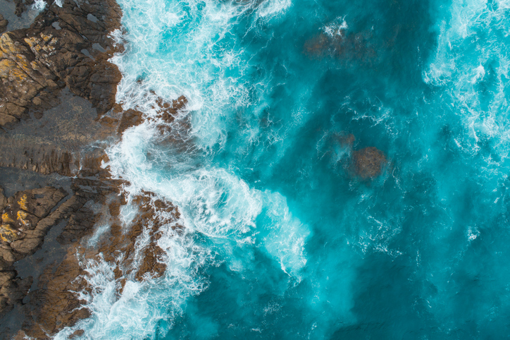
This add-in for Google Earth can help you analyse coastal changes using satellite imagery and public datasets.
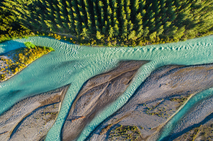
EnviroSatTools is a collection of Google Maps add-ins to help analysts map land and water using satellite imagery and public datasets.
This add-in for Google Earth can help you track short-term land changes using satellite imagery and public datasets.
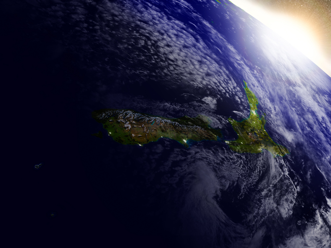
This resource discusses how satellite data can improve New Zealand's food and fibre sector.

See land cover in Aotearoa and how it has changed over time.
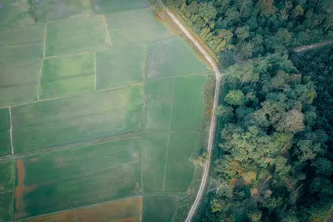
Learn to map your farm with easy webinars on using Google My Maps for project planning.

Explore sea-level rise projections for New Zealand’s coasts, with local impacts and maps available.
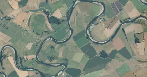
See flood risk maps for your region now and under future climate changes.
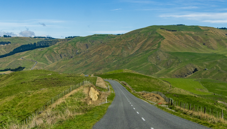
Dairy farmers in Waikato adapt to floods, droughts, and climate change impacts.
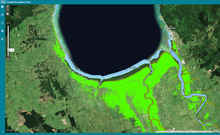
Understand coastal flooding risks in the Waikato region.
Plantation Watch Lite offers satellite imagery for land changes in Aotearoa.

See how rising temperatures, floods, changing rain, and the environment may affect our whenua over the next century.
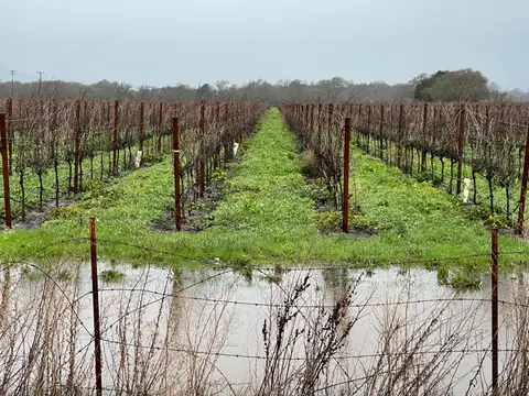
Find flood response guidance and support resources for growers affected by adverse events.
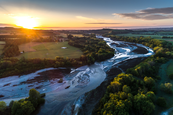
A comprehensive dataset of Aotearoa river catchments that drain to the sea.

This widely used map estimates the land's potential for agricultural production.
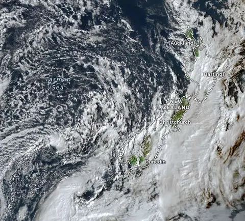
Zoom in on live satellite maps to check weather, floods, fire risk, and land changes in your rohe.
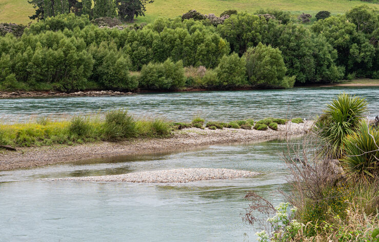
Read about the nature-based methods the Ruamahanga Restoration Trust is using to slow water and reduce flooding impacts.
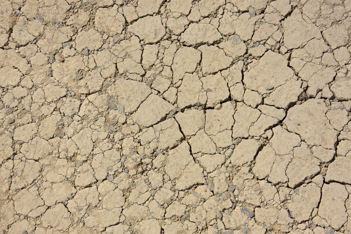
View drought intensity data and charts for your region. Updated monthly.
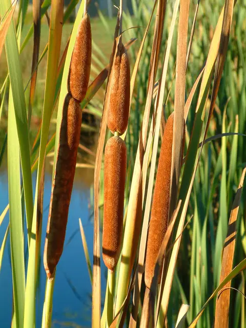
An interactive key to identify different wetlands that can be found in Aotearoa.

LUCAS is a national dataset that tracks carbon sequestration and land use change over time.