EnviroSatTools: Change Detection Module
Whenua
Biodiversity
Conservation
Planning
Resilience
Sustainability
This add-in for Google Earth can help you track short-term land changes using satellite imagery and public datasets.
Plantation Watch Lite is a web map tool that lets you pick any area and download satellite images from different satellites and time periods. It’s helpful if you want to check what was on a block of land at past dates or see how vegetation and land use have changed on your whenua over time.
This add-in for Google Earth can help you track short-term land changes using satellite imagery and public datasets.
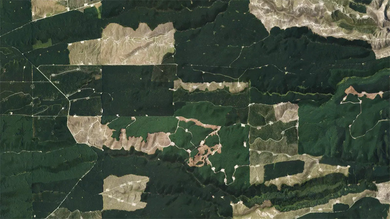
This add-in for Google Earth can help you monitor and analyse forest changes using satellite imagery and public datasets.
This add-in for Google Earth can help you analyse coastal changes using satellite imagery and public datasets.

See land cover in Aotearoa and how it has changed over time.

LUCAS is a national dataset that tracks carbon sequestration and land use change over time.
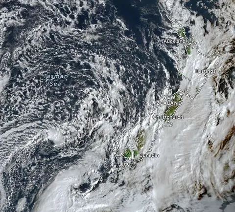
Zoom in on live satellite maps to check weather, floods, fire risk, and land changes in your rohe.
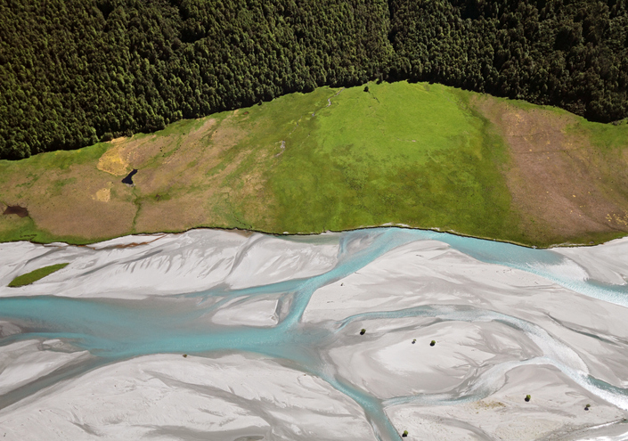
EnviroSatTools is a collection of Google Maps add-ins to help analysts map land and water using satellite imagery and public datasets.
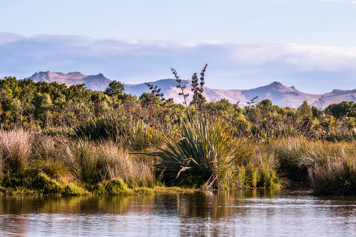
This add-in for Google Earth can help you identify wetlands using satellite imagery and public datasets.
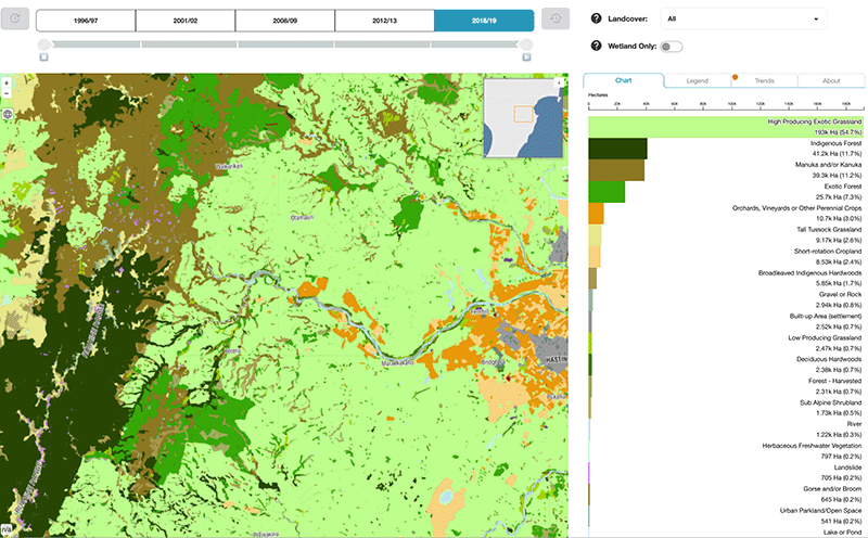
Explore how land cover has changed in Aotearoa over the past 25 years.
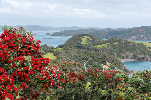
Explore projected temperature and rainfall changes for Aotearoa online.

Explore sea-level rise projections for New Zealand’s coasts, with local impacts and maps available.
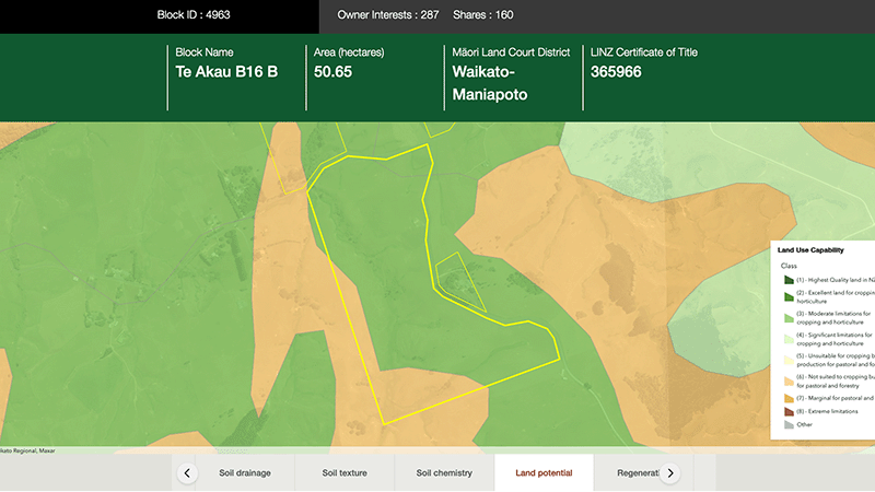
Explore different regulatory, soil, water, and land potential maps for your whenua.
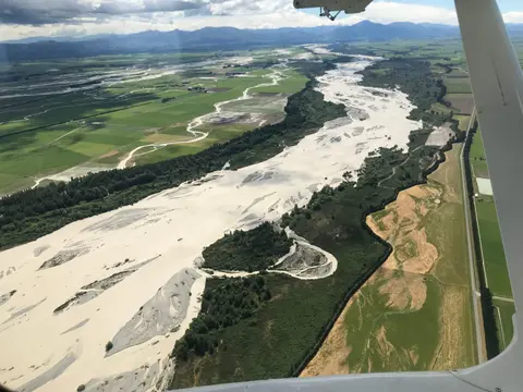
This add-in for Google Earth can help you map flooding using satellite imagery and public datasets.
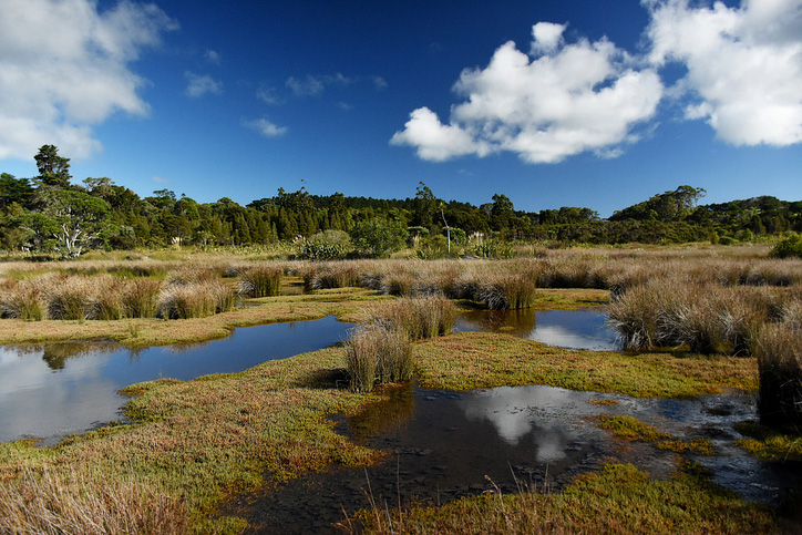
Explore and download spatial data related to Ngā Whenua Rāhui protected areas.
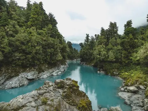
View historic indigenous forest cover in Te Wai Pounamu based on a range of different data and imagery.
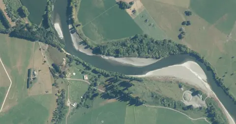
Model how land use changes might influence water quality in your catchment.
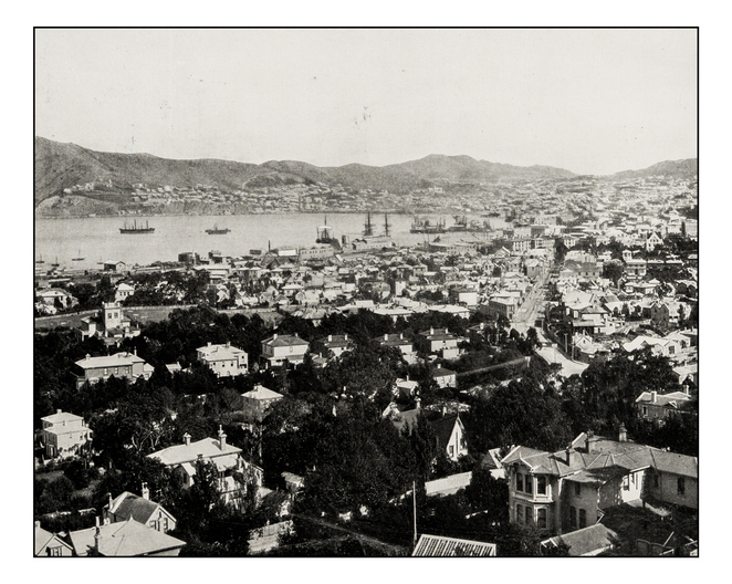
Retrolens is a fully searchable archive of aerial photos of Aotearoa from as far back as 1936.
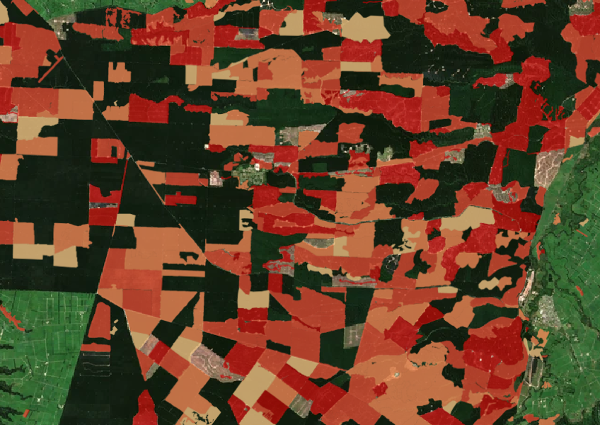
See the extent of forested land cleared between 2008 and 2020 shaded by year.
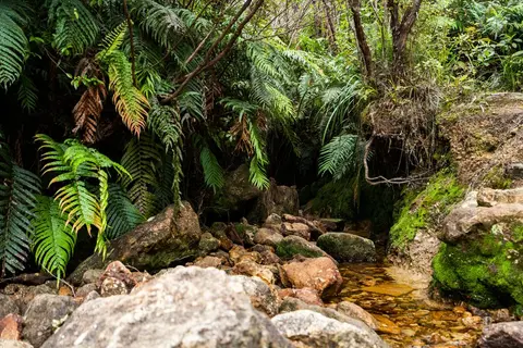
View historic indigenous forest cover in Te Ika a Māui based on a range of different data and imagery.

This widely used map estimates the land's potential for agricultural production.
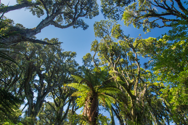
Explore New Zealand's forests, their history, importance, and management efforts.
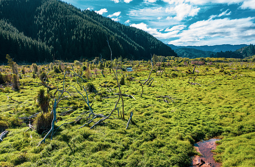
Search Māori land blocks, ownership records, and land status through the Māori Land Court.
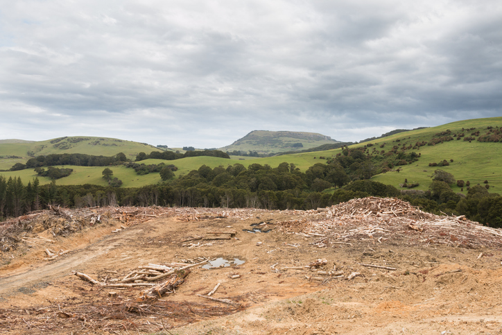
See statistics about deforestation for each local council area.